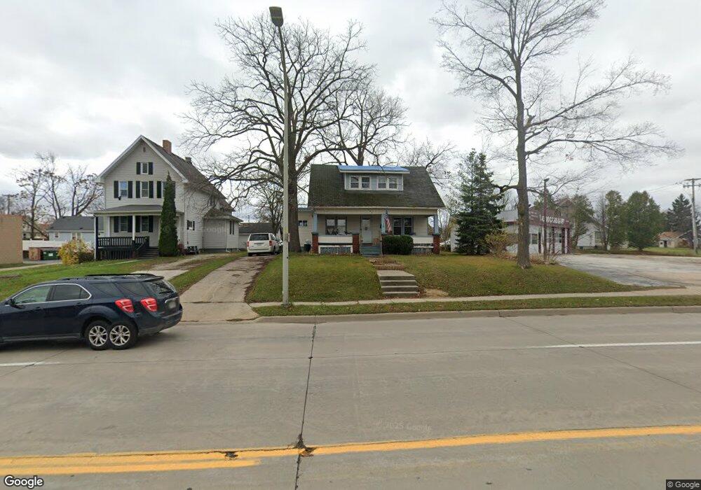
443 10th St Port Huron, MI 48060
Estimated Value: $108,000 - $143,000
3
Beds
1
Bath
1,130
Sq Ft
$110/Sq Ft
Est. Value
About This Home
This home is located at 443 10th St, Port Huron, MI 48060 and is currently estimated at $124,611, approximately $110 per square foot. 443 10th St is a home located in St. Clair County with nearby schools including Woodrow Wilson Elementary School, Holland Woods Middle School, and Port Huron High School.
Create a Home Valuation Report for This Property
The Home Valuation Report is an in-depth analysis detailing your home's value as well as a comparison with similar homes in the area
Home Values in the Area
Average Home Value in this Area
Tax History Compared to Growth
Tax History
| Year | Tax Paid | Tax Assessment Tax Assessment Total Assessment is a certain percentage of the fair market value that is determined by local assessors to be the total taxable value of land and additions on the property. | Land | Improvement |
|---|---|---|---|---|
| 2025 | $1,905 | $49,900 | $0 | $0 |
| 2024 | $1,471 | $45,000 | $0 | $0 |
| 2023 | $1,393 | $39,800 | $0 | $0 |
| 2022 | $1,361 | $33,600 | $0 | $0 |
| 2021 | $926 | $30,000 | $0 | $0 |
| 2020 | $936 | $28,200 | $28,200 | $0 |
| 2019 | $920 | $20,000 | $0 | $0 |
| 2018 | $900 | $20,000 | $0 | $0 |
| 2017 | $805 | $18,900 | $0 | $0 |
| 2016 | $678 | $18,900 | $0 | $0 |
| 2015 | $739 | $19,600 | $19,600 | $0 |
| 2014 | $739 | $20,600 | $20,600 | $0 |
| 2013 | -- | $20,600 | $0 | $0 |
Source: Public Records
Map
Nearby Homes