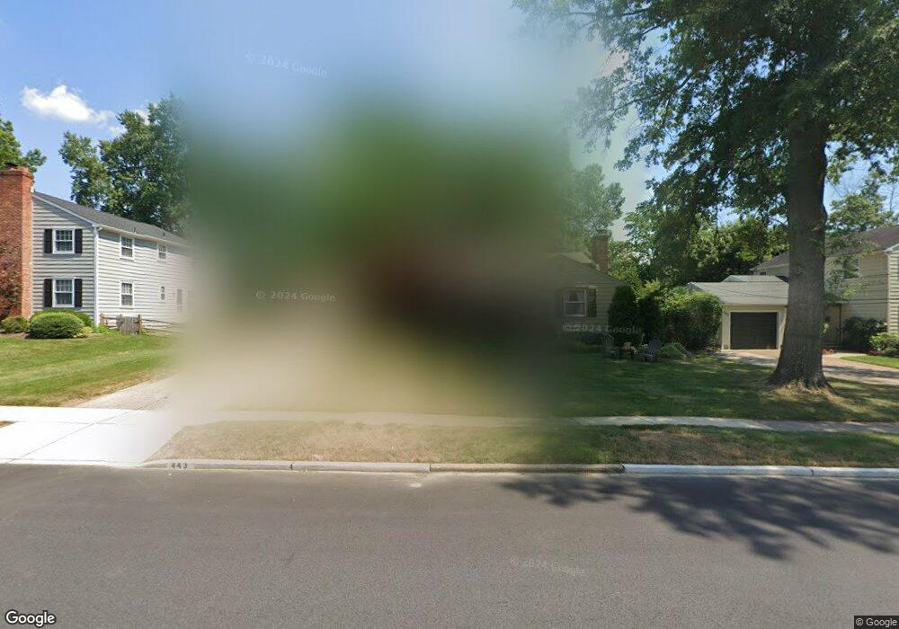
443 Covered Bridge Rd Cherry Hill, NJ 08034
Estimated Value: $397,404 - $494,000
--
Bed
--
Bath
1,343
Sq Ft
$337/Sq Ft
Est. Value
About This Home
This home is located at 443 Covered Bridge Rd, Cherry Hill, NJ 08034 and is currently estimated at $452,351, approximately $336 per square foot. 443 Covered Bridge Rd is a home located in Camden County with nearby schools including A. Russell Knight Elementary School, John A Carusi Middle School, and Cherry Hill High-West High School.
Ownership History
Date
Name
Owned For
Owner Type
Purchase Details
Closed on
Jun 2, 1998
Sold by
Bailey William F
Bought by
Lechliter Carl J and Lechliter Joan W
Current Estimated Value
Home Financials for this Owner
Home Financials are based on the most recent Mortgage that was taken out on this home.
Original Mortgage
$134,000
Outstanding Balance
$26,737
Interest Rate
7.02%
Estimated Equity
$425,614
Create a Home Valuation Report for This Property
The Home Valuation Report is an in-depth analysis detailing your home's value as well as a comparison with similar homes in the area
Home Values in the Area
Average Home Value in this Area
Purchase History
| Date | Buyer | Sale Price | Title Company |
|---|---|---|---|
| Lechliter Carl J | $141,000 | -- |
Source: Public Records
Mortgage History
| Date | Status | Borrower | Loan Amount |
|---|---|---|---|
| Open | Lechliter Carl J | $134,000 |
Source: Public Records
Tax History Compared to Growth
Tax History
| Year | Tax Paid | Tax Assessment Tax Assessment Total Assessment is a certain percentage of the fair market value that is determined by local assessors to be the total taxable value of land and additions on the property. | Land | Improvement |
|---|---|---|---|---|
| 2025 | $9,774 | $219,200 | $70,800 | $148,400 |
| 2024 | $9,211 | $219,200 | $70,800 | $148,400 |
| 2023 | $9,211 | $219,200 | $70,800 | $148,400 |
| 2022 | $8,957 | $219,200 | $70,800 | $148,400 |
| 2021 | $8,985 | $219,200 | $70,800 | $148,400 |
| 2020 | $8,875 | $219,200 | $70,800 | $148,400 |
| 2019 | $8,871 | $219,200 | $70,800 | $148,400 |
| 2018 | $8,847 | $219,200 | $70,800 | $148,400 |
| 2017 | $8,726 | $219,200 | $70,800 | $148,400 |
| 2016 | $8,610 | $219,200 | $70,800 | $148,400 |
| 2015 | $8,474 | $219,200 | $70,800 | $148,400 |
| 2014 | $8,380 | $219,200 | $70,800 | $148,400 |
Source: Public Records
Map
Nearby Homes
- 314 Covered Bridge Rd
- 1217 Forge Rd
- 1222 Sequoia Rd
- 1227 Cotswold Ln
- 1216 Wyndmoor Rd
- 119 W Riding Rd
- 1324 Charleston Rd
- 505 Fern Ave
- 515 Kresson Rd
- 102 Lane of Trees
- 217 Redstone Ridge
- 110 Barclay Ln
- 130 Pearl Croft Rd
- 117 Lucerne Blvd
- 1109 Winding Dr
- 1111 Barclay Towers
- 1007 Chelten Pkwy
- 2 Collage Ct
- 1010 Salem Rd
- 109 Old Carriage Rd
- 439 Covered Bridge Rd
- 447 Covered Bridge Rd
- 424 Burning Tree Rd
- 451 Covered Bridge Rd
- 420 Burning Tree Rd
- 435 Covered Bridge Rd
- 444 E Covered Bridge Road 0 Unit 1
- 444 N Covered Bridge Road 0 Unit 1
- 444 Covered Bridge Rd
- 444 Covered Bridge Rd Unit 1
- 440 Covered Bridge Rd
- 416 Burning Tree Rd
- 457 Covered Bridge Rd
- 428 Burning Tree Rd
- 448 Covered Bridge Rd
- 436 Covered Bridge Rd
- 431 Covered Bridge Rd
- 452 Covered Bridge Rd
- 461 Covered Bridge Rd
- 432 Covered Bridge Rd