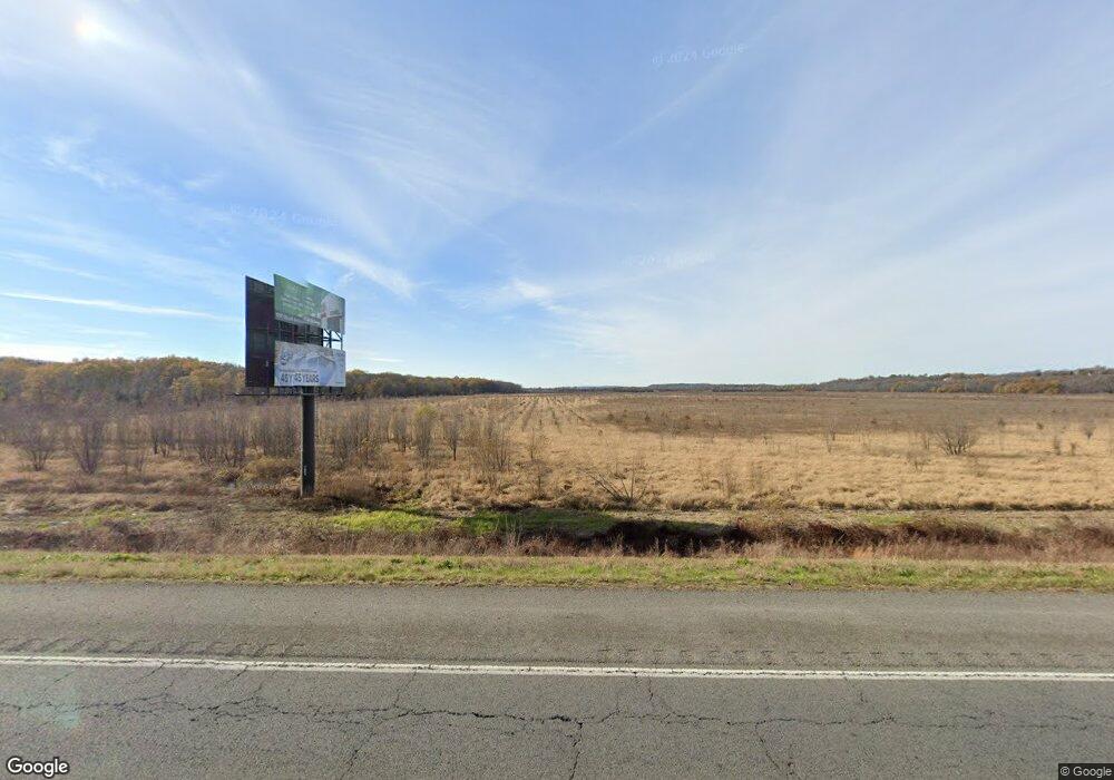
443 Highway 65 N Conway, AR 72032
Estimated Value: $402,368
--
Bed
--
Bath
5,000
Sq Ft
$80/Sq Ft
Est. Value
About This Home
This home is located at 443 Highway 65 N, Conway, AR 72032 and is currently estimated at $402,368, approximately $80 per square foot. 443 Highway 65 N is a home located in Faulkner County with nearby schools including Theodore Jones Elementary School, Conway Junior High School, and Conway High School.
Ownership History
Date
Name
Owned For
Owner Type
Purchase Details
Closed on
Dec 19, 2008
Bought by
Falcon Mechanical Contr Inc
Current Estimated Value
Purchase Details
Closed on
Jan 19, 2007
Bought by
Shawna Co Llc
Home Financials for this Owner
Home Financials are based on the most recent Mortgage that was taken out on this home.
Original Mortgage
$160,000
Interest Rate
6.09%
Mortgage Type
Commercial
Purchase Details
Closed on
Jan 17, 2007
Sold by
Cullum J Frank and Cullum Doris
Bought by
Shawnaco Llc
Home Financials for this Owner
Home Financials are based on the most recent Mortgage that was taken out on this home.
Original Mortgage
$160,000
Interest Rate
6.09%
Mortgage Type
Commercial
Purchase Details
Closed on
Aug 16, 1995
Bought by
Cullum
Create a Home Valuation Report for This Property
The Home Valuation Report is an in-depth analysis detailing your home's value as well as a comparison with similar homes in the area
Home Values in the Area
Average Home Value in this Area
Purchase History
| Date | Buyer | Sale Price | Title Company |
|---|---|---|---|
| Falcon Mechanical Contr Inc | $157,000 | -- | |
| Shawna Co Llc | $200,000 | -- | |
| Shawnaco Llc | $200,000 | Conway Title Service | |
| Shawna Co Llc | $200,000 | -- | |
| Cullum | $12,000 | -- |
Source: Public Records
Mortgage History
| Date | Status | Borrower | Loan Amount |
|---|---|---|---|
| Previous Owner | Shawnaco Llc | $160,000 |
Source: Public Records
Tax History Compared to Growth
Tax History
| Year | Tax Paid | Tax Assessment Tax Assessment Total Assessment is a certain percentage of the fair market value that is determined by local assessors to be the total taxable value of land and additions on the property. | Land | Improvement |
|---|---|---|---|---|
| 2024 | $1,219 | $32,830 | $12,890 | $19,940 |
| 2023 | $2,495 | $53,780 | $12,890 | $40,890 |
| 2022 | $1,268 | $25,180 | $12,890 | $12,290 |
| 2021 | $1,318 | $25,180 | $12,890 | $12,290 |
| 2020 | $1,684 | $33,070 | $12,890 | $20,180 |
| 2019 | $1,684 | $33,070 | $12,890 | $20,180 |
| 2018 | $1,684 | $33,070 | $12,890 | $20,180 |
| 2017 | $1,684 | $33,070 | $12,890 | $20,180 |
| 2016 | $1,684 | $33,070 | $12,890 | $20,180 |
| 2015 | $1,332 | $34,490 | $12,170 | $22,320 |
| 2014 | $1,482 | $34,490 | $12,170 | $22,320 |
Source: Public Records
Map
Nearby Homes
- 122 N Woodland Dr
- 20 Caddo Dr
- 393 U S 65
- 5 E Cadron Ridge Rd
- 00 Sandlewood Rd
- 700 Acklin Gap Rd
- Lot 9 J Hawks Dr
- 3610 Breezy Cir
- 1950 Shadow Falls Dr
- 16 Pinecrest Ct
- 23 Gapview Rd
- 6 Pinecrest Ct
- 22 Primrose Ln
- 10 Kim Dr
- 0 Hwy 65 Unit 18011955
- 3030 Plateau Dr
- 65 Tanager Trail
- 1250 Edge Valley Dr N
- 38 Colt Loop
- 98 Paiger Ln
- 443 Hwy 65 N
- 408 Hwy 65 N
- 12 Stanford Rd
- 103 James Rd
- 102 Stanford Rd
- 105 James Rd
- 101 Stanford Rd
- 103 Stanford Rd
- 105 Stanford Rd
- 110 Stanford Rd
- 110 James Rd
- 65 North Ave
- 100 N Woodland Dr
- 107 Stanford Rd
- 112 James Rd
- 102 N Woodland Dr
- 112 Stanford Rd
- 0 N Woodland Dr
- 104 N Woodland Dr
- 113 James Rd
