Estimated Value: $61,189 - $215,000
3
Beds
1
Bath
960
Sq Ft
$163/Sq Ft
Est. Value
About This Home
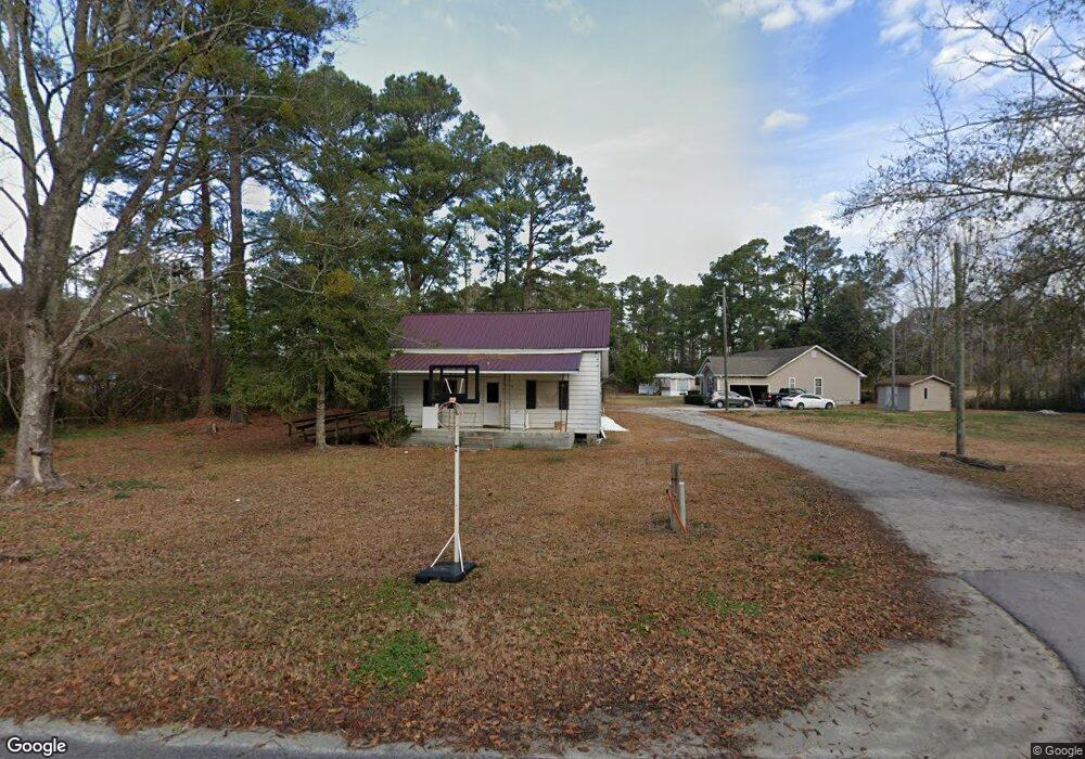
This home is located at 443 Kitsap Ln, Longs, SC 29568 and is currently estimated at $156,047, approximately $162 per square foot. 443 Kitsap Ln is a home located in Horry County with nearby schools including Daisy Elementary School, Loris Middle School, and Loris High School.
Ownership History
Date
Name
Owned For
Owner Type
Purchase Details
Closed on
Jul 28, 2014
Sold by
Mcneil Clemon J
Bought by
Hill Ericka D
Current Estimated Value
Purchase Details
Closed on
Nov 25, 2009
Sold by
Freeman Bobbie
Bought by
Hill Ericka D
Purchase Details
Closed on
Mar 3, 2005
Sold by
Destiny Ventures Llc
Bought by
Stewardship Fund Lp
Purchase Details
Closed on
Oct 28, 2004
Sold by
Wells Fargo Bank Minnesota Na
Bought by
Destiny Ventures Llc
Purchase Details
Closed on
Mar 15, 2004
Sold by
Foster Margaret and Ameriquest Mortgage Co
Bought by
Wells Fargo Bank Minnesota Na and Ameriquest Mortgage Securities Inc
Create a Home Valuation Report for This Property
The Home Valuation Report is an in-depth analysis detailing your home's value as well as a comparison with similar homes in the area
Home Values in the Area
Average Home Value in this Area
Purchase History
| Date | Buyer | Sale Price | Title Company |
|---|---|---|---|
| Hill Ericka D | $17,000 | -- | |
| Hill Ericka D | -- | -- | |
| Stewardship Fund Lp | $8,500 | -- | |
| Destiny Ventures Llc | -- | -- | |
| Wells Fargo Bank Minnesota Na | $20,000 | -- |
Source: Public Records
Tax History Compared to Growth
Tax History
| Year | Tax Paid | Tax Assessment Tax Assessment Total Assessment is a certain percentage of the fair market value that is determined by local assessors to be the total taxable value of land and additions on the property. | Land | Improvement |
|---|---|---|---|---|
| 2024 | -- | $1,884 | $1,393 | $491 |
| 2023 | $444 | $1,635 | $735 | $900 |
| 2021 | $438 | $1,717 | $817 | $900 |
| 2020 | $381 | $1,717 | $817 | $900 |
| 2019 | $381 | $1,717 | $817 | $900 |
| 2018 | $346 | $1,422 | $534 | $888 |
| 2017 | $331 | $1,422 | $534 | $888 |
| 2016 | -- | $1,422 | $534 | $888 |
| 2015 | $331 | $1,422 | $534 | $888 |
| 2014 | $321 | $1,422 | $534 | $888 |
Source: Public Records
Map
Nearby Homes
- 115 Kingston Bluff Dr
- 315 Mistletoe Way Unit Lot 58
- Whitetail Plan at Birchwood
- Woodhaven Plan at Birchwood
- Gerson Plan at Birchwood
- Brower Plan at Birchwood
- Lookout Plan at Birchwood
- 304 Mistletoe Way
- 304 Mistletoe Way Unit Lot 5
- 12264 S Carolina 905 Unit N Highway 905
- 509 Covewood Ct
- 344 Mistletoe Way Unit Lot 15
- 1146 Joywood Dr
- 10086 S Carolina 905
- 401 Quinta St
- 568 Mossbank Loop
- 517 Mossbank Loop
- TBD W Bear Grass Rd
- 378 Hillwood Ct
- 321 Boxcar Dr
- 448 Kitsap Ln
- 155 Roper Ln
- 171 Roper Ln
- TBD Roper Ln
- 375 Saint Johns Cir Unit Lot 1C Melanie
- 144 Roper Ln
- 386 St. Johns Cir
- 0 Tbd Rose St Unit 2220375
- 184 Roper Ln Unit Lot 1B Megan
- 10146 S Highway 905
- 190 Roper Ln Unit Lot 1A Madalyn
- 10131 S Highway 905
- 10131 S Highway 905
- 10131 S Highway 905
- 123 Kingston Bluff Dr Unit Lot 16 Model Buckley
- 1036 S Carolina 905
- TBD Saint Johns Cir
- Lot 4 Saint Johns Cir
- Lot 5 Saint Johns Cir
- 139 Kingston Bluff Dr Unit Lot 12 Model Darling