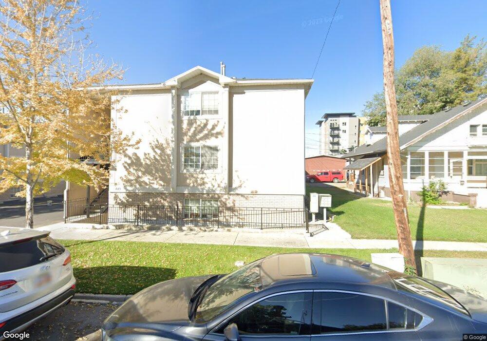
443 N 100 W Unit 11 Provo, UT 84601
Downtown Provo NeighborhoodEstimated Value: $263,000 - $309,000
2
Beds
1
Bath
820
Sq Ft
$355/Sq Ft
Est. Value
About This Home
This home is located at 443 N 100 W Unit 11, Provo, UT 84601 and is currently estimated at $290,990, approximately $354 per square foot. 443 N 100 W Unit 11 is a home located in Utah County with nearby schools including Provo Peaks School, Centennial Middle School, and Timpview High School.
Ownership History
Date
Name
Owned For
Owner Type
Purchase Details
Closed on
Feb 19, 2020
Sold by
Bolstad Barbara and 2013 Barbara Bosltad Revocable
Bought by
Russell Kent S and Russell Rozanne F
Current Estimated Value
Purchase Details
Closed on
Mar 22, 2013
Sold by
Bolstad Barbara M
Bought by
Bolstad Barbara and The 2013 Barbara Bolstad Revocable Trust
Purchase Details
Closed on
Feb 15, 2003
Sold by
Little L James and Little Nancy D
Bought by
Bolstad William A and Bolstad Barbara M
Purchase Details
Closed on
Oct 10, 2000
Sold by
Little L James and Little Nancy D
Bought by
William A Bolstad Jr Trust and Bolstad Barbara M
Create a Home Valuation Report for This Property
The Home Valuation Report is an in-depth analysis detailing your home's value as well as a comparison with similar homes in the area
Home Values in the Area
Average Home Value in this Area
Purchase History
| Date | Buyer | Sale Price | Title Company |
|---|---|---|---|
| Russell Kent S | -- | Provo Land Title Company | |
| Bolstad Barbara | -- | None Available | |
| Bolstad William A | -- | First American Title Co | |
| William A Bolstad Jr Trust | -- | First American Title Co |
Source: Public Records
Tax History Compared to Growth
Tax History
| Year | Tax Paid | Tax Assessment Tax Assessment Total Assessment is a certain percentage of the fair market value that is determined by local assessors to be the total taxable value of land and additions on the property. | Land | Improvement |
|---|---|---|---|---|
| 2025 | $1,394 | $148,280 | $30,000 | $239,600 |
| 2024 | $1,394 | $137,225 | $0 | $0 |
| 2023 | $1,414 | $137,170 | $0 | $0 |
| 2022 | $1,341 | $131,230 | $0 | $0 |
| 2021 | $1,127 | $192,400 | $23,100 | $169,300 |
| 2020 | $1,112 | $177,900 | $21,300 | $156,600 |
| 2019 | $968 | $161,000 | $21,000 | $140,000 |
| 2018 | $830 | $140,000 | $17,000 | $123,000 |
| 2017 | $746 | $69,190 | $0 | $0 |
| 2016 | $741 | $64,075 | $0 | $0 |
| 2015 | $705 | $61,600 | $0 | $0 |
| 2014 | $676 | $61,600 | $0 | $0 |
Source: Public Records
Map
Nearby Homes
- 250 N 100 W Unit 109
- 361 N 300 W Unit 201
- 136 E 400 N Unit 107
- 75 E 200 N Unit 106
- 270 N 400 W
- 466 N 200 E
- 209 N 400 W
- 836 N University Ave Unit 111
- 394 N 300 E
- 40 S Freedom Blvd
- 614 W 400 N
- 595 N 600 W
- 556 W 800 N Unit 18
- 266 N 700 W
- 810 N 600 W
- 828 N 600 W
- 541 E 500 N Unit 10
- 541 E 500 N Unit 12
- 440 N 800 W
- 213 S 100 E