Estimated Value: $220,000 - $347,000
--
Bed
1
Bath
--
Sq Ft
2.05
Acres
About This Home
This home is located at 443 N Bend Rd, Surry, ME 04684 and is currently estimated at $291,006. 443 N Bend Rd is a home located in Hancock County with nearby schools including Surry Elementary School.
Ownership History
Date
Name
Owned For
Owner Type
Purchase Details
Closed on
Jan 25, 2021
Sold by
Gaspar William H and Gaspar Angel
Bought by
Ream Brian and Ream Maria
Current Estimated Value
Purchase Details
Closed on
Jun 3, 2008
Sold by
Gaspar William H
Bought by
Mcalpine Angel and Gaspar William H
Home Financials for this Owner
Home Financials are based on the most recent Mortgage that was taken out on this home.
Original Mortgage
$128,000
Interest Rate
5.91%
Mortgage Type
Commercial
Create a Home Valuation Report for This Property
The Home Valuation Report is an in-depth analysis detailing your home's value as well as a comparison with similar homes in the area
Home Values in the Area
Average Home Value in this Area
Purchase History
| Date | Buyer | Sale Price | Title Company |
|---|---|---|---|
| Ream Brian | -- | None Available | |
| Mcalpine Angel | -- | -- |
Source: Public Records
Mortgage History
| Date | Status | Borrower | Loan Amount |
|---|---|---|---|
| Previous Owner | Mcalpine Angel | $128,000 |
Source: Public Records
Tax History Compared to Growth
Tax History
| Year | Tax Paid | Tax Assessment Tax Assessment Total Assessment is a certain percentage of the fair market value that is determined by local assessors to be the total taxable value of land and additions on the property. | Land | Improvement |
|---|---|---|---|---|
| 2024 | $2,309 | $219,500 | $53,700 | $165,800 |
| 2023 | $1,986 | $219,500 | $53,700 | $165,800 |
| 2022 | $1,787 | $219,500 | $53,700 | $165,800 |
| 2021 | $1,739 | $171,800 | $32,000 | $139,800 |
| 2020 | $1,608 | $171,800 | $32,000 | $139,800 |
| 2019 | $1,538 | $171,800 | $32,000 | $139,800 |
| 2018 | $1,520 | $171,800 | $32,000 | $139,800 |
| 2017 | $1,486 | $171,800 | $32,000 | $139,800 |
| 2016 | $1,466 | $171,500 | $32,000 | $139,500 |
| 2015 | $1,243 | $171,500 | $32,000 | $139,500 |
| 2014 | $1,269 | $171,500 | $32,000 | $139,500 |
| 2013 | $1,269 | $171,500 | $32,000 | $139,500 |
Source: Public Records
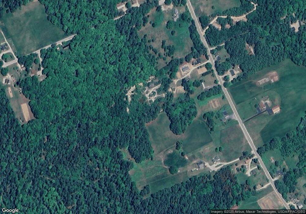
Map
Nearby Homes
- M035L11-14 Lord Ave
- Lot 1-7 Manhattan Way
- 4 Addie Rd
- 36 Addie Rd
- Map 38 Lot 11
- Lot 48-2-8 Mayflower Way
- 664 Bucksport Rd
- 1101
- 1118 Surry Rd
- 00 Bucksport Rd
- Lot #1 Bucksport Rd
- 1008 Surry Rd
- 1022 Surry Rd
- 9 Meadow Brook Ln
- 992 Surry Rd
- 884 Surry Rd
- Lot #15 Toddy Pond Rd
- 10-10 Toddy Pond Rd
- #15 Granite Rock Cir N
- Lot 10 4R2 Pine Cone Ln
- 443 N Bend Rd
- 451 N Bend Rd
- 17 N Bend Rd
- 446 N Bend Rd
- 443 N Bend St
- 456 N Bend Rd
- 465 N Bend Rd
- 13 Rattle Trap Rd
- 2 Jellison Ridge Rd
- 472 N Bend Rd
- 0 Jellison Ridge Rd Unit 735089
- 0 Jellison Ridge Rd Unit 980457
- 481 N Bend Rd
- 15 Jellison Ridge Rd
- 5 Jellison Ridge Rd
- 493 N Bend Rd
- 48 Jellison Ridge Rd
- 489 N Bend Rd
- 494 N Bend Rd
- 28 Hillside Ln