443 Port Stanley Rd Lopez Island, WA 98261
Estimated Value: $896,000 - $1,110,000
3
Beds
1
Bath
1,255
Sq Ft
$790/Sq Ft
Est. Value
About This Home
This home is located at 443 Port Stanley Rd, Lopez Island, WA 98261 and is currently estimated at $991,926, approximately $790 per square foot. 443 Port Stanley Rd is a home located in San Juan County with nearby schools including Lopez Elementary School and Lopez Middle High School.
Ownership History
Date
Name
Owned For
Owner Type
Purchase Details
Closed on
Jul 1, 2024
Sold by
Wolfley Vern A and Wolfley Eileen P
Bought by
Bodily Warren D and Bodily Sara L
Current Estimated Value
Purchase Details
Closed on
Apr 6, 2021
Sold by
Brimley Norda Beth and Vern A And Bernice Wolfley Tru
Bought by
Woley Vern A and Wolfley Eileen
Home Financials for this Owner
Home Financials are based on the most recent Mortgage that was taken out on this home.
Original Mortgage
$548,250
Interest Rate
3%
Mortgage Type
New Conventional
Create a Home Valuation Report for This Property
The Home Valuation Report is an in-depth analysis detailing your home's value as well as a comparison with similar homes in the area
Home Values in the Area
Average Home Value in this Area
Purchase History
| Date | Buyer | Sale Price | Title Company |
|---|---|---|---|
| Bodily Warren D | $356,663 | None Listed On Document | |
| Woley Vern A | $739,024 | San Juan Title |
Source: Public Records
Mortgage History
| Date | Status | Borrower | Loan Amount |
|---|---|---|---|
| Previous Owner | Woley Vern A | $548,250 |
Source: Public Records
Tax History Compared to Growth
Tax History
| Year | Tax Paid | Tax Assessment Tax Assessment Total Assessment is a certain percentage of the fair market value that is determined by local assessors to be the total taxable value of land and additions on the property. | Land | Improvement |
|---|---|---|---|---|
| 2024 | $5,782 | $973,850 | $413,750 | $560,100 |
| 2023 | $5,782 | $969,850 | $413,750 | $556,100 |
| 2022 | $5,637 | $884,840 | $413,870 | $470,970 |
| 2021 | $4,871 | $707,170 | $344,890 | $362,280 |
| 2020 | $4,638 | $624,040 | $344,890 | $279,150 |
| 2019 | $4,007 | $598,660 | $344,890 | $253,770 |
| 2018 | $3,571 | $686,370 | $515,630 | $170,740 |
| 2017 | $3,631 | $467,750 | $333,330 | $134,420 |
| 2016 | $3,571 | $516,810 | $392,140 | $124,670 |
| 2015 | $2,391 | $519,410 | $392,140 | $127,270 |
| 2014 | $2,391 | $489,580 | $356,570 | $133,010 |
| 2012 | $2,391 | $474,300 | $339,590 | $134,710 |
Source: Public Records
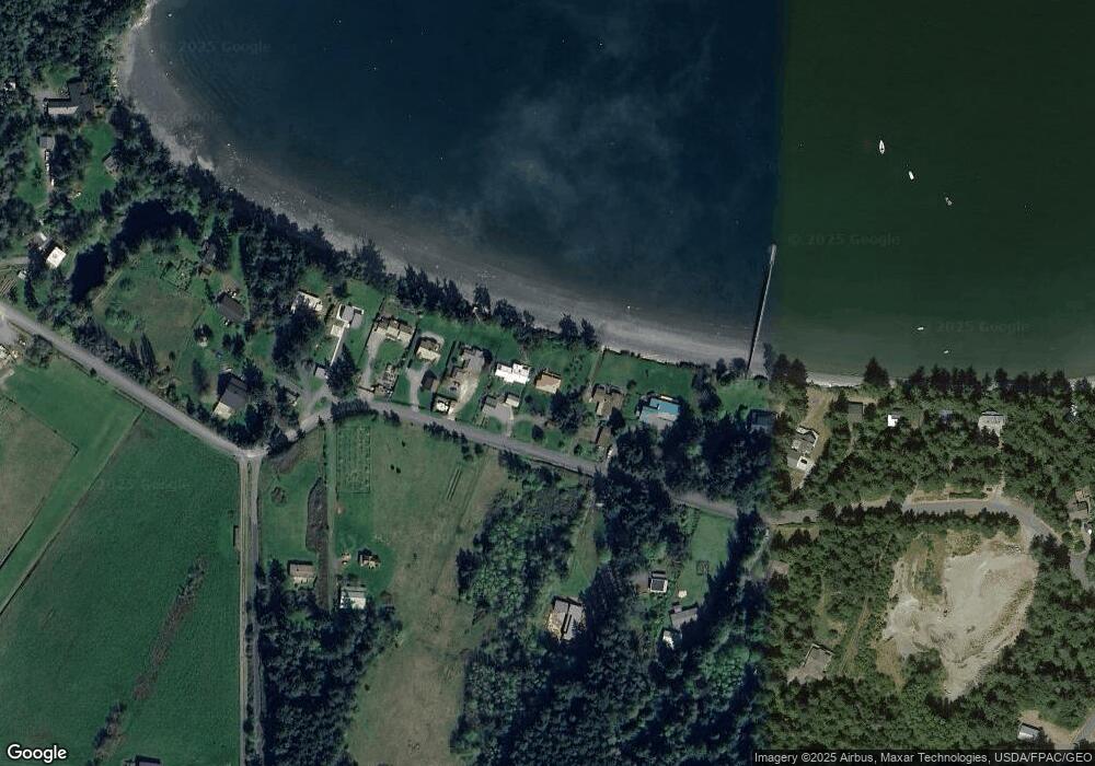
Map
Nearby Homes
- 137 Forest Ln
- 239 Shoreland Dr
- 755 Ferry Rd
- 783 Ferry Rd
- 162 Sea Ranch Rd
- 331 Nelson Ln
- 230 Gem Farm Ln
- 1372 Bakerview Rd
- 104 Estenson Rd
- 95 Weeks Rd
- 264 Shaw Park Rd
- 86 Shag Rock Ln
- 296 Shag Rock Ln
- 281 Maritime Rd
- 315 Mariner Dr
- 335 Blakely Dr
- 1486 Center Rd
- 1898 Bayshore Rd
- 0 EC-19 E Cove Rd
- 295 Rum Runner Rd
- 427 Port Stanley Rd
- 461 Port Stanley Rd
- 401 Port Stanley Rd
- 475 Port Stanley Rd
- 381 Port Stanley Rd
- 523 Port Stanley Rd
- 361 Port Stanley Rd
- 525 Port Stanley Rd
- 353 Port Stanley Rd
- 516 Port Stanley Rd
- 342 Port Stanley Rd
- 557 Port Stanley Rd
- 343 Port Stanley Rd
- 540 Port Stanley Rd
- 558 Port Stanley Rd
- 587 Port Stanley Rd
- 323 Port Stanley Rd
- 601 Port Stanley Rd
- 611 Port Stanley Rd
- 207 Port Stanley Rd