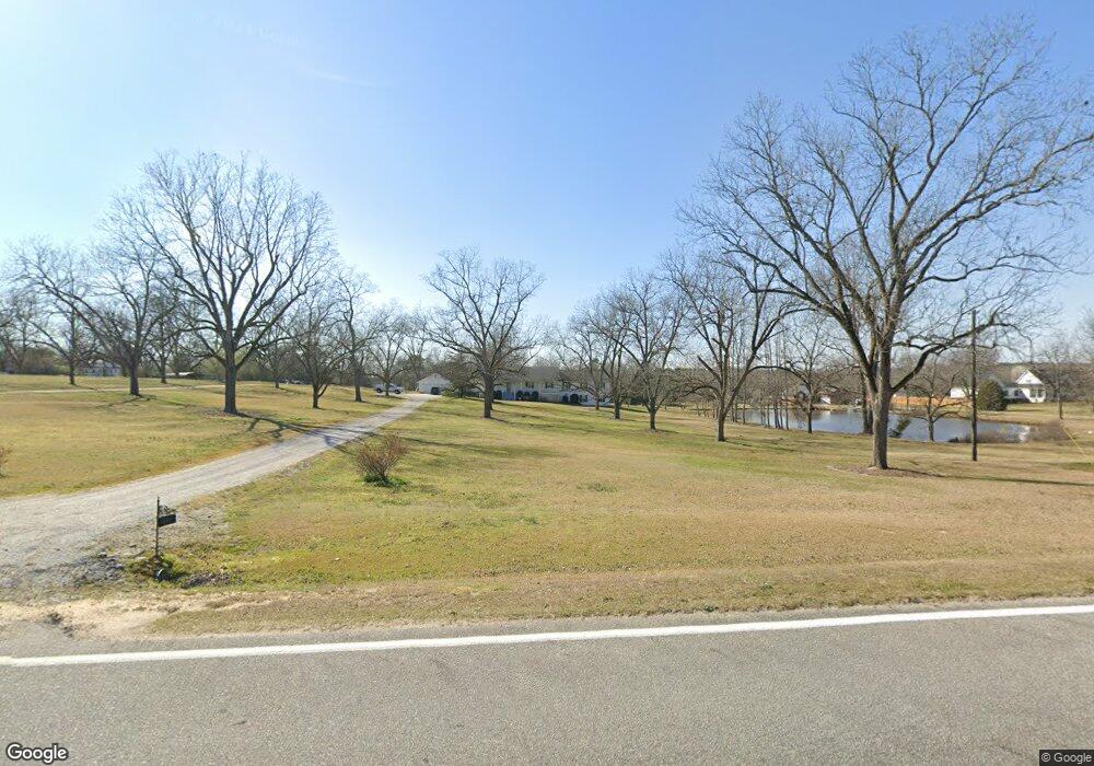
443 Pylant Crossing Rd Thomson, GA 30824
Estimated Value: $412,000 - $466,000
3
Beds
3
Baths
2,907
Sq Ft
$149/Sq Ft
Est. Value
About This Home
This home is located at 443 Pylant Crossing Rd, Thomson, GA 30824 and is currently estimated at $433,063, approximately $148 per square foot. 443 Pylant Crossing Rd is a home located in McDuffie County with nearby schools including Thomson High School and Briarwood Academy.
Ownership History
Date
Name
Owned For
Owner Type
Purchase Details
Closed on
May 15, 2006
Sold by
Dismuke David J
Bought by
Wilson Steven T and Wilson Kimberly T
Current Estimated Value
Home Financials for this Owner
Home Financials are based on the most recent Mortgage that was taken out on this home.
Original Mortgage
$167,920
Outstanding Balance
$97,460
Interest Rate
6.63%
Mortgage Type
New Conventional
Estimated Equity
$335,603
Purchase Details
Closed on
Dec 21, 1994
Bought by
Dismuke Dismuke D and Dismuke Melba L
Create a Home Valuation Report for This Property
The Home Valuation Report is an in-depth analysis detailing your home's value as well as a comparison with similar homes in the area
Home Values in the Area
Average Home Value in this Area
Purchase History
| Date | Buyer | Sale Price | Title Company |
|---|---|---|---|
| Wilson Steven T | $209,900 | -- | |
| Dismuke Dismuke D | $10,800 | -- |
Source: Public Records
Mortgage History
| Date | Status | Borrower | Loan Amount |
|---|---|---|---|
| Open | Wilson Steven T | $167,920 | |
| Closed | Wilson Steven T | $41,980 |
Source: Public Records
Tax History Compared to Growth
Tax History
| Year | Tax Paid | Tax Assessment Tax Assessment Total Assessment is a certain percentage of the fair market value that is determined by local assessors to be the total taxable value of land and additions on the property. | Land | Improvement |
|---|---|---|---|---|
| 2025 | $3,408 | $147,604 | $14,579 | $133,025 |
| 2024 | $3,408 | $139,581 | $13,134 | $126,447 |
| 2023 | $3,319 | $134,508 | $13,134 | $121,374 |
| 2022 | $3,194 | $122,808 | $9,706 | $113,102 |
| 2021 | $2,611 | $98,705 | $9,424 | $89,281 |
| 2020 | $2,403 | $89,237 | $10,751 | $78,486 |
| 2019 | $2,428 | $89,237 | $10,751 | $78,486 |
| 2018 | $2,428 | $89,237 | $10,751 | $78,486 |
| 2017 | $2,343 | $89,237 | $10,751 | $78,486 |
| 2016 | $2,343 | $89,237 | $10,751 | $78,486 |
| 2015 | $2,207 | $92,117 | $13,631 | $78,486 |
| 2014 | $2,441 | $101,285 | $13,631 | $87,654 |
| 2013 | -- | $101,284 | $13,631 | $87,653 |
Source: Public Records
Map
Nearby Homes
- 140 Gin Branch Rd
- 124 Gin Branch Rd
- 150 Gin Branch Rd
- 151 Gin Branch Rd
- 110 Gin Branch Rd
- 141 Gin Branch Rd
- 125 Gin Branch Rd
- 150 Big Rock Rd
- 126 Big Rock Rd
- 140 Big Rock Rd
- 125 Big Rock Rd
- 141 Big Rock Rd
- 110 Big Rock Rd
- 170 Alcovy Rd
- 155 Alcovy Rd
- 166 Alcovy Rd
- 125 Alcovy Rd
- 126 Alcovy Rd
- 111 Alcovy Rd
- 141 Alcovy Rd
- 429 Pylant Crossing Rd
- 485 Pylant Crossing Rd
- 411 Pylant Crossing Rd
- 668 Pylant Crossing Rd
- 386 Pylant Crossing Rd
- 533 Pylant Crossing Rd
- 387 Pylant Crossing Rd
- 327 Pylant Crossing Rd
- 531 Pylant Crossing Rd
- 603 Pylant Crossing Rd
- 257 Pylant Crossing Rd
- 219 Pylant Crossing Rd
- 451 Pylant Crossing Rd
- 201 Pylant Crossing Rd
- 2760 Warrenton Hwy Unit (TRACT B)
- 2760 Warrenton Hwy
- 111 Gin Branch Rd
- 0 Warrenton Hwy Unit 289142
- 0 Warrenton Hwy Unit 512652
- 0 Warrenton Hwy Unit 351056