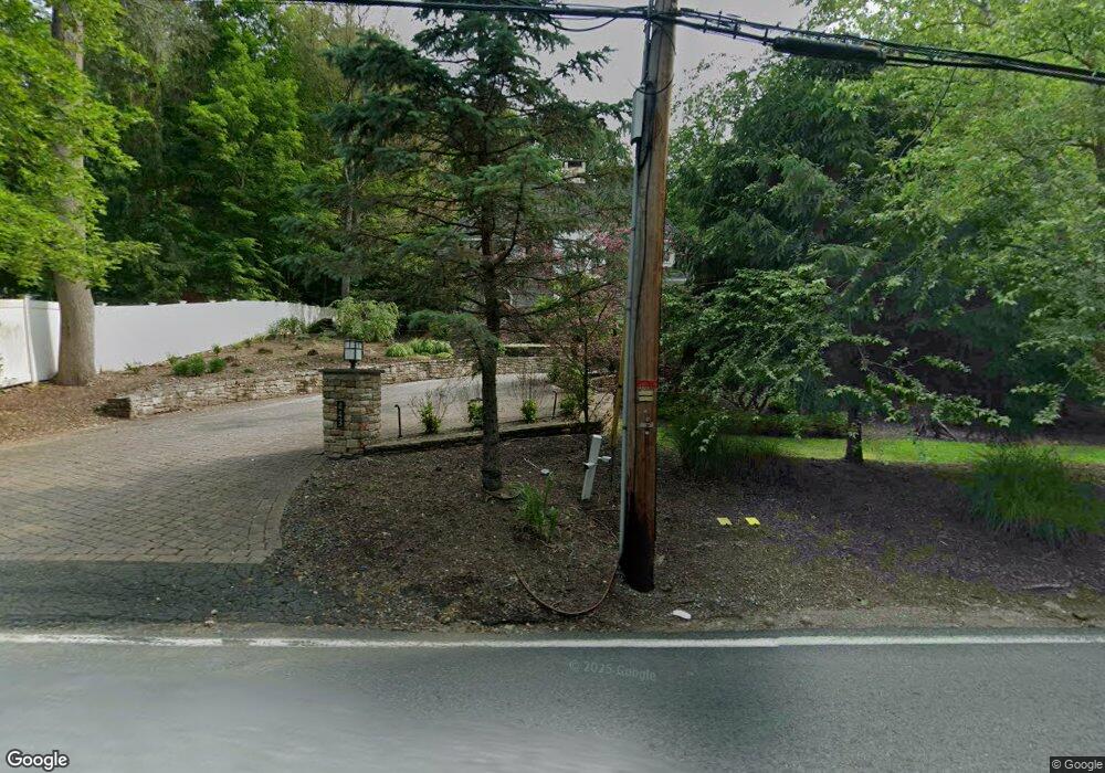
443 S Mountain Rd New City, NY 10956
Estimated Value: $680,000 - $1,328,000
4
Beds
4
Baths
3,600
Sq Ft
$288/Sq Ft
Est. Value
About This Home
This home is located at 443 S Mountain Rd, New City, NY 10956 and is currently estimated at $1,036,861, approximately $288 per square foot. 443 S Mountain Rd is a home located in Rockland County with nearby schools including Woodglen Elementary School, Felix Festa Middle School, and Clarkstown North Senior High School.
Ownership History
Date
Name
Owned For
Owner Type
Purchase Details
Closed on
Dec 18, 2012
Sold by
Rowland Christopher
Bought by
Garwin Samdeep and Martinez Hector Ivan Ojeda
Current Estimated Value
Home Financials for this Owner
Home Financials are based on the most recent Mortgage that was taken out on this home.
Original Mortgage
$816,000
Outstanding Balance
$564,822
Interest Rate
3.35%
Mortgage Type
New Conventional
Estimated Equity
$472,039
Purchase Details
Closed on
Dec 18, 2007
Sold by
Rosenbloom Cara H
Bought by
Rowland Christopher
Purchase Details
Closed on
Oct 31, 2003
Sold by
Meyerson Jennifer I
Bought by
Rosenbloom Cara H
Home Financials for this Owner
Home Financials are based on the most recent Mortgage that was taken out on this home.
Original Mortgage
$180,000
Interest Rate
5.9%
Mortgage Type
Purchase Money Mortgage
Create a Home Valuation Report for This Property
The Home Valuation Report is an in-depth analysis detailing your home's value as well as a comparison with similar homes in the area
Home Values in the Area
Average Home Value in this Area
Purchase History
| Date | Buyer | Sale Price | Title Company |
|---|---|---|---|
| Garwin Samdeep | $1,020,000 | Jade New York Title Agency | |
| Rowland Christopher | $350,000 | Old Republic National Title | |
| Rosenbloom Cara H | $240,000 | Fidelity National Title Insu |
Source: Public Records
Mortgage History
| Date | Status | Borrower | Loan Amount |
|---|---|---|---|
| Open | Garwin Samdeep | $816,000 | |
| Previous Owner | Rosenbloom Cara H | $180,000 |
Source: Public Records
Tax History Compared to Growth
Tax History
| Year | Tax Paid | Tax Assessment Tax Assessment Total Assessment is a certain percentage of the fair market value that is determined by local assessors to be the total taxable value of land and additions on the property. | Land | Improvement |
|---|---|---|---|---|
| 2024 | $32,413 | $282,300 | $42,800 | $239,500 |
| 2023 | $32,413 | $282,300 | $42,800 | $239,500 |
| 2022 | $26,418 | $282,300 | $42,800 | $239,500 |
| 2021 | $26,418 | $282,300 | $42,800 | $239,500 |
| 2020 | $26,663 | $282,300 | $42,800 | $239,500 |
| 2019 | $25,655 | $282,300 | $42,800 | $239,500 |
| 2018 | $25,655 | $282,300 | $42,800 | $239,500 |
| 2017 | $25,068 | $282,300 | $42,800 | $239,500 |
| 2016 | $24,832 | $282,300 | $42,800 | $239,500 |
| 2015 | -- | $282,300 | $42,800 | $239,500 |
| 2014 | -- | $282,300 | $42,800 | $239,500 |
Source: Public Records
Map
Nearby Homes
- 100 Dowd St Unit C16
- 100 Dowd St Unit B10
- 100 Dowd St Unit 14-C
- 247 Westside Ave
- 259 Westside Ave
- 63 Westside Ave
- 22 Inverness Dr
- 597 S Mountain Rd
- 165 Gurnee Ave
- 197 Ramapo Rd Unit G
- 637 S Mountain Rd
- 14 Malone Ave
- 30 Larkin Ln
- 33 Muntz Ln
- 9 Hillside Ave
- 41 Hurd Ave
- 40 Central Hwy
- 5 Hirsch Dr
- 5 Coyne Dr
- 60 Hudson Ave
- 439 S Mountain Rd
- 435 S Mountain Rd
- 435 S Mountain Rd
- 435 S Mountain Rd Unit A
- 455 S Mountain Rd Unit 1
- 455 S Mountain Rd
- 436 S Mountain Rd
- 440 S Mountain Rd
- 445 S Mountain Rd
- 462 S Mountain Rd
- 430 S Mountain Rd
- 5 Hemlock Trail
- 15 Hemlock Trail
- 25 Hemlock Trail Unit New City
- 25 Hemlock Trail
- 1 Hemlock Trail
- 16 Hemlock Trail
- 416 S Mountain Rd
- 416 S Mountain Rd
- 416 S Mountain Rd