Estimated Value: $446,000 - $722,000
3
Beds
2
Baths
2,770
Sq Ft
$204/Sq Ft
Est. Value
About This Home
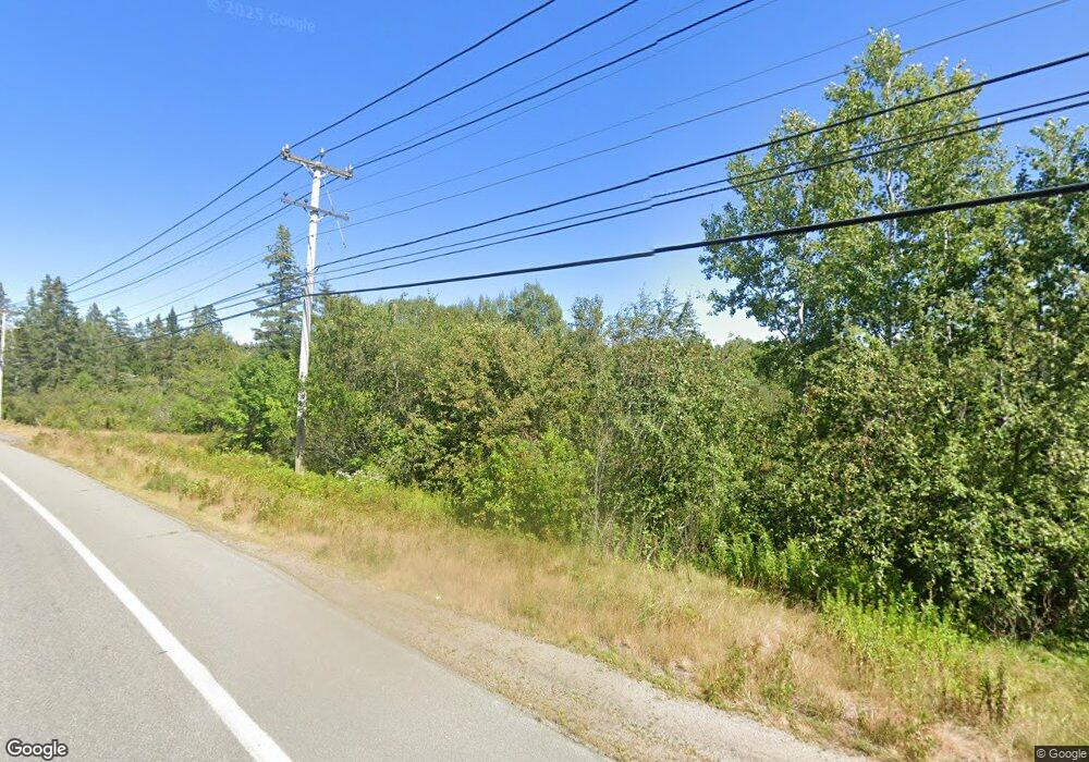
This home is located at 443 Us Route 1, Perry, ME 04667 and is currently estimated at $564,023, approximately $203 per square foot. 443 Us Route 1 is a home located in Washington County with nearby schools including Perry Elementary School.
Ownership History
Date
Name
Owned For
Owner Type
Purchase Details
Closed on
Jul 26, 2018
Sold by
Seger Frank R and Barbieri Esther T
Bought by
Magee-Hicks Hammond R and Hammond William B
Current Estimated Value
Home Financials for this Owner
Home Financials are based on the most recent Mortgage that was taken out on this home.
Original Mortgage
$138,000
Outstanding Balance
$83,002
Interest Rate
4%
Mortgage Type
New Conventional
Estimated Equity
$481,021
Create a Home Valuation Report for This Property
The Home Valuation Report is an in-depth analysis detailing your home's value as well as a comparison with similar homes in the area
Home Values in the Area
Average Home Value in this Area
Purchase History
| Date | Buyer | Sale Price | Title Company |
|---|---|---|---|
| Magee-Hicks Hammond R | -- | -- |
Source: Public Records
Mortgage History
| Date | Status | Borrower | Loan Amount |
|---|---|---|---|
| Open | Magee-Hicks Hammond R | $138,000 |
Source: Public Records
Tax History Compared to Growth
Tax History
| Year | Tax Paid | Tax Assessment Tax Assessment Total Assessment is a certain percentage of the fair market value that is determined by local assessors to be the total taxable value of land and additions on the property. | Land | Improvement |
|---|---|---|---|---|
| 2024 | $5,144 | $347,600 | $88,300 | $259,300 |
| 2023 | $5,562 | $347,600 | $88,300 | $259,300 |
| 2022 | $5,214 | $347,600 | $88,300 | $259,300 |
| 2021 | $5,214 | $347,600 | $88,300 | $259,300 |
| 2020 | $5,296 | $324,900 | $88,300 | $236,600 |
| 2019 | $5,303 | $321,400 | $88,300 | $233,100 |
| 2018 | $5,303 | $321,400 | $88,300 | $233,100 |
| 2017 | $5,506 | $323,900 | $90,800 | $233,100 |
| 2016 | $5,247 | $323,900 | $90,800 | $233,100 |
| 2015 | $5,247 | $323,900 | $90,800 | $233,100 |
| 2014 | $4,988 | $323,900 | $90,800 | $233,100 |
| 2013 | $4,178 | $323,900 | $90,800 | $233,100 |
Source: Public Records
Map
Nearby Homes
- 150 Leach Point Rd
- Lot 13 Red Rock Estates
- 149 Old Eastport Rd
- 1 Daggett Rd
- 448 Garnet Head Rd
- 3-1 Garnet Head Rd
- L1-1,2,3,4 Birch Point Rd
- 357 Shore Rd
- M10L1 U S Route 1
- X Bechard Ln
- 54 Old Toll Bridge Rd
- 25&26 Roy's Way
- 24 Roy's Way
- Lot 22 Off South Meadow & Roys Way Rd
- 2 Janney St
- 17 Indian Rd
- 0 Barton St
- 1 Deek St
- 346 Us Route 1
- 202 Ayers Junction Rd
- 443 U S 1
- 443 Us Route 1
- 440 Us Route 1
- 467 Us Route 1
- 0 Us Route 1 Unit 277234
- 0 Us Route 1 Unit 1416151
- 423 Us Route 1
- 501 Us Route 1
- 393 Us Route 1
- 183 Us Route 1
- 9 Thompson Store Rd
- 384 Us Route 1
- Lot 6 County Rd
- 7 Thompson Store Rd
- 392 Us Route 1
- 10 E Bay Ln
- 528 Us Route 1
- 380 Us Route 1
- 524 Us Route 1
- 524 U S Route 1
