4430 Embassy Dr Sykesville, MD 21784
Estimated Value: $632,000 - $1,074,000
--
Bed
3
Baths
2,363
Sq Ft
$341/Sq Ft
Est. Value
About This Home
This home is located at 4430 Embassy Dr, Sykesville, MD 21784 and is currently estimated at $805,451, approximately $340 per square foot. 4430 Embassy Dr is a home located in Carroll County with nearby schools including Winfield Elementary School, Sykesville Middle School, and Century High School.
Ownership History
Date
Name
Owned For
Owner Type
Purchase Details
Closed on
Jul 29, 2004
Sold by
Brooks Steven A
Bought by
Pieciak Richard and Pieciak Donna
Current Estimated Value
Purchase Details
Closed on
Nov 18, 1993
Sold by
Dorsey Developers Inc
Bought by
Brooks Steven A
Home Financials for this Owner
Home Financials are based on the most recent Mortgage that was taken out on this home.
Original Mortgage
$229,000
Interest Rate
6.77%
Purchase Details
Closed on
Dec 15, 1992
Sold by
Hull Richard L
Bought by
Dorsey Developers
Create a Home Valuation Report for This Property
The Home Valuation Report is an in-depth analysis detailing your home's value as well as a comparison with similar homes in the area
Home Values in the Area
Average Home Value in this Area
Purchase History
| Date | Buyer | Sale Price | Title Company |
|---|---|---|---|
| Pieciak Richard | $685,000 | -- | |
| Brooks Steven A | $254,445 | -- | |
| Dorsey Developers | $83,500 | -- |
Source: Public Records
Mortgage History
| Date | Status | Borrower | Loan Amount |
|---|---|---|---|
| Previous Owner | Brooks Steven A | $229,000 |
Source: Public Records
Tax History Compared to Growth
Tax History
| Year | Tax Paid | Tax Assessment Tax Assessment Total Assessment is a certain percentage of the fair market value that is determined by local assessors to be the total taxable value of land and additions on the property. | Land | Improvement |
|---|---|---|---|---|
| 2025 | $5,711 | $551,667 | $0 | $0 |
| 2024 | $5,711 | $504,600 | $210,200 | $294,400 |
| 2023 | $5,534 | $489,733 | $0 | $0 |
| 2022 | $5,366 | $474,867 | $0 | $0 |
| 2021 | $10,636 | $460,000 | $190,200 | $269,800 |
| 2020 | $5,100 | $450,033 | $0 | $0 |
| 2019 | $5,033 | $440,067 | $0 | $0 |
| 2018 | $4,876 | $430,100 | $180,200 | $249,900 |
| 2017 | $4,876 | $430,100 | $0 | $0 |
| 2016 | -- | $430,100 | $0 | $0 |
| 2015 | -- | $433,800 | $0 | $0 |
| 2014 | -- | $433,800 | $0 | $0 |
Source: Public Records
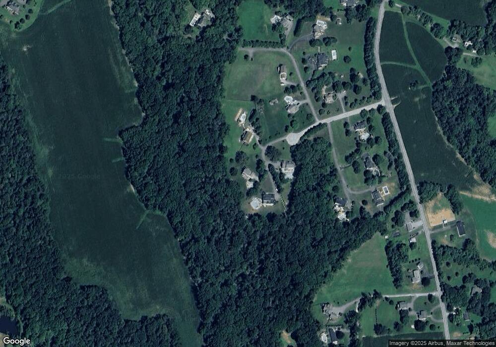
Map
Nearby Homes
- 4114 Old Washington Rd
- 0 Bear Branch Rd
- 970 Oak Tree Rd
- 832 Chanter Dr
- 601 Sherry Dr
- 1110 Algernon Dr
- 5530 Jim Pickett Rd
- 42 Liberty Rd
- 42 Liberty Rd Unit D
- 3526 Ellen Dr
- 112 E Nicodemus Rd
- 224 Old Liberty Rd
- 0 Klees Mill Rd
- HS1 Kenard Dr
- 610 Okemo Dr
- 4145 London Bridge Rd
- 1103 Cape Ct
- 5615 Bartholow Rd
- The Bristol Plan at Timber Glen
- The Madison Plan at Timber Glen
- 4440 Embassy Dr
- 4420 Embassy Dr
- 215 Potomac Ct
- 210 Potomac Ct
- 4460 Monument Dr
- 4380 Capital Dr
- 201 Potomac Ct
- 4455 Monument Dr
- 4465 Monument Dr
- 4395 Capital Dr
- 4375 Capital Dr
- LOT #1 Parcel 607 Old Washington Rd
- 4385 Capital Dr
- 4370 Capital Dr
- 4500 Old Washington Rd
- 4516 Old Washington Rd
- 4504 Old Washington Rd
- 4512 Old Washington Rd
- 4350 Old Washington Rd
- 4520 Old Washington Rd