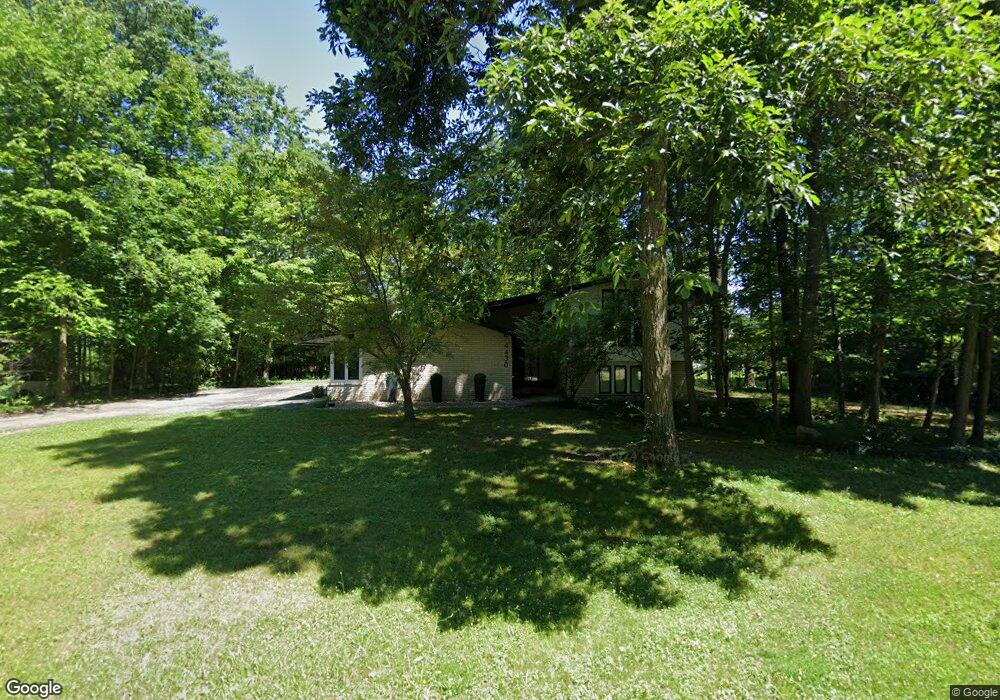
4430 Patrick Rd West Bloomfield, MI 48322
West Bloomfield Township NeighborhoodEstimated Value: $432,543 - $540,000
3
Beds
3
Baths
2,629
Sq Ft
$182/Sq Ft
Est. Value
About This Home
This home is located at 4430 Patrick Rd, West Bloomfield, MI 48322 and is currently estimated at $478,386, approximately $181 per square foot. 4430 Patrick Rd is a home located in Oakland County with nearby schools including Sheiko Elementary School, Brookfield Academy - West Bloomfield, and The Susan And Rabbi Harold Loss Ecc.
Ownership History
Date
Name
Owned For
Owner Type
Purchase Details
Closed on
May 27, 2010
Sold by
Milbauer Tracey Marie and Sharpe Tracey
Bought by
Mccann Laura and Mccann Peter
Current Estimated Value
Home Financials for this Owner
Home Financials are based on the most recent Mortgage that was taken out on this home.
Original Mortgage
$147,000
Interest Rate
4.74%
Mortgage Type
New Conventional
Purchase Details
Closed on
Jun 17, 2008
Sold by
Sharpe Tracey and Sharpe Kevin
Bought by
Sharpe Tracey
Purchase Details
Closed on
Aug 7, 2000
Sold by
Smith John A
Bought by
Sharpe Kevin
Home Financials for this Owner
Home Financials are based on the most recent Mortgage that was taken out on this home.
Original Mortgage
$195,000
Interest Rate
8.26%
Create a Home Valuation Report for This Property
The Home Valuation Report is an in-depth analysis detailing your home's value as well as a comparison with similar homes in the area
Home Values in the Area
Average Home Value in this Area
Purchase History
| Date | Buyer | Sale Price | Title Company |
|---|---|---|---|
| Mccann Laura | $207,000 | Devon Title Agency | |
| Sharpe Tracey | -- | None Available | |
| Sharpe Kevin | $250,000 | -- |
Source: Public Records
Mortgage History
| Date | Status | Borrower | Loan Amount |
|---|---|---|---|
| Previous Owner | Mccann Laura | $147,000 | |
| Previous Owner | Sharpe Kevin | $195,000 |
Source: Public Records
Tax History
| Year | Tax Paid | Tax Assessment Tax Assessment Total Assessment is a certain percentage of the fair market value that is determined by local assessors to be the total taxable value of land and additions on the property. | Land | Improvement |
|---|---|---|---|---|
| 2025 | $4,230 | $200,900 | $47,010 | $153,890 |
| 2024 | $2,636 | $186,430 | $0 | $0 |
| 2022 | $2,524 | $160,260 | $40,880 | $119,380 |
| 2021 | $3,835 | $141,590 | $0 | $0 |
| 2020 | $2,473 | $144,940 | $40,880 | $104,060 |
| 2018 | $3,698 | $135,550 | $40,320 | $95,230 |
| 2015 | -- | $107,320 | $0 | $0 |
| 2014 | -- | $96,340 | $0 | $0 |
| 2011 | -- | $101,040 | $0 | $0 |
Source: Public Records
Map
Nearby Homes
- 5865 Dunmore Ct
- 4623 Patrick Rd
- 5956 Pinecroft Dr
- 6076 Dunmore Dr
- 5731 Farmington Rd
- 4819 Thorntree Dr
- 4817 Faircourt Dr
- 4205 Pinehurst Dr
- 5634 Stratford Dr
- 6322 Pepper Hill St Unit 62
- 6298 Aspen Ridge Blvd Unit 34
- 6151 Orchard Lake Rd Unit 103
- 6323 Potomac Cir Unit 22
- 5585 Culpepper Dr
- 3865 Stonecrest Rd
- 5549 Perrytown Dr
- 5226 Brett Ct
- 6610 Fieldstone Ct
- 6622 Fieldstone Ct
- 6651 Hearthside Ct Unit 1
- 4460 Patrick Rd
- 4424 Patrick Rd
- 5962 Trotter Ln
- 5944 Trotter Ln
- 4429 Patrick Rd
- 4461 Patrick Rd Unit Bldg-Unit
- 4461 Patrick Rd
- 4490 Patrick Rd
- 4421 Patrick Rd
- 5926 Trotter Ln
- 4489 Patrick Rd
- 5963 Trotter Ln
- 4406 Patrick Rd
- 5857 Dunmore Ct
- 4411 Patrick Rd
- 5945 Trotter Ln
- 5873 Dunmore Ct
- 4520 Patrick Rd
- 6069 Pickwood Dr
- 5908 Trotter Ln
Your Personal Tour Guide
Ask me questions while you tour the home.