44320 NW Kemper Rd Forest Grove, OR 97116
Estimated Value: $606,665 - $888,000
3
Beds
2
Baths
1,940
Sq Ft
$385/Sq Ft
Est. Value
About This Home
This home is located at 44320 NW Kemper Rd, Forest Grove, OR 97116 and is currently estimated at $747,333, approximately $385 per square foot. 44320 NW Kemper Rd is a home located in Washington County with nearby schools including Dilley Elementary School, Tom McCall Upper Elementary School, and Neil Armstrong Middle School.
Ownership History
Date
Name
Owned For
Owner Type
Purchase Details
Closed on
Nov 13, 2000
Sold by
Burdett Janice M and Sargeant Janice M
Bought by
Parson Douglas L and Parson Dawn K
Current Estimated Value
Home Financials for this Owner
Home Financials are based on the most recent Mortgage that was taken out on this home.
Original Mortgage
$246,400
Outstanding Balance
$88,276
Interest Rate
7.86%
Estimated Equity
$659,057
Create a Home Valuation Report for This Property
The Home Valuation Report is an in-depth analysis detailing your home's value as well as a comparison with similar homes in the area
Home Values in the Area
Average Home Value in this Area
Purchase History
| Date | Buyer | Sale Price | Title Company |
|---|---|---|---|
| Parson Douglas L | $308,000 | Stewart Title |
Source: Public Records
Mortgage History
| Date | Status | Borrower | Loan Amount |
|---|---|---|---|
| Open | Parson Douglas L | $246,400 |
Source: Public Records
Tax History Compared to Growth
Tax History
| Year | Tax Paid | Tax Assessment Tax Assessment Total Assessment is a certain percentage of the fair market value that is determined by local assessors to be the total taxable value of land and additions on the property. | Land | Improvement |
|---|---|---|---|---|
| 2026 | $3,743 | $290,080 | -- | -- |
| 2025 | $3,743 | $281,640 | -- | -- |
| 2024 | $3,602 | $273,440 | -- | -- |
| 2023 | $3,602 | $265,480 | $0 | $0 |
| 2022 | $3,109 | $265,480 | $0 | $0 |
| 2021 | $3,088 | $250,250 | $0 | $0 |
| 2020 | $3,095 | $242,970 | $0 | $0 |
| 2019 | $3,017 | $235,900 | $0 | $0 |
| 2018 | $2,966 | $229,030 | $0 | $0 |
| 2017 | $2,887 | $222,360 | $0 | $0 |
| 2016 | $2,809 | $215,890 | $0 | $0 |
| 2015 | $2,622 | $209,610 | $0 | $0 |
| 2014 | $2,612 | $203,510 | $0 | $0 |
Source: Public Records
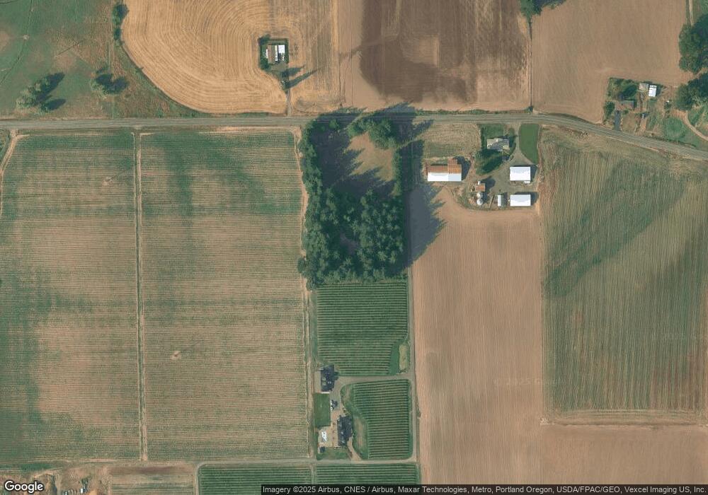
Map
Nearby Homes
- 45868 NW Hillside Rd
- 3934 Coho Cir
- 45585 NW David Hill Rd
- 0 David Hill Unit 20160858
- 1138 37th Ave
- 44725 NW David Hill Rd
- 3728 Huntsman Way
- 45157 NW David Hill Rd
- 0 Ns Unit 279696115
- 3651 Tiana St
- 2117 36th Ave Unit Lot 64
- 2133 36th Ave Unit Lot 62
- 2120 36th Ave
- 2150 36th Ave
- 2130 36th Ave
- 2160 36th Ave
- 3131 NW Highway 47
- 3327 Hillcrest Way
- 724 Glade Ave
- 2002 Aspen Ln
- 5755 SW Thatcher
- 5755 NW Thatcher Rd
- 0 NW Kemper Rd
- 5499 NW Thatcher Rd
- 5901 NW Thatcher Rd
- 5039 NW Thatcher Rd
- 45237 NW Buckley Rd
- 6341 NW Kansas City Rd
- 5807 NW Thatcher Rd
- 45260 NW Hillside Rd
- 44036 NW Breezy Ln
- 43195 NW Kemper Rd
- 6225 NW Kansas City Rd
- 45245 NW Wildberry Ln
- 45404 NW Buckley Rd
- 45495 NW Buckley Rd
- 6950 NW Kansas City Rd
- 45560 NW Buckley Rd
- 45488 NW Hillside Rd
- 45275 NW Wildberry Ln