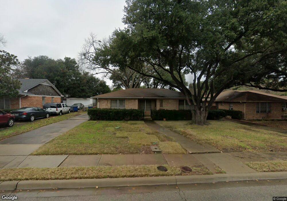
4433 Abrams Rd Dallas, TX 75214
Northeast Dallas NeighborhoodEstimated Value: $497,196 - $570,000
2
Beds
1
Bath
1,264
Sq Ft
$426/Sq Ft
Est. Value
About This Home
This home is located at 4433 Abrams Rd, Dallas, TX 75214 and is currently estimated at $538,549, approximately $426 per square foot. 4433 Abrams Rd is a home located in Dallas County with nearby schools including Mockingbird Elementary School, J L Long Middle School, and Woodrow Wilson High School.
Ownership History
Date
Name
Owned For
Owner Type
Purchase Details
Closed on
Apr 28, 2006
Sold by
Carlson Roy G
Bought by
Rodriguez Susana
Current Estimated Value
Home Financials for this Owner
Home Financials are based on the most recent Mortgage that was taken out on this home.
Original Mortgage
$99,000
Outstanding Balance
$57,074
Interest Rate
6.32%
Mortgage Type
Fannie Mae Freddie Mac
Estimated Equity
$481,475
Create a Home Valuation Report for This Property
The Home Valuation Report is an in-depth analysis detailing your home's value as well as a comparison with similar homes in the area
Home Values in the Area
Average Home Value in this Area
Purchase History
| Date | Buyer | Sale Price | Title Company |
|---|---|---|---|
| Rodriguez Susana | -- | Atc |
Source: Public Records
Mortgage History
| Date | Status | Borrower | Loan Amount |
|---|---|---|---|
| Open | Rodriguez Susana | $99,000 |
Source: Public Records
Tax History Compared to Growth
Tax History
| Year | Tax Paid | Tax Assessment Tax Assessment Total Assessment is a certain percentage of the fair market value that is determined by local assessors to be the total taxable value of land and additions on the property. | Land | Improvement |
|---|---|---|---|---|
| 2025 | $4,878 | $532,360 | $336,700 | $195,660 |
| 2024 | $4,878 | $374,000 | $224,000 | $150,000 |
| 2023 | $4,878 | $374,000 | $224,000 | $150,000 |
| 2022 | $4,997 | $330,160 | $0 | $0 |
| 2021 | $7,619 | $288,800 | $154,000 | $134,800 |
| 2020 | $7,137 | $263,080 | $154,000 | $109,080 |
| 2019 | $7,485 | $263,080 | $154,000 | $109,080 |
| 2018 | $7,154 | $263,080 | $154,000 | $109,080 |
| 2017 | $5,733 | $210,820 | $136,500 | $74,320 |
| 2016 | $5,362 | $197,200 | $122,500 | $74,700 |
| 2015 | $2,873 | $132,000 | $87,500 | $44,500 |
| 2014 | $2,873 | $132,000 | $87,500 | $44,500 |
Source: Public Records
Map
Nearby Homes
- 6446 Lange Cir
- 6314 Woodcrest Ln
- 6269 Saratoga Cir
- 6474 Sudbury Dr
- 6459 Trammel Dr
- 6231 Berwyn Ln
- 6537 Patrick Dr
- 6415 Axton Ln
- 6529 Saint Moritz Ave
- 6305 Annapolis Ln
- 6529 Trammel Dr
- 6171 Ravendale Ln
- 4323 Ashford Dr
- 6612 E Mockingbird Ln
- 6527 Axton Cir
- 6222 E University Blvd
- 6720 Braeburn Dr
- 6126 Sudbury Dr
- 6342 Anita St
- 6711 Vada Dr