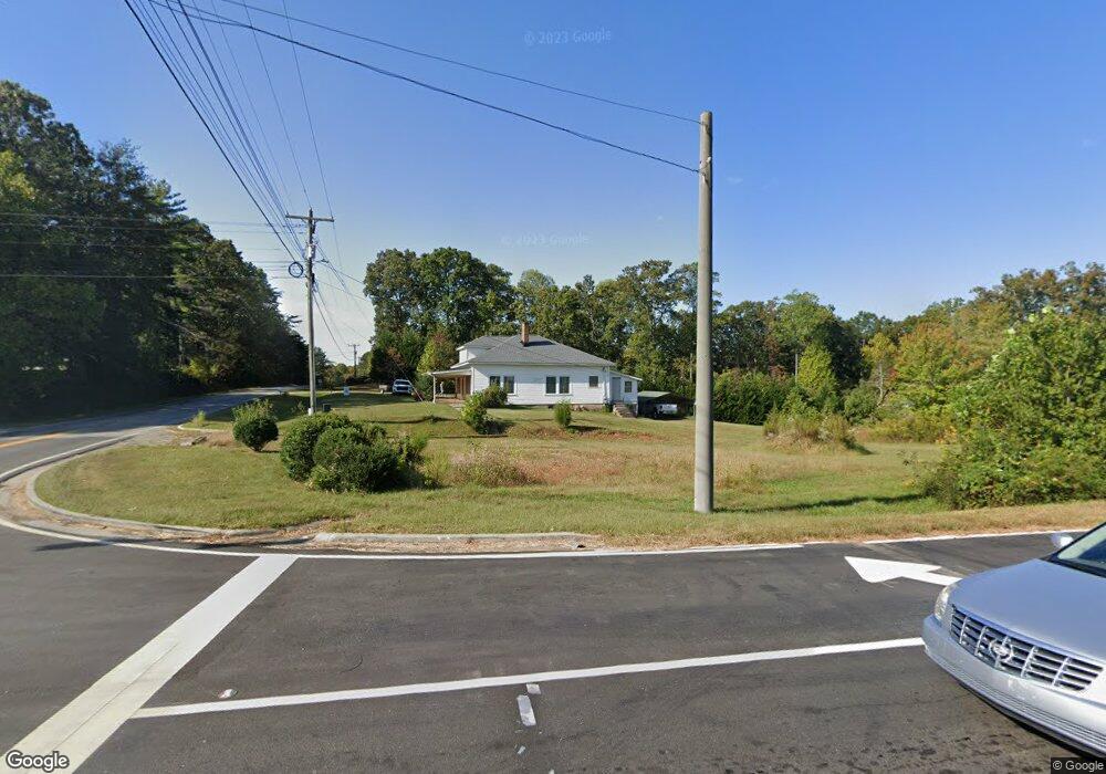
4433 Duncan Bridge Rd Cornelia, GA 30531
Estimated Value: $452,195
--
Bed
--
Bath
744
Sq Ft
$608/Sq Ft
Est. Value
About This Home
This home is located at 4433 Duncan Bridge Rd, Cornelia, GA 30531 and is currently estimated at $452,195, approximately $607 per square foot. 4433 Duncan Bridge Rd is a home located in Habersham County with nearby schools including Level Grove Elementary School, South Habersham Middle School, and Habersham Success Academy.
Ownership History
Date
Name
Owned For
Owner Type
Purchase Details
Closed on
Oct 20, 2023
Sold by
Ck Homes Inc
Bought by
Compton Keith R
Current Estimated Value
Purchase Details
Closed on
Jun 24, 2009
Sold by
Compton Keith R
Bought by
C K Homes Inc
Create a Home Valuation Report for This Property
The Home Valuation Report is an in-depth analysis detailing your home's value as well as a comparison with similar homes in the area
Home Values in the Area
Average Home Value in this Area
Purchase History
| Date | Buyer | Sale Price | Title Company |
|---|---|---|---|
| Compton Keith R | -- | -- | |
| C K Homes Inc | -- | -- | |
| Compton Keith R | $166,000 | -- |
Source: Public Records
Tax History Compared to Growth
Tax History
| Year | Tax Paid | Tax Assessment Tax Assessment Total Assessment is a certain percentage of the fair market value that is determined by local assessors to be the total taxable value of land and additions on the property. | Land | Improvement |
|---|---|---|---|---|
| 2025 | $270 | $11,165 | $10,640 | $525 |
| 2024 | $280 | $10,788 | $10,724 | $64 |
| 2023 | $321 | $12,852 | $8,252 | $4,600 |
| 2022 | $315 | $12,088 | $8,252 | $3,836 |
| 2021 | $305 | $11,764 | $8,252 | $3,512 |
| 2020 | $302 | $11,224 | $8,252 | $2,972 |
| 2019 | $302 | $11,224 | $8,252 | $2,972 |
| 2018 | $300 | $11,224 | $8,252 | $2,972 |
| 2017 | $0 | $10,844 | $8,252 | $2,592 |
| 2016 | $283 | $27,110 | $8,252 | $2,592 |
| 2015 | $279 | $27,110 | $8,252 | $2,592 |
| 2014 | $285 | $27,110 | $8,252 | $2,592 |
| 2013 | -- | $10,844 | $8,252 | $2,592 |
Source: Public Records
Map
Nearby Homes
- 240 Woodmont Dr
- 450 Beachwood Dr
- 434 Beachwood Dr
- 255 Laurel Place Dr
- 335 Laurel Place Dr
- 0 Hubert Harris
- 212 Fernbank Dr
- 429 Hubert Harris Rd
- 1307 Creasy Patch Rd
- 324 Highland Pointe Dr
- 752 Dawn Place
- 0 State Route 365 Unit 10496178
- 0 State Route 365 Unit 10496183
- 140 Highland Pointe Dr
- 1246 Duncan Bridge Rd
- J Warren
- 190 Sunset Oaks Dr
- 179 Sunset Oaks Dr
- 1.73 ACRES TR3 Garrison Rd
- 1.18 ACRES Garrison Rd
- 2975 Duncan Bridge Rd
- 4415 Mud Creek Rd
- 4433 Mud Creek Rd
- 4221 Level Grove Rd
- 141 Woodmont Dr
- 51 Woodmont Dr
- 49 Woodmont Dr
- 47 Woodmont Dr
- 17 Woodmont Dr
- 15 Woodmont Dr
- 9 Woodmont Dr
- 7 Woodmont Dr
- 5 Woodmont Dr
- 3 Woodmont Dr
- 45 Woodmont Dr
- 211 Woodmont Dr
- 2755 Duncan Bridge Rd
- 4181 Level Grove Rd
- 4300 Mud Creek Rd
- 4133 Level Grove Rd