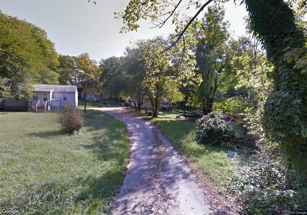
4433 Foerster Rd Halethorpe, MD 21227
Estimated Value: $346,000 - $366,613
Studio
1
Bath
1,296
Sq Ft
$274/Sq Ft
Est. Value
About This Home
This home is located at 4433 Foerster Rd, Halethorpe, MD 21227 and is currently estimated at $355,403, approximately $274 per square foot. 4433 Foerster Rd is a home located in Baltimore County with nearby schools including Baltimore Highlands Elementary School, Lansdowne Middle School, and Lansdowne High School.
Ownership History
Date
Name
Owned For
Owner Type
Purchase Details
Closed on
Mar 14, 2012
Sold by
Harold Richard Lee
Bought by
Wolf Deborah Lynn and Wolf Kenneth L
Current Estimated Value
Purchase Details
Closed on
May 15, 2008
Sold by
Harold Herman G
Bought by
Harold Dorothy V
Purchase Details
Closed on
May 9, 2008
Sold by
Harold Herman G
Bought by
Harold Dorothy V
Create a Home Valuation Report for This Property
The Home Valuation Report is an in-depth analysis detailing your home's value as well as a comparison with similar homes in the area
Home Values in the Area
Average Home Value in this Area
Purchase History
| Date | Buyer | Sale Price | Title Company |
|---|---|---|---|
| Wolf Deborah Lynn | -- | Church Circle Title & Escrow | |
| Harold Dorothy V | -- | -- | |
| Harold Dorothy V | -- | -- |
Source: Public Records
Tax History
| Year | Tax Paid | Tax Assessment Tax Assessment Total Assessment is a certain percentage of the fair market value that is determined by local assessors to be the total taxable value of land and additions on the property. | Land | Improvement |
|---|---|---|---|---|
| 2025 | $4,668 | $271,633 | -- | -- |
| 2024 | $4,668 | $250,700 | $72,200 | $178,500 |
| 2023 | $2,289 | $247,533 | $0 | $0 |
| 2022 | $4,417 | $244,367 | $0 | $0 |
| 2021 | $4,317 | $241,200 | $72,200 | $169,000 |
| 2020 | $4,307 | $218,500 | $0 | $0 |
| 2019 | $2,373 | $195,800 | $0 | $0 |
| 2018 | $3,500 | $173,100 | $72,200 | $100,900 |
| 2017 | $3,323 | $168,567 | $0 | $0 |
| 2016 | $3,033 | $164,033 | $0 | $0 |
| 2015 | $3,033 | $159,500 | $0 | $0 |
| 2014 | $3,033 | $159,500 | $0 | $0 |
Source: Public Records
Map
Nearby Homes
- 4438 Scotia Rd
- 4435 Scotia Rd
- 2773 Yarnall Rd
- 4415 Norfen Rd
- 4157 Hollins Ferry Rd
- 4427 Annapolis Rd
- 4323 Annapolis Rd
- 801 Seckel Ct
- 2812 Florida Ave
- 2911 Vermont Ave
- 2902 Michigan Ave
- 2828 Alabama Ave
- 404 Carl Ave
- 4206 Baltimore St
- 302 4th Ave
- 401 2nd Ave
- 2 Mansion Rd
- 418 1st Ave
- 2909 Louisiana Ave
- 308 Hoffman Ave
- 4429 Foerster Rd
- 4427 Foerster Rd
- 4425 Foerster Rd
- 4422 Walnut Rd
- 4428 Walnut Rd
- 4424 Walnut Rd
- 4420 Walnut Rd
- 4419 Foerster Rd
- 4431 Walnut Rd
- 4433 Walnut Rd
- 4418 Walnut Rd Unit A
- 4418 Walnut Rd
- 4418A Walnut Rd
- 4416 Walnut Rd
- 4402 Foerster Rd
- 4462 Scotia Rd
- 4415 Walnut Rd
- 4414 Walnut Rd
- 4413 Foerster Rd
- 4429 Walnut Rd
Your Personal Tour Guide
Ask me questions while you tour the home.