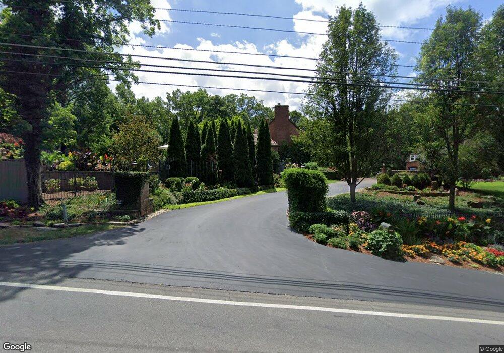
4433 Smothers Rd Westerville, OH 43081
Estimated Value: $932,000 - $1,680,189
4
Beds
4
Baths
3,259
Sq Ft
$380/Sq Ft
Est. Value
About This Home
This home is located at 4433 Smothers Rd, Westerville, OH 43081 and is currently estimated at $1,237,297, approximately $379 per square foot. 4433 Smothers Rd is a home located in Franklin County with nearby schools including Mark Twain Elementary School, Walnut Springs Middle School, and Westerville-North High School.
Ownership History
Date
Name
Owned For
Owner Type
Purchase Details
Closed on
Dec 20, 2015
Sold by
Flaherty Stewart L and Flaherty Marcia K
Bought by
Stewart L And Marcia Flaherty Trust
Current Estimated Value
Purchase Details
Closed on
Aug 6, 2004
Sold by
Blackburn John A and Blackburn Margot G
Bought by
Flaherty Stewart L and Flaherty Marcia K
Home Financials for this Owner
Home Financials are based on the most recent Mortgage that was taken out on this home.
Original Mortgage
$372,000
Interest Rate
4.87%
Mortgage Type
Purchase Money Mortgage
Purchase Details
Closed on
Dec 28, 1993
Bought by
Blackburn John A
Purchase Details
Closed on
Dec 13, 1993
Create a Home Valuation Report for This Property
The Home Valuation Report is an in-depth analysis detailing your home's value as well as a comparison with similar homes in the area
Home Values in the Area
Average Home Value in this Area
Purchase History
| Date | Buyer | Sale Price | Title Company |
|---|---|---|---|
| Stewart L And Marcia Flaherty Trust | -- | Attorney | |
| Flaherty Stewart L | $465,000 | Principle T | |
| Blackburn John A | $260,000 | -- | |
| -- | -- | -- |
Source: Public Records
Mortgage History
| Date | Status | Borrower | Loan Amount |
|---|---|---|---|
| Previous Owner | Flaherty Stewart L | $372,000 |
Source: Public Records
Tax History Compared to Growth
Tax History
| Year | Tax Paid | Tax Assessment Tax Assessment Total Assessment is a certain percentage of the fair market value that is determined by local assessors to be the total taxable value of land and additions on the property. | Land | Improvement |
|---|---|---|---|---|
| 2024 | $27,836 | $460,500 | $73,820 | $386,680 |
| 2023 | $27,278 | $460,495 | $73,815 | $386,680 |
| 2022 | $29,858 | $378,010 | $43,580 | $334,430 |
| 2021 | $30,061 | $378,010 | $43,580 | $334,430 |
| 2020 | $28,531 | $359,460 | $43,580 | $315,880 |
| 2019 | $26,446 | $306,750 | $43,580 | $263,170 |
| 2018 | $25,051 | $306,750 | $43,580 | $263,170 |
| 2017 | $25,760 | $306,750 | $43,580 | $263,170 |
| 2016 | $26,066 | $285,530 | $42,210 | $243,320 |
| 2015 | $24,698 | $285,530 | $42,210 | $243,320 |
| 2014 | $24,701 | $285,530 | $42,210 | $243,320 |
| 2013 | $12,017 | $285,530 | $42,210 | $243,320 |
Source: Public Records
Map
Nearby Homes
- 4485 Smothers Rd
- 9119 Robinhood Cir
- 6699 Cold Mountain Dr
- 6643 Cold Mountain Dr
- 4930 E Walnut St
- 6643 Bowery Peak Ln
- 6999 Red Bank Rd
- 6590 Bowery Peak Ln
- 4948 E Walnut St
- 1155 Ashford Ct
- 73 Keethler Dr S
- 5360 Smothers Rd
- 1182 Lake Point
- 6452 Rockhold Dr
- 5132 E Walnut St
- 6477 Drasco Dr
- 1201 Wallean Dr
- 6611 Lake of the Woods Point
- 5143 E Walnut St
- 90 Spring Creek Dr
- 4411 Smothers Rd
- 4473 Smothers Rd
- 7970 Silver Lake Ct
- 4425 Smothers Rd
- 7924 Silver Lake Ct
- 7969 Silver Lake Ct
- 4349 Smothers Rd
- 7925 Silver Lake Ct
- 4517 Smothers Rd
- 7895 Silver Lake Ct
- 4325 Smothers Rd
- 7874 Silver Lake Ct
- 7869 Silver Lake Ct
- 4555 Smothers Rd
- 7828 Silver Lake Ct
- 4313 Smothers Rd
- 8358 Manitou Dr
- 0 Silver Lake Ct Unit 10 9800810
- 0 Silver Lake Ct Unit 1 9800808
- 0 Silver Lake Ct Unit 9800807