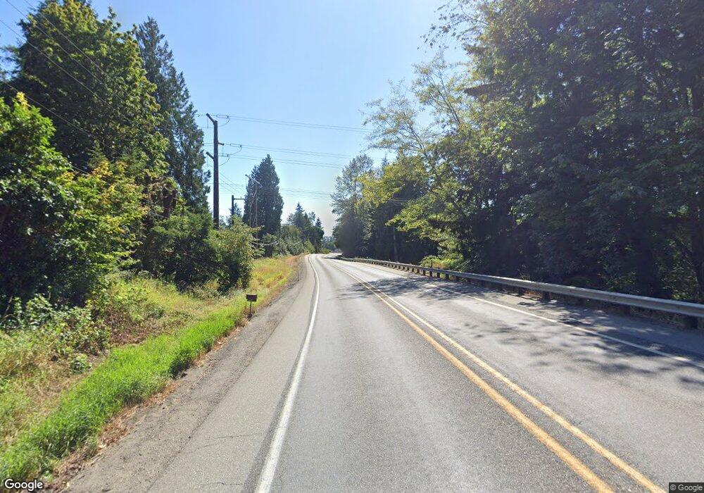
4433 State Route 530 NE Arlington, WA 98223
Estimated Value: $459,000 - $598,000
2
Beds
1
Bath
1,232
Sq Ft
$405/Sq Ft
Est. Value
About This Home
This home is located at 4433 State Route 530 NE, Arlington, WA 98223 and is currently estimated at $499,515, approximately $405 per square foot. 4433 State Route 530 NE is a home located in Snohomish County with nearby schools including Presidents Elementary School, Haller Middle School, and Arlington High School.
Ownership History
Date
Name
Owned For
Owner Type
Purchase Details
Closed on
Dec 1, 2006
Sold by
Bishop Michael T and Bishop Helga T
Bought by
Reese Michael Todd
Current Estimated Value
Home Financials for this Owner
Home Financials are based on the most recent Mortgage that was taken out on this home.
Original Mortgage
$180,000
Outstanding Balance
$107,976
Interest Rate
6.37%
Mortgage Type
Purchase Money Mortgage
Estimated Equity
$391,539
Purchase Details
Closed on
Jun 14, 1996
Sold by
Harvey Robert A
Bought by
Ford Consumer Finance Company Inc
Home Financials for this Owner
Home Financials are based on the most recent Mortgage that was taken out on this home.
Original Mortgage
$16,320
Interest Rate
8.01%
Mortgage Type
Seller Take Back
Create a Home Valuation Report for This Property
The Home Valuation Report is an in-depth analysis detailing your home's value as well as a comparison with similar homes in the area
Home Values in the Area
Average Home Value in this Area
Purchase History
| Date | Buyer | Sale Price | Title Company |
|---|---|---|---|
| Reese Michael Todd | $225,280 | Stewart Title | |
| Ford Consumer Finance Company Inc | $42,547 | Fidelity National Title |
Source: Public Records
Mortgage History
| Date | Status | Borrower | Loan Amount |
|---|---|---|---|
| Open | Reese Michael Todd | $180,000 | |
| Previous Owner | Ford Consumer Finance Company Inc | $16,320 |
Source: Public Records
Tax History Compared to Growth
Tax History
| Year | Tax Paid | Tax Assessment Tax Assessment Total Assessment is a certain percentage of the fair market value that is determined by local assessors to be the total taxable value of land and additions on the property. | Land | Improvement |
|---|---|---|---|---|
| 2025 | $1,780 | $263,500 | $189,000 | $74,500 |
| 2024 | $1,780 | $205,000 | $134,100 | $70,900 |
| 2023 | $1,995 | $244,300 | $134,100 | $110,200 |
| 2022 | $1,948 | $192,200 | $99,800 | $92,400 |
| 2020 | $1,653 | $148,700 | $76,000 | $72,700 |
| 2019 | $1,616 | $147,100 | $76,000 | $71,100 |
| 2018 | $1,700 | $134,100 | $66,300 | $67,800 |
| 2017 | $1,694 | $136,000 | $70,000 | $66,000 |
| 2016 | $1,821 | $137,400 | $64,900 | $72,500 |
| 2015 | $1,919 | $139,400 | $70,300 | $69,100 |
| 2013 | $1,898 | $128,200 | $61,800 | $66,400 |
Source: Public Records
Map
Nearby Homes
- 20217 45th Dr NE
- 4502 200th St NE
- 20102 33rd Ave NE
- 19308 45th Dr NE
- 19605 Smokey Point Blvd
- 4609 190th St NE
- 19920 67th Ave NE Unit 40
- 5222 233rd Place NE
- 2517 197th St NE
- 3219 186th Place NE
- 19023 23rd Ave NE
- 6206 188th St NE Unit 63
- 3417 182nd St NE Unit B
- 3329 182nd St NE Unit 2B
- 3125 183rd Place NE
- 317 S Olympic Ave
- 0 77th Ave NE
- 7805 Jensen Farm Ln Unit G3
- 17820 43rd Ave NE
- 318 S French Ave
- 4503 State Route 530 NE
- 4307 State Route 530 NE
- 21109 44th Dr NE Unit Lot15
- 21108 44th Dr NE
- 21016 44th Dr NE Unit Lot 3
- 21016 44th Dr NE Unit 2&3
- 21017 44th Dr NE Unit 13-15
- 21017 44th Dr NE Unit Lot13
- 21004 44th Dr NE
- 20920 44th Dr NE Unit Lot 5
- 20828 44th Dr NE Unit Lot 6
- 21025 44th Dr NE Unit Lot14
- 21112 44th Dr NE
- 21629 42nd Dr NE
- 21625 42nd Dr NE
- 21621 42nd Dr NE
- 21716 42nd Dr NE
- 21709 42nd Dr NE
- 21720 42nd Dr NE
- 21811 42nd Dr NE
