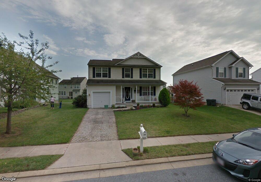
4433 Todd Point Ln Sparrows Point, MD 21219
Estimated Value: $390,000 - $483,000
Studio
3
Baths
1,716
Sq Ft
$254/Sq Ft
Est. Value
About This Home
This home is located at 4433 Todd Point Ln, Sparrows Point, MD 21219 and is currently estimated at $436,039, approximately $254 per square foot. 4433 Todd Point Ln is a home located in Baltimore County with nearby schools including Edgemere Elementary School, Sparrows Point Middle School, and Sparrows Point High School.
Ownership History
Date
Name
Owned For
Owner Type
Purchase Details
Closed on
Feb 27, 2001
Sold by
Bwe Development Company Llc
Bought by
Hurst Deborah A
Current Estimated Value
Purchase Details
Closed on
Nov 20, 2000
Sold by
Beachwood Estates L L C
Bought by
Bwe Development Company Llc
Create a Home Valuation Report for This Property
The Home Valuation Report is an in-depth analysis detailing your home's value as well as a comparison with similar homes in the area
Home Values in the Area
Average Home Value in this Area
Purchase History
| Date | Buyer | Sale Price | Title Company |
|---|---|---|---|
| Hurst Deborah A | $180,330 | -- | |
| Bwe Development Company Llc | $100,000 | -- |
Source: Public Records
Tax History
| Year | Tax Paid | Tax Assessment Tax Assessment Total Assessment is a certain percentage of the fair market value that is determined by local assessors to be the total taxable value of land and additions on the property. | Land | Improvement |
|---|---|---|---|---|
| 2025 | $4,883 | $346,333 | -- | -- |
| 2024 | $4,883 | $322,967 | $0 | $0 |
| 2023 | $2,424 | $299,600 | $101,100 | $198,500 |
| 2022 | $4,798 | $295,667 | $0 | $0 |
| 2021 | $4,524 | $291,733 | $0 | $0 |
| 2020 | $4,524 | $287,800 | $101,100 | $186,700 |
| 2019 | $4,424 | $285,367 | $0 | $0 |
| 2018 | $4,690 | $282,933 | $0 | $0 |
| 2017 | $4,190 | $280,500 | $0 | $0 |
| 2016 | $3,473 | $274,367 | $0 | $0 |
| 2015 | $3,473 | $268,233 | $0 | $0 |
| 2014 | $3,473 | $262,100 | $0 | $0 |
Source: Public Records
Map
Nearby Homes
- 4327 Shore Rd
- 9102 Wise Avenue Extension
- 6 Reef Ct
- 1813 John Stricker Ave
- 1804 John Stricker Ave
- 6931 River Drive Rd
- 1824 John Stricker Ave
- 1826 John Stricker Ave
- 1840 John Stricker Ave
- 1842 John Stricker Ave
- 6508 N Point Rd
- 1805 Constellation Dr
- 1809 Constellation Dr
- 1811 Constellation Dr
- 6913 River Drive Rd
- 1800 Constellation Dr
- 1802 Constellation Dr
- 0 Beechwood Ave Unit MDBC2121872
- 8626 Wise Ave
- 3207 Whiteway Rd
- 4435 Todd Point Ln
- 4431 Todd Point Ln
- 4504 Greencove Cir
- 4437 Todd Point Ln
- 4502 Greencove Cir
- 4429 Todd Point Ln
- 4506 Greencove Cir
- 4500 Greencove Cir
- 4439 Todd Point Ln
- 4508 Greencove Cir
- 4428 Todd Point Ln
- 4426 Todd Point Ln
- 4510 Greencove Cir
- 4425 Todd Point Ln
- 4503 Greencove Cir
- 4424 Todd Point Ln
- 4424 Greencove Cir
- 4505 Greencove Cir
- 4420 Greencove Cir
- 4501 Greencove Cir
Your Personal Tour Guide
Ask me questions while you tour the home.