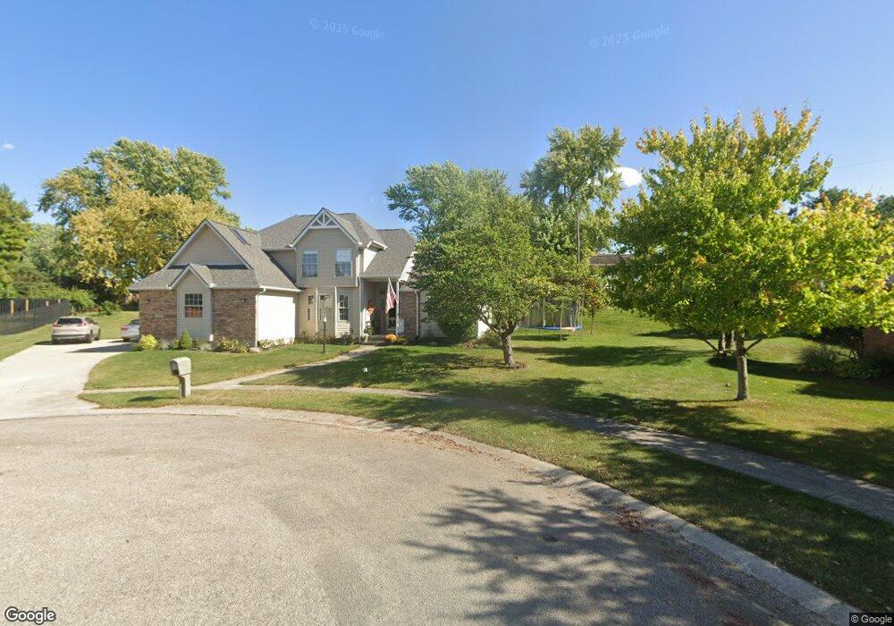
4434 Arbor Ln Springfield, OH 45503
Estimated Value: $326,000 - $416,000
4
Beds
3
Baths
2,331
Sq Ft
$157/Sq Ft
Est. Value
About This Home
This home is located at 4434 Arbor Ln, Springfield, OH 45503 and is currently estimated at $366,361, approximately $157 per square foot. 4434 Arbor Ln is a home located in Clark County with nearby schools including Northridge Elementary School, Kenton Ridge Middle & High School, and Emmanuel Christian Academy.
Ownership History
Date
Name
Owned For
Owner Type
Purchase Details
Closed on
Oct 21, 2015
Sold by
Fannie Mae
Bought by
Hellwig Troy and Hellwig Heather
Current Estimated Value
Home Financials for this Owner
Home Financials are based on the most recent Mortgage that was taken out on this home.
Original Mortgage
$180,840
Outstanding Balance
$141,254
Interest Rate
3.91%
Mortgage Type
New Conventional
Estimated Equity
$225,107
Purchase Details
Closed on
Dec 5, 2014
Sold by
Wells John R and Everbank
Bought by
Fannie Mae and Federal National Mortgage Association
Purchase Details
Closed on
Dec 8, 1993
Create a Home Valuation Report for This Property
The Home Valuation Report is an in-depth analysis detailing your home's value as well as a comparison with similar homes in the area
Home Values in the Area
Average Home Value in this Area
Purchase History
| Date | Buyer | Sale Price | Title Company |
|---|---|---|---|
| Hellwig Troy | $176,000 | Sojurners Title Agency Llc | |
| Fannie Mae | $130,000 | Attorney | |
| -- | $20,000 | -- |
Source: Public Records
Mortgage History
| Date | Status | Borrower | Loan Amount |
|---|---|---|---|
| Open | Hellwig Troy | $180,840 |
Source: Public Records
Tax History
| Year | Tax Paid | Tax Assessment Tax Assessment Total Assessment is a certain percentage of the fair market value that is determined by local assessors to be the total taxable value of land and additions on the property. | Land | Improvement |
|---|---|---|---|---|
| 2025 | $4,248 | $116,870 | $25,270 | $91,600 |
| 2024 | $4,108 | $97,140 | $21,700 | $75,440 |
| 2023 | $4,108 | $97,140 | $21,700 | $75,440 |
| 2022 | $4,123 | $97,140 | $21,700 | $75,440 |
| 2021 | $4,168 | $83,230 | $17,360 | $65,870 |
| 2020 | $4,172 | $83,230 | $17,360 | $65,870 |
| 2019 | $4,251 | $83,230 | $17,360 | $65,870 |
| 2018 | $3,297 | $61,960 | $14,320 | $47,640 |
| 2017 | $2,826 | $62,031 | $14,319 | $47,712 |
| 2016 | $2,806 | $62,031 | $14,319 | $47,712 |
| 2015 | $2,720 | $61,348 | $13,636 | $47,712 |
| 2014 | $2,308 | $61,348 | $13,636 | $47,712 |
| 2013 | $2,254 | $61,348 | $13,636 | $47,712 |
Source: Public Records
Map
Nearby Homes
- 4446 Ridgewood Rd E Unit 3
- 4577 Reno Ln Unit 2
- 4652 Reno Ln Unit 15
- 4322 Midfield St Unit 15
- 4256 Midfield St Unit 9
- 1341 Student Ave
- 4732 Lehigh Dr
- 1644 Delmar Dr
- 1415 Montego Dr
- 4802 Willowbrook Dr
- 4890 Brannan Dr W Unit 4890
- 1052 Cheyenne Ave Unit 1052
- 4741 Cullen Ave
- 3972 Covington Dr Unit 3972
- 4733 Curtis Dr
- 4028 Ryland Dr Unit 4028
- 1521 Erika Dr
- 4500 Bosart Rd
- 1500 Kingsgate Rd Unit 19430
- 1502 Kingsgate Rd Unit 19432
Your Personal Tour Guide
Ask me questions while you tour the home.