4434 Walker Rd Rock Hill, SC 29730
Estimated Value: $266,583 - $394,000
Studio
--
Bath
1,624
Sq Ft
$210/Sq Ft
Est. Value
About This Home
This home is located at 4434 Walker Rd, Rock Hill, SC 29730 and is currently estimated at $340,396, approximately $209 per square foot. 4434 Walker Rd is a home located in York County with nearby schools including Lesslie Elementary School, Castle Heights Middle School, and Rock Hill High School.
Ownership History
Date
Name
Owned For
Owner Type
Purchase Details
Closed on
Feb 10, 2025
Sold by
Jackson Crystal Ann Cornish and Jackson Nicholas Robert
Bought by
Nicholas Crystal Ann and Nicholas Robert
Current Estimated Value
Home Financials for this Owner
Home Financials are based on the most recent Mortgage that was taken out on this home.
Original Mortgage
$305,250
Outstanding Balance
$302,119
Interest Rate
6.95%
Mortgage Type
FHA
Estimated Equity
$38,277
Purchase Details
Closed on
Apr 12, 2024
Sold by
Jackson Crystal Ann Cornish
Bought by
Moses Nicholas Robert
Purchase Details
Closed on
Oct 25, 2010
Sold by
Cornish Mccrorey Makala Michele
Bought by
Jackson Crystal Ann Cornish
Create a Home Valuation Report for This Property
The Home Valuation Report is an in-depth analysis detailing your home's value as well as a comparison with similar homes in the area
Home Values in the Area
Average Home Value in this Area
Purchase History
| Date | Buyer | Sale Price | Title Company |
|---|---|---|---|
| Nicholas Crystal Ann | -- | None Listed On Document | |
| Nicholas Crystal Ann | -- | None Listed On Document | |
| Moses Nicholas Robert | -- | None Listed On Document | |
| Jackson Crystal Ann Cornish | -- | -- |
Source: Public Records
Mortgage History
| Date | Status | Borrower | Loan Amount |
|---|---|---|---|
| Open | Nicholas Crystal Ann | $305,250 | |
| Closed | Nicholas Crystal Ann | $305,250 |
Source: Public Records
Tax History
| Year | Tax Paid | Tax Assessment Tax Assessment Total Assessment is a certain percentage of the fair market value that is determined by local assessors to be the total taxable value of land and additions on the property. | Land | Improvement |
|---|---|---|---|---|
| 2025 | $617 | $4,501 | $655 | $3,846 |
| 2024 | $552 | $3,915 | $256 | $3,659 |
| 2023 | $566 | $3,915 | $256 | $3,659 |
| 2022 | $568 | $3,915 | $256 | $3,659 |
| 2021 | -- | $3,915 | $256 | $3,659 |
| 2020 | $566 | $3,915 | $0 | $0 |
| 2019 | $516 | $3,406 | $0 | $0 |
| 2018 | $512 | $3,406 | $0 | $0 |
| 2017 | $483 | $3,406 | $0 | $0 |
| 2016 | $468 | $3,406 | $0 | $0 |
| 2014 | $1,657 | $3,406 | $486 | $2,920 |
| 2013 | $1,657 | $3,726 | $486 | $3,240 |
Source: Public Records
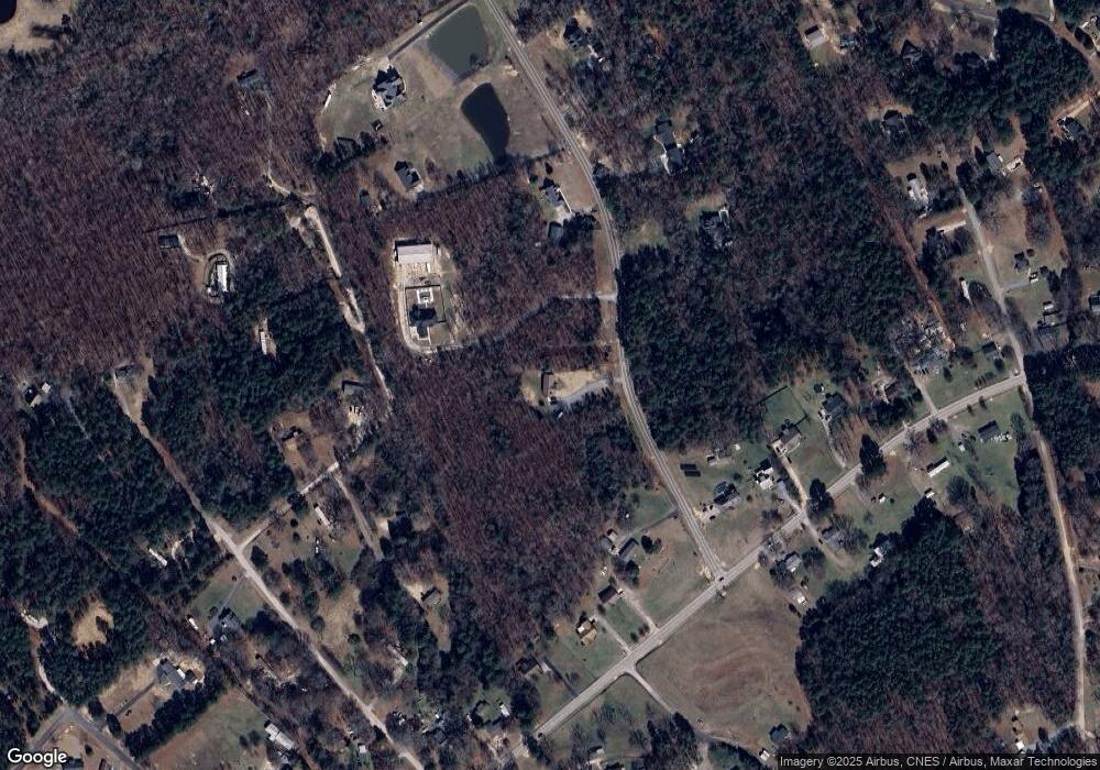
Map
Nearby Homes
- 3790 Rogers Cir
- 4193 Walker Rd
- Lot 3943 Walker Road Unlimited Potential
- 3943 Walker Rd
- 1359 Glasscock Rd Unit 1
- 0000 Tract #1A Roddey Rd
- 3886 Lesslie Hwy
- 4350 Cureton Ferry Rd
- 211 Ole Simpson Place
- 1745 George Dunn Rd
- 1907 Manning Place
- 508 Bridgestone Ln
- 3367 Lesslie Hwy
- 3349 Lesslie Hwy Unit 3
- 3339 Lesslie Hwy Unit 2
- 172 Neely Store Rd
- 555 Deanne Dr
- 104 Emily Crest Ln
- 725 Lynville Ln
- 127 Emily Crest Ln
- 4344 Walker Rd
- 4326 Walker Rd
- 685 Old Friendship Rd
- 4376 Walker Rd
- 4373 Walker Rd
- 673 Old Friendship Rd
- 725 Old Friendship Rd
- 739 Old Friendship Rd
- 663 Old Friendship Rd
- 315 Ashley Woods Dr
- 325 Ashley Woods Dr
- 4290 Walker Rd
- 1755 Knotty Branch Trail
- 4311 Walker Rd
- 643 Old Friendship Rd
- 712 Old Friendship Rd
- 740 Old Friendship Rd
- 753 Old Friendship Rd
- 720 Old Friendship Rd
- 1729 Knotty Branch Trail
Your Personal Tour Guide
Ask me questions while you tour the home.