44357 Paw Paw Rd Paw Paw, MI 49079
Estimated Value: $197,000 - $292,000
3
Beds
2
Baths
1,456
Sq Ft
$165/Sq Ft
Est. Value
About This Home
This home is located at 44357 Paw Paw Rd, Paw Paw, MI 49079 and is currently estimated at $240,463, approximately $165 per square foot. 44357 Paw Paw Rd is a home located in Van Buren County with nearby schools including Paw Paw Early Elementary School, Paw Paw Later Elementary School, and Paw Paw Middle School.
Ownership History
Date
Name
Owned For
Owner Type
Purchase Details
Closed on
Mar 12, 2015
Sold by
Living Trust Of Donald W Warner Sr & Ber
Bought by
Wycuff Dennis A and Wycuff Amy
Current Estimated Value
Home Financials for this Owner
Home Financials are based on the most recent Mortgage that was taken out on this home.
Original Mortgage
$68,000
Outstanding Balance
$52,406
Interest Rate
3.85%
Mortgage Type
New Conventional
Estimated Equity
$188,057
Purchase Details
Closed on
Jul 22, 2008
Sold by
Warner Bernice E
Bought by
Warner Donald W
Purchase Details
Closed on
May 21, 2007
Sold by
Warner Donald W
Bought by
Warner Donald W and Warner Bernice E
Purchase Details
Closed on
May 18, 2007
Sold by
Warner Donald W
Bought by
Warner Donald W
Create a Home Valuation Report for This Property
The Home Valuation Report is an in-depth analysis detailing your home's value as well as a comparison with similar homes in the area
Home Values in the Area
Average Home Value in this Area
Purchase History
| Date | Buyer | Sale Price | Title Company |
|---|---|---|---|
| Wycuff Dennis A | $85,000 | None Available | |
| Warner Donald W | -- | None Available | |
| Warner Donald W | -- | None Available | |
| Warner Donald W | -- | None Available |
Source: Public Records
Mortgage History
| Date | Status | Borrower | Loan Amount |
|---|---|---|---|
| Open | Wycuff Dennis A | $68,000 |
Source: Public Records
Tax History Compared to Growth
Tax History
| Year | Tax Paid | Tax Assessment Tax Assessment Total Assessment is a certain percentage of the fair market value that is determined by local assessors to be the total taxable value of land and additions on the property. | Land | Improvement |
|---|---|---|---|---|
| 2025 | $1,645 | $88,900 | $0 | $0 |
| 2024 | $473 | $75,900 | $0 | $0 |
| 2023 | $450 | $66,000 | $0 | $0 |
| 2022 | $1,443 | $40,700 | $0 | $0 |
| 2021 | $1,630 | $51,400 | $22,700 | $28,700 |
| 2020 | $1,535 | $51,400 | $22,700 | $28,700 |
| 2019 | $1,461 | $50,600 | $26,900 | $23,700 |
| 2018 | $1,435 | $44,500 | $35,200 | $9,300 |
| 2017 | $1,402 | $42,200 | $3,749 | $38,451 |
| 2016 | $1,392 | $62,500 | $0 | $0 |
| 2015 | $1,274 | $62,500 | $0 | $0 |
| 2014 | $1,251 | $55,729 | $0 | $0 |
| 2013 | -- | $54,400 | $54,400 | $0 |
Source: Public Records
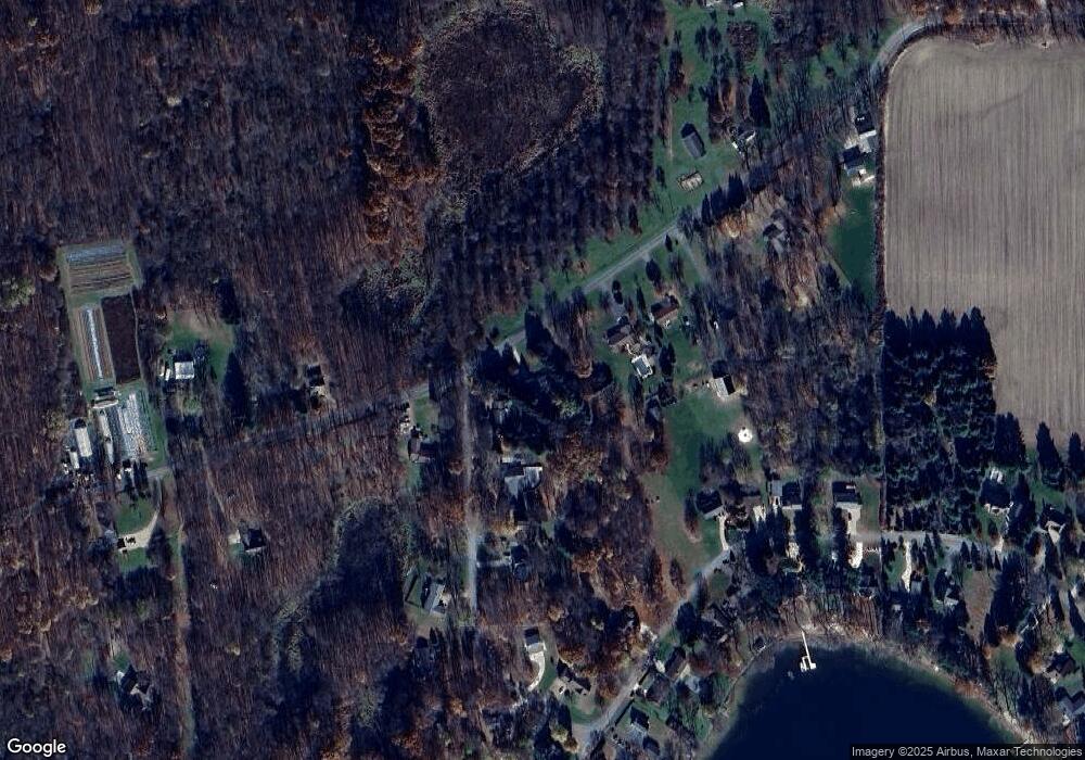
Map
Nearby Homes
- 43618 Carla Dr
- 0 Palmer Dr
- 0 70th Ave
- 44850 Woodman Dr
- 60846 N Lakeshore Dr
- Parcel A Territorial Rd
- 58356 Cr 671
- 58797 Territorial Rd
- 66598 Territorial Rd
- 59388 41st St
- 44702 B 56th Ave
- 69217 51st St
- 38126 72nd Ave
- 38126 72nd Ave Unit b
- 73541 39th St
- 80660 42nd St
- 41004 80th Ave
- 62619 N County Road 365
- 81480 42nd St
- 58008 N County Road 365
- 44357 Paw Rd
- 44357 Paw Paw Rd
- 66763 Hoodrije Dr
- 47144 Hoodrije Dr
- 44279 Paw Paw Rd
- 44279 Paw Paw Rd
- 66855 Hoodrije Dr
- 44441 Paw Paw Rd
- 44388 Paw Paw Rd
- 44441 Paw Rd
- 44211 Paw Paw Rd
- 44211 Paw Paw Rd
- 66959 Hoodrije Dr
- 67075 Hoodrije Dr
- 44181 Paw Rd
- 44181 Paw Paw Rd
- 44144 Carla Dr
- 44506 Paw Paw Rd
- 44506 Paw Rd
- 67144 Hoodrije Dr