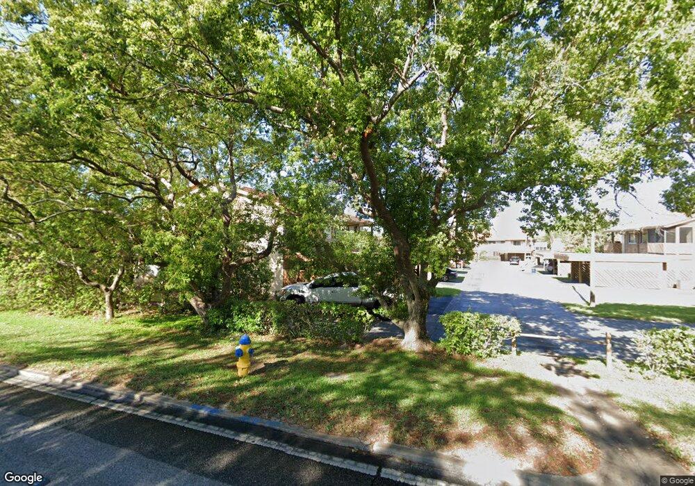
4436 Chart Ct New Port Richey, FL 34652
Estimated Value: $142,000 - $162,000
--
Bed
2
Baths
1,248
Sq Ft
$119/Sq Ft
Est. Value
About This Home
This home is located at 4436 Chart Ct, New Port Richey, FL 34652 and is currently estimated at $148,495, approximately $118 per square foot. 4436 Chart Ct is a home located in Pasco County with nearby schools including Mittye P. Locke Elementary School, Gulf Trace Elementary School, and Paul R. Smith Middle School.
Ownership History
Date
Name
Owned For
Owner Type
Purchase Details
Closed on
May 8, 2020
Sold by
Veliu Veli and Veliu Klarita
Bought by
Hart William and Hart Mary A
Current Estimated Value
Home Financials for this Owner
Home Financials are based on the most recent Mortgage that was taken out on this home.
Original Mortgage
$75,520
Outstanding Balance
$66,921
Interest Rate
3.3%
Mortgage Type
New Conventional
Estimated Equity
$81,574
Purchase Details
Closed on
May 30, 2019
Sold by
Doddie Jack and Doddie Doris Gail
Bought by
Veliu Veli and Veliu Klarita
Purchase Details
Closed on
Oct 17, 2014
Sold by
Doddie Michael
Bought by
Doddie Jack and Doddie Doris Gail
Purchase Details
Closed on
Oct 4, 2014
Sold by
Doddie Jack
Bought by
Doddie Jack and Doddie Doris Gail
Purchase Details
Closed on
Jul 2, 2001
Sold by
Doddie Richard
Bought by
Doddie Jack and Roberts Gina
Purchase Details
Closed on
Mar 26, 2001
Sold by
Doddie Mildred
Bought by
Doddie Richard
Create a Home Valuation Report for This Property
The Home Valuation Report is an in-depth analysis detailing your home's value as well as a comparison with similar homes in the area
Home Values in the Area
Average Home Value in this Area
Purchase History
| Date | Buyer | Sale Price | Title Company |
|---|---|---|---|
| Hart William | $100,000 | Executive Ttl Svcs Of Fl Inc | |
| Veliu Veli | $90,000 | Executive Ttl Svcs Of Fl Inc | |
| Doddie Jack | -- | Attorney | |
| Doddie Jack | -- | Attorney | |
| Doddie Jack | -- | Attorney | |
| Doddie Jack | $20,000 | -- | |
| Doddie Richard | -- | -- |
Source: Public Records
Mortgage History
| Date | Status | Borrower | Loan Amount |
|---|---|---|---|
| Open | Hart William | $75,520 |
Source: Public Records
Tax History Compared to Growth
Tax History
| Year | Tax Paid | Tax Assessment Tax Assessment Total Assessment is a certain percentage of the fair market value that is determined by local assessors to be the total taxable value of land and additions on the property. | Land | Improvement |
|---|---|---|---|---|
| 2025 | $2,184 | $109,859 | $5,200 | $104,659 |
| 2024 | $2,184 | $138,497 | $5,200 | $133,297 |
| 2023 | $1,805 | $96,779 | $5,200 | $91,579 |
| 2022 | $1,606 | $98,455 | $5,200 | $93,255 |
| 2021 | $1,438 | $80,092 | $5,200 | $74,892 |
| 2020 | $1,348 | $74,702 | $5,200 | $69,502 |
| 2019 | $997 | $56,833 | $5,200 | $51,633 |
| 2018 | $957 | $57,732 | $5,200 | $52,532 |
| 2017 | $869 | $47,843 | $5,200 | $42,643 |
| 2016 | $732 | $37,480 | $5,200 | $32,280 |
| 2015 | $689 | $34,176 | $5,200 | $28,976 |
| 2014 | $655 | $34,665 | $5,200 | $29,465 |
Source: Public Records
Map
Nearby Homes
- 3832 Lanyard Ct
- 3838 Lanyard Ct Unit B
- 4446 Chart Ct
- 4423 Pelorus Dr Unit B
- 4424 Pelorus Dr
- 3862 Lighthouse Way
- 3847 Lighthouse Way
- 3926 Lighthouse Way Unit A
- 4028 Davit Dr Unit 4028
- 3707 Pinehurst Dr
- 3640 Connon Dr
- 4708 Salem Dr
- 4715 Manor Dr
- 4243 Stratfield Dr
- 4325 Newbury Dr
- 4245 Crestfield Ave
- 3902 Glissade Dr
- 3542 Connon Dr
- 4241 Newbury Dr
- 4516 Tidal Pond Rd
- 4434 Chart Ct Unit 206B
- 4444 Chart Ct Unit B
- 4448 Chart Ct Unit 205D
- 4448 Chart Ct Unit 4448
- 4448 Chart Ct Unit 5-C
- 4446 Chart Ct Unit 205
- 4450 Chart Ct Unit 205
- 4450 Chart Ct
- 4450 Chart Ct Unit 4450
- 4450 Chart Ct Unit C
- 3845 Lanyard Ct Unit D
- 3845 Lanyard Ct Unit 3845
- 3845 Lanyard Ct Unit 237D
- 4439 Chart Ct Unit c
- 4439 Chart Ct
- 4441 Chart Ct
- 3840 Lanyard Ct Unit A
- 3840 Lanyard Ct
- 3839 Lanyard Ct