Estimated Value: $82,148 - $101,000
3
Beds
1
Bath
913
Sq Ft
$102/Sq Ft
Est. Value
About This Home
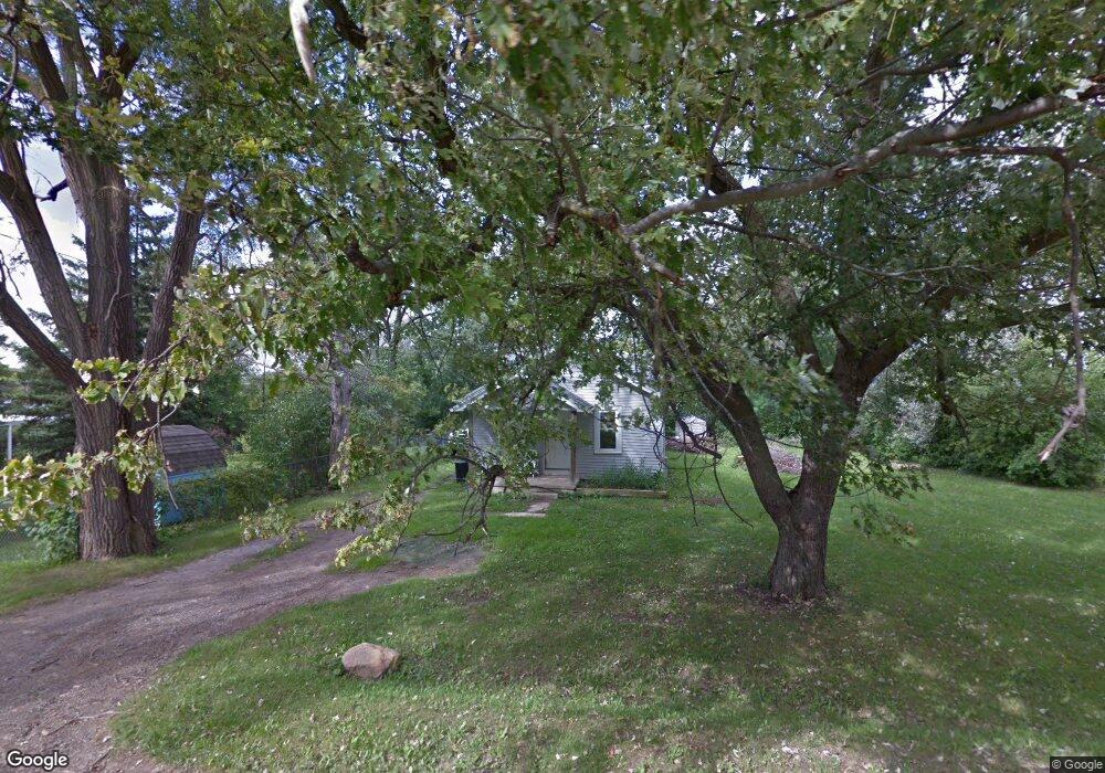
This home is located at 4436 Lenrose Ave, Flint, MI 48532 and is currently estimated at $92,787, approximately $101 per square foot. 4436 Lenrose Ave is a home located in Genesee County with nearby schools including Carman-Ainsworth High School, Genesee STEM Academy, and St. Paul Lutheran School.
Ownership History
Date
Name
Owned For
Owner Type
Purchase Details
Closed on
Nov 6, 2015
Sold by
Willman Danielle
Bought by
Smith Justin M
Current Estimated Value
Purchase Details
Closed on
Oct 24, 2013
Sold by
Sutter Ronda
Bought by
Willman Danielle
Purchase Details
Closed on
Jul 26, 2011
Sold by
Willman Danielle
Bought by
Sutter Ronda
Purchase Details
Closed on
Oct 12, 2009
Sold by
Horgan Michael J
Bought by
Willman Danielle
Purchase Details
Closed on
Mar 18, 2002
Sold by
North Richard L and North Maria A
Bought by
Horgan Michael
Create a Home Valuation Report for This Property
The Home Valuation Report is an in-depth analysis detailing your home's value as well as a comparison with similar homes in the area
Home Values in the Area
Average Home Value in this Area
Purchase History
| Date | Buyer | Sale Price | Title Company |
|---|---|---|---|
| Smith Justin M | -- | Attorney | |
| Willman Danielle | -- | None Available | |
| Sutter Ronda | -- | None Available | |
| Willman Danielle | -- | None Available | |
| Horgan Michael | $66,500 | Sargents Title Company |
Source: Public Records
Tax History
| Year | Tax Paid | Tax Assessment Tax Assessment Total Assessment is a certain percentage of the fair market value that is determined by local assessors to be the total taxable value of land and additions on the property. | Land | Improvement |
|---|---|---|---|---|
| 2025 | $1,703 | $26,400 | $0 | $0 |
| 2024 | $803 | $26,800 | $0 | $0 |
| 2023 | $870 | $24,800 | $0 | $0 |
| 2022 | $794 | $22,800 | $0 | $0 |
| 2021 | $1,390 | $21,500 | $0 | $0 |
| 2020 | $654 | $21,300 | $0 | $0 |
| 2019 | $429 | $21,000 | $0 | $0 |
| 2018 | $1,348 | $18,400 | $0 | $0 |
| 2017 | $1,534 | $18,400 | $0 | $0 |
| 2016 | $1,354 | $18,500 | $0 | $0 |
| 2015 | $1,041 | $18,500 | $0 | $0 |
| 2014 | $745 | $17,800 | $0 | $0 |
| 2012 | -- | $18,100 | $18,100 | $0 |
Source: Public Records
Map
Nearby Homes
- 0 Charter Dr Unit 50153638
- 3.9 Acres W Court St
- 4480 Corunna Rd
- 4474 Corunna Rd
- 2 Charter Dr
- 10 Acres T A Mansour Blvd
- 1455 S Linden Rd
- 4199 Sheraton Dr
- 1034 Normandy Terrace Dr
- 1512 Crescent Lane Dr Lot#46
- 000 Devenish Ln
- 18.41 Taft Rd
- 1095 Devenish Ln
- 1460 S Dye Rd
- 1161 S Dye Rd
- 2033 Eberly Rd
- 0000 Reuben Reuben St
- 2052 S Dye Rd
- 1137 S Graham Rd
- 1090 Cabot Dr
- 1373 Conway St
- 4437 W Court St
- 4423 W Court St
- 4429 Lenrose Ave
- 4435 Lenrose Ave
- 1385 Conway St
- 4421 Lenrose Ave
- 4418 Lenrose Ave
- 4400 Lenrose Ave
- 4417 Lenrose Ave
- 4407 W Court St
- 4457 W Court St
- 1364 Conway St
- 4403 W Court St
- 4411 Lenrose Ave
- 1399 Conway St
- 1386 Conway St
- 1374 Benard St
- 4472 Lenrose Ave
- 4454 W Court St
Your Personal Tour Guide
Ask me questions while you tour the home.