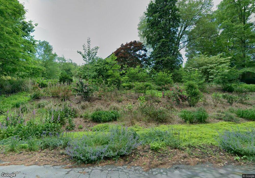
4437 Cobalt Dr Harwood, MD 20776
Harwood NeighborhoodEstimated Value: $667,000 - $778,000
4
Beds
2
Baths
2,720
Sq Ft
$261/Sq Ft
Est. Value
About This Home
This home is located at 4437 Cobalt Dr, Harwood, MD 20776 and is currently estimated at $708,838, approximately $260 per square foot. 4437 Cobalt Dr is a home located in Anne Arundel County with nearby schools including Lothian Elementary School, Southern Middle School, and Southern High School.
Ownership History
Date
Name
Owned For
Owner Type
Purchase Details
Closed on
Oct 27, 2009
Sold by
Brookes Deborah A
Bought by
Atkinson Gerald W and Atkinson Jennifer J
Current Estimated Value
Home Financials for this Owner
Home Financials are based on the most recent Mortgage that was taken out on this home.
Original Mortgage
$392,000
Outstanding Balance
$256,745
Interest Rate
5.06%
Mortgage Type
New Conventional
Estimated Equity
$452,093
Purchase Details
Closed on
Jan 30, 1990
Sold by
Brown Bruce F
Bought by
Brookes Deborah A
Create a Home Valuation Report for This Property
The Home Valuation Report is an in-depth analysis detailing your home's value as well as a comparison with similar homes in the area
Home Values in the Area
Average Home Value in this Area
Purchase History
| Date | Buyer | Sale Price | Title Company |
|---|---|---|---|
| Atkinson Gerald W | $490,000 | -- | |
| Brookes Deborah A | $36,000 | -- |
Source: Public Records
Mortgage History
| Date | Status | Borrower | Loan Amount |
|---|---|---|---|
| Open | Atkinson Gerald W | $392,000 |
Source: Public Records
Tax History Compared to Growth
Tax History
| Year | Tax Paid | Tax Assessment Tax Assessment Total Assessment is a certain percentage of the fair market value that is determined by local assessors to be the total taxable value of land and additions on the property. | Land | Improvement |
|---|---|---|---|---|
| 2025 | $5,123 | $439,100 | -- | -- |
| 2024 | $5,123 | $427,500 | $0 | $0 |
| 2023 | $4,987 | $415,900 | $154,100 | $261,800 |
| 2022 | $4,664 | $402,067 | $0 | $0 |
| 2021 | $9,155 | $388,233 | $0 | $0 |
| 2020 | $4,453 | $374,400 | $136,600 | $237,800 |
| 2019 | $4,456 | $374,400 | $136,600 | $237,800 |
| 2018 | $3,796 | $374,400 | $136,600 | $237,800 |
| 2017 | $4,472 | $401,000 | $0 | $0 |
| 2016 | -- | $388,367 | $0 | $0 |
| 2015 | -- | $375,733 | $0 | $0 |
| 2014 | -- | $363,100 | $0 | $0 |
Source: Public Records
Map
Nearby Homes
- 4320 Solomons Island Rd
- 21 Treiber Ln
- 812 Richardson Dr
- 204 Three Rivers Rd
- 4440 Claybrooke Dr
- 201 Biggs Purchase Ln
- 9 Solitude Ct
- 3886 Greenmeadow Ln
- 635 Teton Ct
- 3508 Marthas Vineyard Way
- 674 Teton Dr
- 3451 Blandford Way
- 5292 Moreland Rd
- 13 Jessie Rd
- 612 Traveller Ct
- 600 Traveller Ct
- 623 Traveller Ct
- 3410 Blandford Way
- 5248 Ferry Branch Ln
- 5257 Ferry Branch Ln
- 4438 Cobalt Dr
- 4441 Cobalt Dr
- 4440 Cobalt Dr
- 146 Polling House Rd
- 130 Polling House Rd
- 172 Polling House Rd
- 4436 Cobalt Dr
- 4435 Cobalt Dr
- 132 Polling House Rd
- 168 Polling House Rd
- 170 Polling House Rd
- 4434 Cobalt Dr
- 128 Polling House Rd
- 4433 Cobalt Dr
- 116 Polling House Rd
- 137 Polling House Rd
- 4431 Cobalt Dr
- 4432 Cobalt Dr
- 110 Polling House Rd
- 4437 Indigo Ln