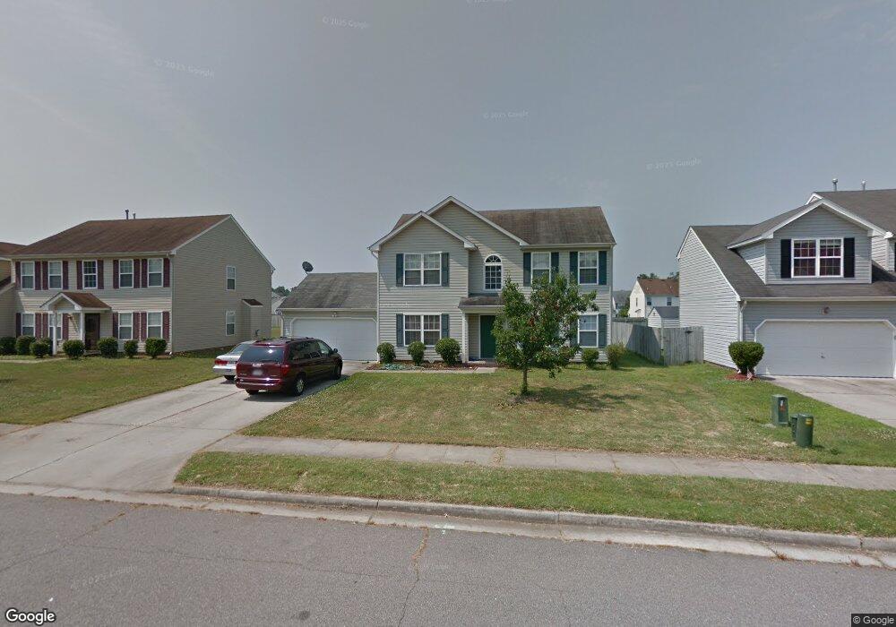
4438 Pelican Point Portsmouth, VA 23703
Churchland NeighborhoodEstimated Value: $387,975 - $407,000
3
Beds
3
Baths
2,000
Sq Ft
$200/Sq Ft
Est. Value
About This Home
This home is located at 4438 Pelican Point, Portsmouth, VA 23703 and is currently estimated at $399,244, approximately $199 per square foot. 4438 Pelican Point is a home located in Portsmouth City with nearby schools including Churchland Primary/Intermediate School, Churchland Middle School, and Churchland High School.
Ownership History
Date
Name
Owned For
Owner Type
Purchase Details
Closed on
Jan 23, 2001
Sold by
Bishops Green L L C
Bought by
Layent Akim O
Current Estimated Value
Home Financials for this Owner
Home Financials are based on the most recent Mortgage that was taken out on this home.
Original Mortgage
$127,040
Outstanding Balance
$45,512
Interest Rate
7.14%
Estimated Equity
$353,732
Create a Home Valuation Report for This Property
The Home Valuation Report is an in-depth analysis detailing your home's value as well as a comparison with similar homes in the area
Home Values in the Area
Average Home Value in this Area
Purchase History
| Date | Buyer | Sale Price | Title Company |
|---|---|---|---|
| Layent Akim O | $129,500 | -- |
Source: Public Records
Mortgage History
| Date | Status | Borrower | Loan Amount |
|---|---|---|---|
| Open | Layent Akim O | $127,040 |
Source: Public Records
Tax History Compared to Growth
Tax History
| Year | Tax Paid | Tax Assessment Tax Assessment Total Assessment is a certain percentage of the fair market value that is determined by local assessors to be the total taxable value of land and additions on the property. | Land | Improvement |
|---|---|---|---|---|
| 2025 | $4,319 | $349,630 | $110,360 | $239,270 |
| 2024 | $4,319 | $337,220 | $110,360 | $226,860 |
| 2023 | $3,861 | $308,860 | $110,360 | $198,500 |
| 2022 | $3,684 | $283,380 | $91,970 | $191,410 |
| 2021 | $3,192 | $245,540 | $71,850 | $173,690 |
| 2020 | $3,032 | $233,260 | $68,430 | $164,830 |
| 2019 | $3,009 | $231,480 | $68,430 | $163,050 |
| 2018 | $3,009 | $231,480 | $68,430 | $163,050 |
| 2017 | $3,009 | $231,480 | $68,430 | $163,050 |
| 2016 | $2,917 | $224,400 | $68,430 | $155,970 |
| 2015 | $2,848 | $219,080 | $68,430 | $150,650 |
| 2014 | $2,782 | $219,080 | $68,430 | $150,650 |
Source: Public Records
Map
Nearby Homes
- 21 Windy Pines Crescent
- 5833 Hawthorne Ln
- 8 Compass Ct
- 4444 Southampton Arch
- 4224 Burnham Dr
- 4200 Quince Rd
- 5728 Hawthorne Ln
- 17 Shoal Ct
- 4100 Mayfair Way
- 4232 Summerset Dr
- 4071 Long Point Blvd
- 4619 River Shore Rd
- 4726 River Shore Rd
- 5807 Dunkin St
- 4028 Swannanoa Dr
- 5606 Gregory Ct
- 3866 Augustine Cir
- 6750 Burbage Landing Cir
- 3433 Willow Breeze Dr
- 5693 Rivermill Cir
- 4442 Pelican Point
- 4434 Pelican Point
- 4446 Pelican Point
- 4443 Pelican Point
- 4430 Pelican Point
- 5952 Eagle Point
- 4439 Pelican Point
- 4447 Pelican Point
- 5948 Eagle Point
- 5956 Eagle Point
- 5956 Eagle Point Unit Pt.
- 4451 Pelican Point
- 4435 Pelican Point
- 4450 Pelican Point
- 4426 Pelican Point
- 5960 Eagle Point
- 5944 Eagle Point
- 4431 Pelican Point
- 4455 Pelican Point
- 4454 Pelican Point