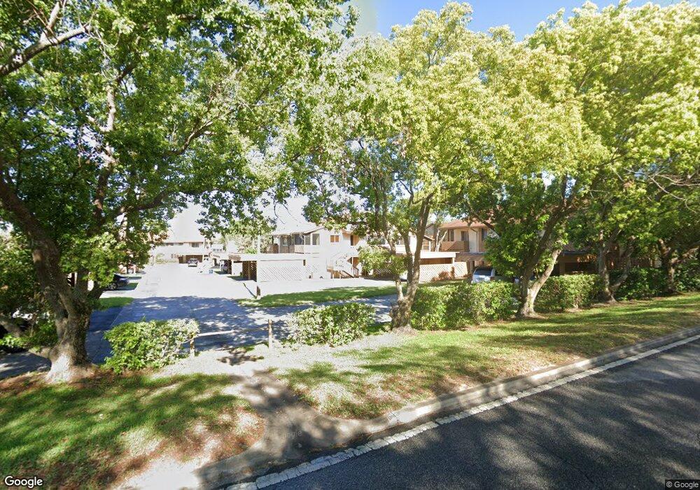
4439 Chart Ct Unit c New Port Richey, FL 34652
Estimated Value: $136,295 - $158,000
2
Beds
2
Baths
1,144
Sq Ft
$129/Sq Ft
Est. Value
About This Home
This home is located at 4439 Chart Ct Unit c, New Port Richey, FL 34652 and is currently estimated at $148,074, approximately $129 per square foot. 4439 Chart Ct Unit c is a home located in Pasco County with nearby schools including Mittye P. Locke Elementary School, Gulf Trace Elementary School, and Paul R. Smith Middle School.
Ownership History
Date
Name
Owned For
Owner Type
Purchase Details
Closed on
Sep 17, 2020
Sold by
Nardone Vincenzo
Bought by
Eramo Giovambattista and Eramo Antonella
Current Estimated Value
Purchase Details
Closed on
Jan 5, 2018
Sold by
Hauser Hans and Hauser Troy
Bought by
Nardone Vincenzo
Purchase Details
Closed on
Jan 10, 2012
Sold by
Curtis Shirley J and Curtis Richard T
Bought by
Hauser Hans and Hauser Troy
Purchase Details
Closed on
Oct 14, 2011
Sold by
Curtis Shirley J
Bought by
Shirley J Curtis Living Trust
Create a Home Valuation Report for This Property
The Home Valuation Report is an in-depth analysis detailing your home's value as well as a comparison with similar homes in the area
Home Values in the Area
Average Home Value in this Area
Purchase History
| Date | Buyer | Sale Price | Title Company |
|---|---|---|---|
| Eramo Giovambattista | -- | Attorney | |
| Nardone Vincenzo | $67,000 | Anclote Title Services Inc | |
| Hauser Hans | $39,900 | Republic Land & Title Inc | |
| Shirley J Curtis Living Trust | -- | Attorney |
Source: Public Records
Tax History Compared to Growth
Tax History
| Year | Tax Paid | Tax Assessment Tax Assessment Total Assessment is a certain percentage of the fair market value that is determined by local assessors to be the total taxable value of land and additions on the property. | Land | Improvement |
|---|---|---|---|---|
| 2025 | $853 | $85,270 | -- | -- |
| 2024 | $853 | $80,540 | -- | -- |
| 2023 | $809 | $78,200 | $0 | $0 |
| 2022 | $711 | $75,930 | $0 | $0 |
| 2021 | $698 | $73,720 | $5,200 | $68,520 |
| 2020 | $689 | $72,710 | $5,200 | $67,510 |
| 2019 | $682 | $71,083 | $5,200 | $65,883 |
| 2018 | $959 | $58,037 | $5,200 | $52,837 |
| 2017 | $871 | $48,144 | $5,200 | $42,944 |
| 2016 | $733 | $37,527 | $5,200 | $32,327 |
| 2015 | $698 | $34,674 | $5,200 | $29,474 |
| 2014 | $657 | $35,170 | $5,200 | $29,970 |
Source: Public Records
Map
Nearby Homes
- 4446 Chart Ct
- 3838 Lanyard Ct Unit B
- 3862 Lighthouse Way
- 3832 Lanyard Ct
- 4014 Davit Dr Unit A
- 3847 Lighthouse Way
- 4028 Davit Dr Unit 4028
- 4445 Pelorus Dr
- 4042 Jib Sail Ct
- 4325 Newbury Dr
- 4241 Newbury Dr
- 4451 Tidal Pond Rd
- 4509 Tidal Pond Rd
- 4202 Craftsbury Dr
- 4211 Sheldon Place Unit 4211
- 3902 Glissade Dr
- 4209 Prince Place Unit 4209
- 3705 U S Hwy 19
- 3707 Pinehurst Dr
- 4206 Touchton Place
- 4435 Chart Ct Unit 4435
- 4435 Chart Ct Unit 1
- 4435 Chart Ct
- 4435 Chart Ct Unit a
- 4439 Chart Ct
- 4441 Chart Ct
- 4437 Chart Ct
- 3914 Lighthouse Way Unit 202B
- 3918 Lighthouse Way Unit 202D
- 3914 Lighthouse Way Unit 3914
- 3914 Lighthouse Way
- 3918 Lighthouse Way Unit D
- 3914 Lighthouse Way
- 4445 Chart Ct Unit A
- 4449 Chart Ct Unit 204C
- 3916 Lighthouse Way
- 3920 Lighthouse Way Unit C
- 3916 Lighthouse Way
- 3920 Lighthouse Way Unit 2