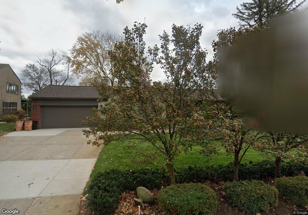
4439 Deckerland St West Bloomfield, MI 48323
Estimated Value: $372,000 - $459,000
1
Bed
2
Baths
2,169
Sq Ft
$186/Sq Ft
Est. Value
About This Home
This home is located at 4439 Deckerland St, West Bloomfield, MI 48323 and is currently estimated at $404,410, approximately $186 per square foot. 4439 Deckerland St is a home located in Oakland County with nearby schools including Walled Lake Central High School and St. Matthew Lutheran School.
Ownership History
Date
Name
Owned For
Owner Type
Purchase Details
Closed on
Jun 11, 2025
Sold by
Martin Richard H and Martin Judith A
Bought by
Richard And Judith Martin Joint Revocable Tru and Martin
Current Estimated Value
Purchase Details
Closed on
Nov 16, 2005
Sold by
Duscio Andrew
Bought by
Martin Richard H and Martin Judith A
Create a Home Valuation Report for This Property
The Home Valuation Report is an in-depth analysis detailing your home's value as well as a comparison with similar homes in the area
Home Values in the Area
Average Home Value in this Area
Purchase History
| Date | Buyer | Sale Price | Title Company |
|---|---|---|---|
| Richard And Judith Martin Joint Revocable Tru | -- | None Listed On Document | |
| Richard And Judith Martin Joint Revocable Tru | -- | None Listed On Document | |
| Martin Richard H | $245,000 | H & H Title Inc |
Source: Public Records
Tax History Compared to Growth
Tax History
| Year | Tax Paid | Tax Assessment Tax Assessment Total Assessment is a certain percentage of the fair market value that is determined by local assessors to be the total taxable value of land and additions on the property. | Land | Improvement |
|---|---|---|---|---|
| 2024 | $2,862 | $150,470 | $0 | $0 |
| 2022 | $2,698 | $143,290 | $37,050 | $106,240 |
| 2021 | $4,383 | $132,010 | $0 | $0 |
| 2020 | $2,613 | $132,770 | $37,050 | $95,720 |
| 2018 | $4,245 | $153,860 | $36,880 | $116,980 |
| 2015 | -- | $129,430 | $0 | $0 |
| 2014 | -- | $121,190 | $0 | $0 |
| 2011 | -- | $114,980 | $0 | $0 |
Source: Public Records
Map
Nearby Homes
- 4540 Rolling Pine Ct
- 7545/7585 Pontiac Trail
- 7585/7548 Pontiac Trail
- 6140 Pontiac Trail
- 000 Pontiac Trail
- 6100 Pontiac Trail
- 6675 Langtoft St
- 0000 Langtoft
- 4442 Borland St
- 4066 Green Lake Rd
- 3950 Bradmore Ave
- 3965 Carrick Ave
- 6980 Hambro St
- 3991 Fieldview Ave
- 5994 Glen Eagles Dr
- 6978 Colony Dr
- 3701 Northwood
- 6903 Dandison Blvd
- 6768 Buckland Ave
- 3641 Green Lake Rd
- 4427 Deckerland St
- 4445 Deckerland St
- 4430 Deckerland St
- 4415 Deckerland St
- 4455 Deckerland St
- 6375 Deckerland St
- 4469 Deckerland St
- 6334 Lakeshore St
- 6352 Lakeshore St
- 6300 Lakeshore St
- 6390 Lakeshore St
- 4479 Deckerland St
- 6312 Lakeshore St
- 6306 Deckerland St
- 6300 Rue du Lac
- 6322 Lakeshore St
- 6280 Rue du Lac
- 6330 Lakeshore St
- 6400 Lakeshore St
- 6290 Lakeshore St