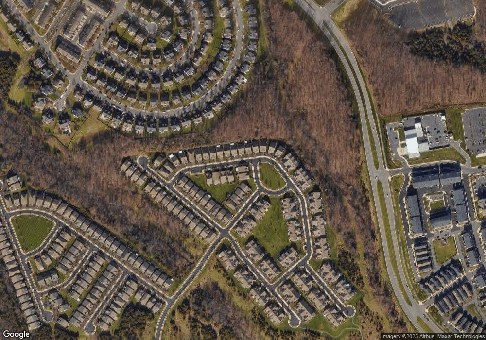
44393 Port Royal Cir Ashburn, VA 20147
Estimated Value: $857,038 - $896,000
3
Beds
4
Baths
--
Sq Ft
--
Built
About This Home
This home is located at 44393 Port Royal Cir, Ashburn, VA 20147 and is currently estimated at $877,760. 44393 Port Royal Cir is a home located in Loudoun County with nearby schools including Steuart W. Weller Elementary School, Belmont Ridge Middle, and Riverside High.
Ownership History
Date
Name
Owned For
Owner Type
Purchase Details
Closed on
Jun 27, 2011
Sold by
Pulte Home Corporation
Bought by
Weyman Tr Kathleen A and The Weyman Marital Trust
Current Estimated Value
Home Financials for this Owner
Home Financials are based on the most recent Mortgage that was taken out on this home.
Original Mortgage
$100,000
Outstanding Balance
$69,185
Interest Rate
4.63%
Mortgage Type
New Conventional
Estimated Equity
$808,575
Create a Home Valuation Report for This Property
The Home Valuation Report is an in-depth analysis detailing your home's value as well as a comparison with similar homes in the area
Home Values in the Area
Average Home Value in this Area
Purchase History
| Date | Buyer | Sale Price | Title Company |
|---|---|---|---|
| Weyman Tr Kathleen A | $445,795 | -- |
Source: Public Records
Mortgage History
| Date | Status | Borrower | Loan Amount |
|---|---|---|---|
| Open | Weyman Tr Kathleen A | $100,000 |
Source: Public Records
Tax History Compared to Growth
Tax History
| Year | Tax Paid | Tax Assessment Tax Assessment Total Assessment is a certain percentage of the fair market value that is determined by local assessors to be the total taxable value of land and additions on the property. | Land | Improvement |
|---|---|---|---|---|
| 2025 | $6,642 | $825,090 | $279,600 | $545,490 |
| 2024 | $6,432 | $743,560 | $239,600 | $503,960 |
| 2023 | $6,535 | $746,840 | $239,600 | $507,240 |
| 2022 | $6,587 | $740,160 | $219,600 | $520,560 |
| 2021 | $5,699 | $581,550 | $199,600 | $381,950 |
| 2020 | $5,927 | $572,610 | $179,600 | $393,010 |
| 2019 | $5,912 | $565,700 | $179,600 | $386,100 |
| 2018 | $5,992 | $552,250 | $158,800 | $393,450 |
| 2017 | $6,073 | $539,830 | $158,800 | $381,030 |
| 2016 | $6,097 | $532,450 | $0 | $0 |
| 2015 | $6,062 | $375,260 | $0 | $375,260 |
| 2014 | $5,816 | $344,770 | $0 | $344,770 |
Source: Public Records
Map
Nearby Homes
- 20306 Newfoundland Square
- 44614 Wolfhound Square
- 20396 Roslindale Dr
- 20287 Savin Hill Dr
- 44501 Wolfhound Square
- 44580 Wolfhound Square
- 20305 Savin Hill Dr
- 44531 Wolfhound Square
- 44533 Wolfhound Square
- 44532 Stepney Dr
- 44465 Maltese Falcon Square
- 20256 Northpark Dr
- 20432 Cool Fern Square
- 20304 Northpark Dr
- 44489 Maltese Falcon Square
- 20402 Cool Fern Square
- 44397 Adare Manor Square
- HOMESITE 75 Northpark Dr
- HOMESITE 52 Strabane Terrace
- HOMESITE 49 Strabane Terrace
- 44397 Port Royal Cir
- 44377 Cruden Bay Dr
- 20419 Casablanca Dr
- 44384 Cruden Bay Dr
- 44380 Cruden Bay Dr
- 44388 Cruden Bay Dr
- 44373 Cruden Bay Dr
- 44376 Cruden Bay Dr
- 20421 Casablanca Dr
- 44392 Cruden Bay Dr
- 44369 Cruden Bay Dr
- 44372 Cruden Bay Dr
- 20423 Casablanca Dr
- 44368 Cruden Bay Dr
- 44365 Cruden Bay Dr
- 44400 Cruden Bay Dr
- 20425 Casablanca Dr
- 20416 Casablanca Dr
- 44364 Cruden Bay Dr
- 44404 Cruden Bay Dr
