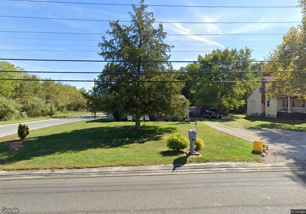
444 Andrews Rd Sicklerville, NJ 08081
Winslow Township NeighborhoodEstimated Value: $217,000 - $265,853
--
Bed
--
Bath
1,140
Sq Ft
$213/Sq Ft
Est. Value
About This Home
This home is located at 444 Andrews Rd, Sicklerville, NJ 08081 and is currently estimated at $243,213, approximately $213 per square foot. 444 Andrews Rd is a home located in Camden County with nearby schools including Winslow Township High School, South Jersey Christian Academy, and St. Mary School.
Ownership History
Date
Name
Owned For
Owner Type
Purchase Details
Closed on
Jan 13, 2006
Sold by
Mccall Tyrone E
Bought by
Stanton Dorothy
Current Estimated Value
Home Financials for this Owner
Home Financials are based on the most recent Mortgage that was taken out on this home.
Original Mortgage
$146,250
Outstanding Balance
$82,204
Interest Rate
6.27%
Estimated Equity
$161,009
Purchase Details
Closed on
Aug 20, 2004
Sold by
Dehart Cheryl
Bought by
Mccall Tyrone E
Home Financials for this Owner
Home Financials are based on the most recent Mortgage that was taken out on this home.
Original Mortgage
$109,000
Interest Rate
5.89%
Purchase Details
Closed on
Sep 14, 1995
Sold by
Farmers Home Admin
Bought by
Dehart Chery
Home Financials for this Owner
Home Financials are based on the most recent Mortgage that was taken out on this home.
Original Mortgage
$67,000
Interest Rate
7.81%
Create a Home Valuation Report for This Property
The Home Valuation Report is an in-depth analysis detailing your home's value as well as a comparison with similar homes in the area
Home Values in the Area
Average Home Value in this Area
Purchase History
| Date | Buyer | Sale Price | Title Company |
|---|---|---|---|
| Stanton Dorothy | $162,500 | -- | |
| Mccall Tyrone E | $109,000 | -- | |
| Dehart Chery | $67,000 | -- |
Source: Public Records
Mortgage History
| Date | Status | Borrower | Loan Amount |
|---|---|---|---|
| Open | Stanton Dorothy | $146,250 | |
| Previous Owner | Mccall Tyrone E | $109,000 | |
| Previous Owner | Dehart Chery | $67,000 |
Source: Public Records
Tax History Compared to Growth
Tax History
| Year | Tax Paid | Tax Assessment Tax Assessment Total Assessment is a certain percentage of the fair market value that is determined by local assessors to be the total taxable value of land and additions on the property. | Land | Improvement |
|---|---|---|---|---|
| 2025 | $4,347 | $111,400 | $37,800 | $73,600 |
| 2024 | $4,232 | $111,400 | $37,800 | $73,600 |
| 2023 | $4,232 | $111,400 | $37,800 | $73,600 |
| 2022 | $4,102 | $111,400 | $37,800 | $73,600 |
| 2021 | $4,055 | $111,400 | $37,800 | $73,600 |
| 2020 | $4,019 | $111,400 | $37,800 | $73,600 |
| 2019 | $3,995 | $111,400 | $37,800 | $73,600 |
| 2018 | $3,940 | $111,400 | $37,800 | $73,600 |
| 2017 | $3,870 | $111,400 | $37,800 | $73,600 |
| 2016 | $3,821 | $111,400 | $37,800 | $73,600 |
| 2015 | $3,765 | $111,400 | $37,800 | $73,600 |
| 2014 | $3,682 | $111,400 | $37,800 | $73,600 |
Source: Public Records
Map
Nearby Homes