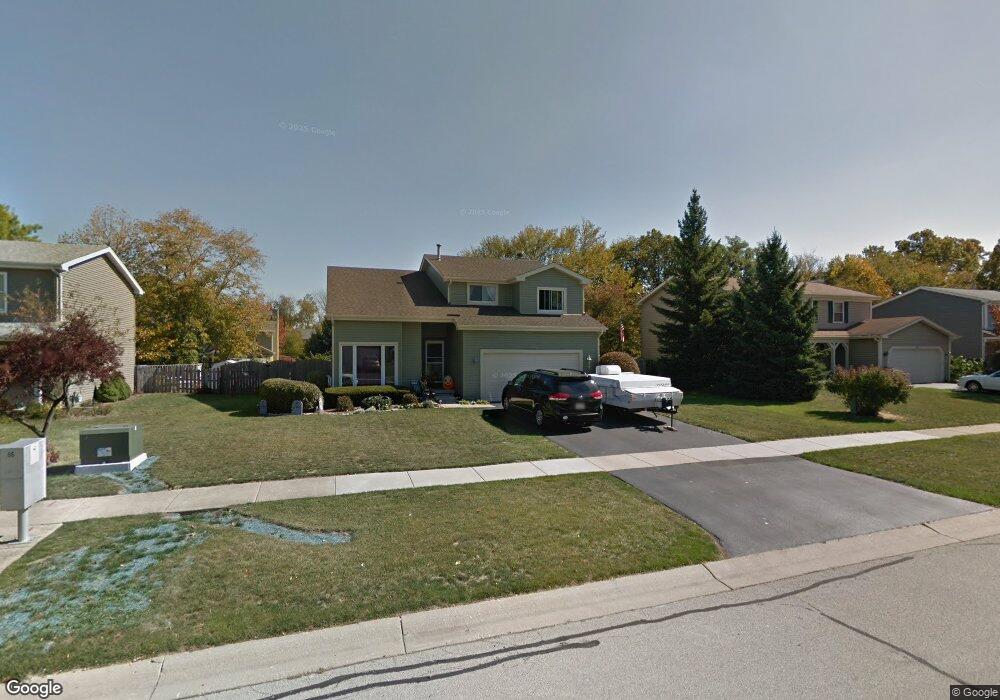
444 Appleton Dr Batavia, IL 60510
Woodland Hills NeighborhoodEstimated Value: $425,973 - $532,000
4
Beds
--
Bath
2,412
Sq Ft
$197/Sq Ft
Est. Value
About This Home
This home is located at 444 Appleton Dr, Batavia, IL 60510 and is currently estimated at $476,243, approximately $197 per square foot. 444 Appleton Dr is a home located in Kane County with nearby schools including J B Nelson Elementary School, Sam Rotolo Middle School, and Batavia Sr High School.
Ownership History
Date
Name
Owned For
Owner Type
Purchase Details
Closed on
Jul 31, 2003
Sold by
Mcgowan John T and Mcgowan Judith A
Bought by
Kent Scott A and Kent Pamela D
Current Estimated Value
Home Financials for this Owner
Home Financials are based on the most recent Mortgage that was taken out on this home.
Original Mortgage
$202,000
Outstanding Balance
$89,406
Interest Rate
5.69%
Mortgage Type
Purchase Money Mortgage
Estimated Equity
$386,837
Create a Home Valuation Report for This Property
The Home Valuation Report is an in-depth analysis detailing your home's value as well as a comparison with similar homes in the area
Home Values in the Area
Average Home Value in this Area
Purchase History
| Date | Buyer | Sale Price | Title Company |
|---|---|---|---|
| Kent Scott A | $260,000 | Attorneys National Title Net |
Source: Public Records
Mortgage History
| Date | Status | Borrower | Loan Amount |
|---|---|---|---|
| Open | Kent Scott A | $202,000 |
Source: Public Records
Tax History
| Year | Tax Paid | Tax Assessment Tax Assessment Total Assessment is a certain percentage of the fair market value that is determined by local assessors to be the total taxable value of land and additions on the property. | Land | Improvement |
|---|---|---|---|---|
| 2024 | $9,027 | $122,167 | $23,640 | $98,527 |
| 2023 | $8,828 | $110,880 | $21,456 | $89,424 |
| 2022 | $8,990 | $108,961 | $20,052 | $88,909 |
| 2021 | $8,629 | $103,339 | $19,017 | $84,322 |
| 2020 | $8,415 | $101,352 | $18,651 | $82,701 |
| 2019 | $8,276 | $97,764 | $17,991 | $79,773 |
| 2018 | $7,944 | $94,040 | $17,306 | $76,734 |
| 2017 | $7,749 | $90,939 | $16,735 | $74,204 |
| 2016 | $7,582 | $88,291 | $16,248 | $72,043 |
| 2015 | -- | $86,281 | $15,878 | $70,403 |
| 2014 | -- | $83,565 | $15,378 | $68,187 |
| 2013 | -- | $86,696 | $19,839 | $66,857 |
Source: Public Records
Map
Nearby Homes
- 570 Violet Ln
- 1136 Pine Ct
- 121 S Raddant Rd
- Lot 1 Center St
- 1025 E Wilson St
- 637 E Wilson St
- 694 Hart Rd
- 304 S Prairie St
- 414 Cleveland Ave
- Lot 4 Manchester Ave
- 1206 Beckman Ln
- 524 N College St
- 637 Madison St
- 860 S River St
- 417 N Van Buren St
- 820 N Van Buren St
- 1402 Cherry Dr
- 404 S Batavia Ave
- 330 First St
- 345 Main St
- 434 Appleton Dr
- 454 Appleton Dr
- 561 Viking Dr
- 551 Viking Dr
- 424 Appleton Dr
- 464 Appleton Dr Unit 2B
- 1049 Wintergreen Terrace
- 571 Viking Dr
- 445 Appleton Dr
- 435 Appleton Dr
- 541 Viking Dr
- 455 Appleton Dr
- 502 Appleton Dr
- 414 Appleton Dr
- 425 Appleton Dr
- 579 Viking Dr Unit 5
- 465 Appleton Dr
- 531 Viking Dr Unit 6
- 1043 Wintergreen Terrace
- 415 Appleton Dr
Your Personal Tour Guide
Ask me questions while you tour the home.