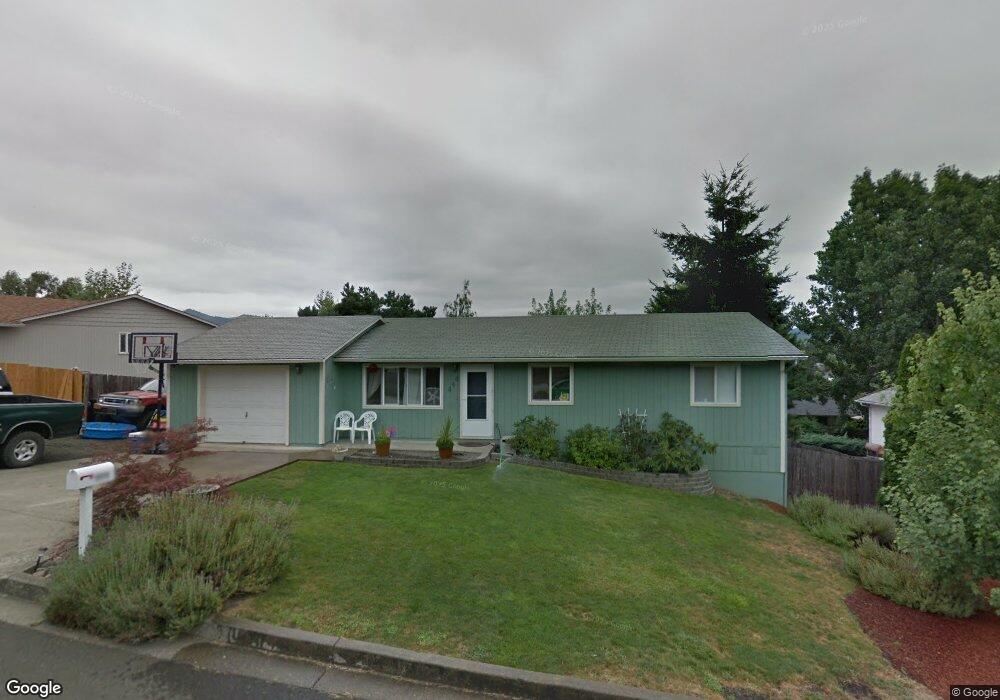
444 Corona Loop Rd Roseburg, OR 97471
Green NeighborhoodEstimated Value: $250,000 - $295,000
3
Beds
1
Bath
1,008
Sq Ft
$272/Sq Ft
Est. Value
About This Home
This home is located at 444 Corona Loop Rd, Roseburg, OR 97471 and is currently estimated at $273,743, approximately $271 per square foot. 444 Corona Loop Rd is a home located in Douglas County with nearby schools including Sunnyslope Elementary School, John C. Fremont Middle School, and Roseburg High School.
Ownership History
Date
Name
Owned For
Owner Type
Purchase Details
Closed on
Mar 17, 2015
Sold by
United States Department Of Agriculture
Bought by
Roberts Karter
Current Estimated Value
Home Financials for this Owner
Home Financials are based on the most recent Mortgage that was taken out on this home.
Original Mortgage
$80,750
Interest Rate
3.8%
Mortgage Type
USDA
Purchase Details
Closed on
Apr 16, 2014
Sold by
Sanders Brianne N
Bought by
United States Department Of Agriculture
Create a Home Valuation Report for This Property
The Home Valuation Report is an in-depth analysis detailing your home's value as well as a comparison with similar homes in the area
Home Values in the Area
Average Home Value in this Area
Purchase History
| Date | Buyer | Sale Price | Title Company |
|---|---|---|---|
| Roberts Karter | $85,000 | First American Title | |
| United States Department Of Agriculture | $98,150 | First American Title |
Source: Public Records
Mortgage History
| Date | Status | Borrower | Loan Amount |
|---|---|---|---|
| Closed | Roberts Karter | $80,750 |
Source: Public Records
Tax History Compared to Growth
Tax History
| Year | Tax Paid | Tax Assessment Tax Assessment Total Assessment is a certain percentage of the fair market value that is determined by local assessors to be the total taxable value of land and additions on the property. | Land | Improvement |
|---|---|---|---|---|
| 2024 | $1,411 | $150,786 | -- | -- |
| 2023 | $1,370 | $146,395 | $0 | $0 |
| 2022 | $1,330 | $142,132 | $0 | $0 |
| 2021 | $1,291 | $137,993 | $0 | $0 |
| 2020 | $1,303 | $133,974 | $0 | $0 |
| 2019 | $1,280 | $130,072 | $0 | $0 |
| 2018 | $1,250 | $126,284 | $0 | $0 |
| 2017 | $1,213 | $122,606 | $0 | $0 |
| 2016 | $1,191 | $119,035 | $0 | $0 |
| 2015 | $1,169 | $115,568 | $0 | $0 |
| 2014 | $1,123 | $111,249 | $0 | $0 |
| 2013 | -- | $109,745 | $0 | $0 |
Source: Public Records
Map
Nearby Homes
- 150 Maywood Ct
- 405 Corona Loop Rd
- 124 Aloha Ct
- 383 Little Valley Rd
- 248 Corona Loop Rd
- 225 Corona Loop Rd
- 129 Summerwood St
- 275 Littlebrook Ln
- 120 Littlebrook Ln
- 133 Jessica Lynn Ln
- 122 Kristi Lee Ln
- 157 Creekside Ct
- 204 Rainbow Ridge Ave
- 231 Owyhee Ln
- 193 Owyhee Ln
- 601 Little Valley Rd
- 145 Owyhee Ln Unit 58
- 134 Owyhee Ln
- 266 River Place Dr
- 1973 Castle Ave
- 466 Corona Loop Rd
- 398 Corona Loop Rd
- 147 Maywood Ct
- 449 Corona Loop Rd
- 111 Laguna Ct
- 437 Corona Loop Rd
- 415 Corona Loop Rd
- 425 Corona Loop Rd
- 380 Corona Loop Rd
- 504 Corona Loop Rd
- 112 Laguna Ct
- 141 Maywood Ct
- 364 Corona Loop Rd
- 142 Maywood Ct
- 121 Laguna Ct
- 520 Corona Loop Rd
- 342 Corona Loop Rd
- 114 Aloha Ct
- 122 Laguna Ct
- 131 Maywood Ct