444 Craig Rd Forsyth, GA 31029
Estimated Value: $272,323 - $348,000
--
Bed
2
Baths
1,725
Sq Ft
$176/Sq Ft
Est. Value
About This Home
This home is located at 444 Craig Rd, Forsyth, GA 31029 and is currently estimated at $303,108, approximately $175 per square foot. 444 Craig Rd is a home located in Monroe County with nearby schools including Katherine B. Sutton Elementary School and Mary Persons High School.
Ownership History
Date
Name
Owned For
Owner Type
Purchase Details
Closed on
Aug 15, 1995
Bought by
Mclendon Richard F and Mclendon Lisa M
Current Estimated Value
Create a Home Valuation Report for This Property
The Home Valuation Report is an in-depth analysis detailing your home's value as well as a comparison with similar homes in the area
Home Values in the Area
Average Home Value in this Area
Purchase History
| Date | Buyer | Sale Price | Title Company |
|---|---|---|---|
| Mclendon Richard F | $14,000 | -- |
Source: Public Records
Tax History Compared to Growth
Tax History
| Year | Tax Paid | Tax Assessment Tax Assessment Total Assessment is a certain percentage of the fair market value that is determined by local assessors to be the total taxable value of land and additions on the property. | Land | Improvement |
|---|---|---|---|---|
| 2024 | $1,962 | $81,680 | $24,520 | $57,160 |
| 2023 | $1,882 | $73,120 | $24,520 | $48,600 |
| 2022 | $1,655 | $73,120 | $24,520 | $48,600 |
| 2021 | $1,713 | $73,120 | $24,520 | $48,600 |
| 2020 | $1,615 | $68,200 | $19,600 | $48,600 |
| 2019 | $1,628 | $68,200 | $19,600 | $48,600 |
| 2018 | $1,632 | $68,200 | $19,600 | $48,600 |
| 2017 | $1,982 | $68,200 | $19,600 | $48,600 |
| 2016 | $1,553 | $68,200 | $19,600 | $48,600 |
| 2015 | $1,602 | $73,120 | $24,520 | $48,600 |
| 2014 | $1,546 | $73,120 | $24,520 | $48,600 |
Source: Public Records
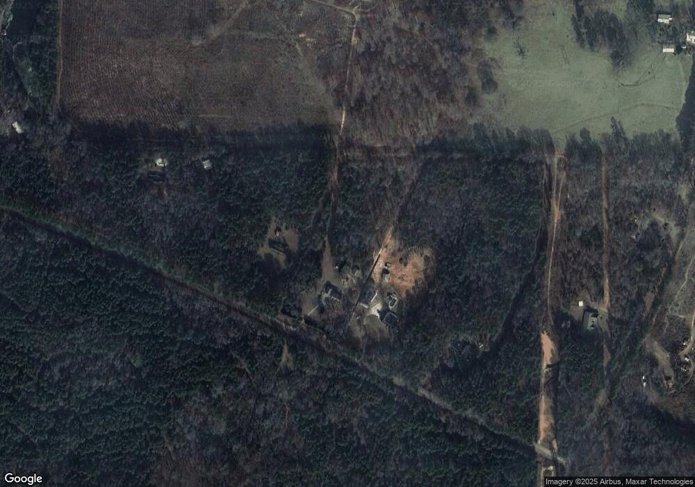
Map
Nearby Homes
- 196 Craig Rd
- 1538 Freeman Rd
- 6418 Georgia 42
- 160 Aaron Ct
- 49 Homestead Cir Unit LOT 49A
- 120 Torbet Rd
- 40 Timber Dr
- 381 Homestead Cir
- 3528 Highway 42 S
- 56 Ivey Cir
- 738 Teagle Rd
- 1649 Stokes Store Rd
- 1649 Stokes Store Rd Unit 52
- 1659 Stokes Store Rd
- 674 Stokes Store Rd
- LOT 48 Stokes Store Rd
- 49 Stokes Store Rd Unit 49
- 49 Stokes Store Rd
- 1645 Stokes Store Rd Unit 53
- 1653 Stokes Store Rd Unit 51
- 468 Craig Rd
- 464 Craig Rd
- 348 Craig Rd
- 1276 Freeman Rd
- 0 Freeman and Craig Rd Unit 8398407
- 490 Craig Rd
- 561 Freeman Rd
- 220 Craig Rd
- 1382 Freeman Rd
- 1392 Freeman Rd
- 1416 Freeman Rd
- 1440 Freeman Rd
- 153 Craig Rd
- 1322 Freeman Rd
- 466 Gordon Rd
- 0 Gordon Rd Unit 8453383
- 0 Gordon Rd Unit 8430210
- 0 Gordon Rd Unit 8320681
- 0 Gordon Rd Unit 8286264
- 0 Gordon Rd Unit 8286262