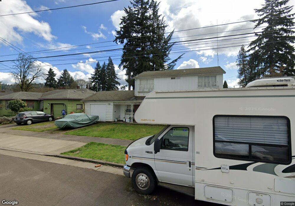
444 E Vine St Lebanon, OR 97355
Estimated Value: $384,272 - $427,000
3
Beds
2
Baths
1,808
Sq Ft
$224/Sq Ft
Est. Value
About This Home
This home is located at 444 E Vine St, Lebanon, OR 97355 and is currently estimated at $405,636, approximately $224 per square foot. 444 E Vine St is a home located in Linn County with nearby schools including Pioneer School, Lebanon High School, and East Linn Christian Academy.
Ownership History
Date
Name
Owned For
Owner Type
Purchase Details
Closed on
Dec 10, 2012
Sold by
Adams Mark R and Adams Tonya J
Bought by
Adams Mark R and Adams Tonya J
Current Estimated Value
Home Financials for this Owner
Home Financials are based on the most recent Mortgage that was taken out on this home.
Original Mortgage
$116,000
Outstanding Balance
$21,317
Interest Rate
3.35%
Mortgage Type
New Conventional
Estimated Equity
$384,319
Purchase Details
Closed on
Jan 11, 2007
Sold by
Bernards Roger A and Bernards Wendy L
Bought by
Adams Mark and Adams Tonya
Home Financials for this Owner
Home Financials are based on the most recent Mortgage that was taken out on this home.
Original Mortgage
$24,750
Interest Rate
6.12%
Mortgage Type
Stand Alone Second
Create a Home Valuation Report for This Property
The Home Valuation Report is an in-depth analysis detailing your home's value as well as a comparison with similar homes in the area
Home Values in the Area
Average Home Value in this Area
Purchase History
| Date | Buyer | Sale Price | Title Company |
|---|---|---|---|
| Adams Mark R | -- | Amerititle | |
| Adams Mark | $165,000 | Ticor Title |
Source: Public Records
Mortgage History
| Date | Status | Borrower | Loan Amount |
|---|---|---|---|
| Open | Adams Mark R | $116,000 | |
| Closed | Adams Mark | $24,750 | |
| Closed | Adams Mark | $132,000 |
Source: Public Records
Tax History Compared to Growth
Tax History
| Year | Tax Paid | Tax Assessment Tax Assessment Total Assessment is a certain percentage of the fair market value that is determined by local assessors to be the total taxable value of land and additions on the property. | Land | Improvement |
|---|---|---|---|---|
| 2024 | $4,322 | $205,670 | -- | -- |
| 2023 | $4,182 | $199,680 | $0 | $0 |
| 2022 | $4,095 | $193,870 | $0 | $0 |
| 2021 | $3,948 | $188,230 | $0 | $0 |
| 2020 | $3,900 | $182,750 | $0 | $0 |
| 2019 | $3,705 | $177,430 | $0 | $0 |
| 2018 | $3,677 | $172,270 | $0 | $0 |
| 2017 | $3,283 | $167,260 | $0 | $0 |
| 2016 | $2,967 | $162,390 | $0 | $0 |
| 2015 | $2,803 | $156,700 | $0 | $0 |
| 2014 | $2,664 | $146,460 | $0 | $0 |
Source: Public Records
Map
Nearby Homes
- 411 Mayer Dr
- 495 Carlson Dr
- 235 Cleveland St
- 151 Cleveland St
- 145 Bromil St
- 705 E Sherman St
- 121 S Williams (125) St
- 938 Cleveland St
- 20 Hiatt St
- Parcel 2 E Grant St
- 0 E Grant St Unit Parcel1 24084276
- Parcel 1 E Grant St
- 330 Wheeler Behind - Parcel 3 St
- 330 Wheeler St
- TL 600 E Oak St
- 1111 Hiatt St
- 64 W Vine St
- 178 S Main St
- 54 W Sherman St
- 0 Hiatt (Lot Unit 7000) St