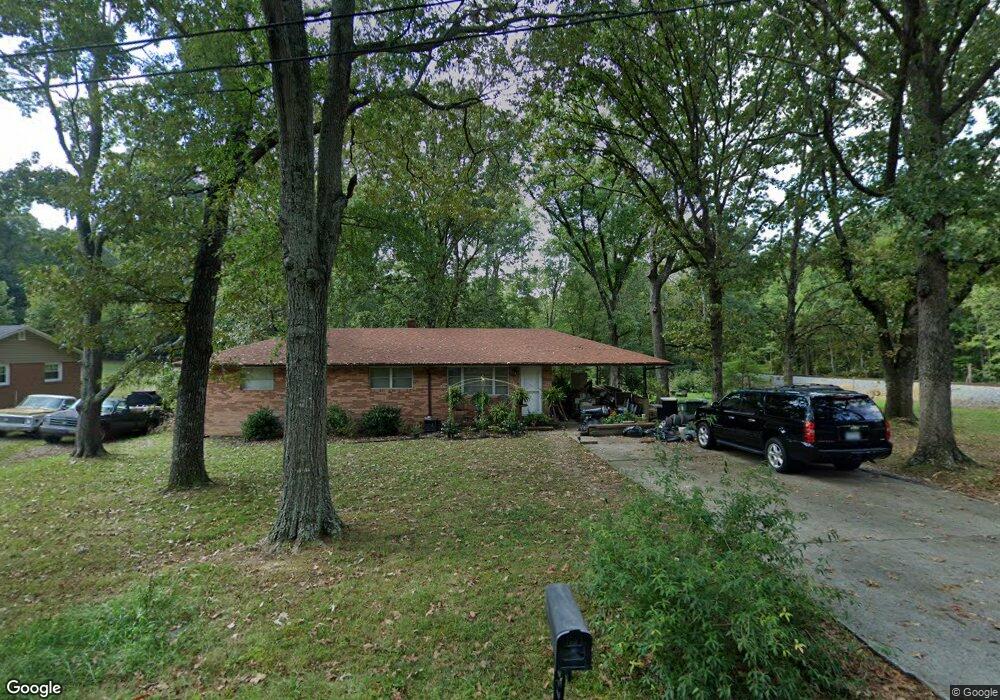
444 Hillcrest Cir Thomasville, NC 27360
Estimated Value: $187,799 - $263,000
2
Beds
1
Bath
2,240
Sq Ft
$100/Sq Ft
Est. Value
About This Home
This home is located at 444 Hillcrest Cir, Thomasville, NC 27360 and is currently estimated at $223,700, approximately $99 per square foot. 444 Hillcrest Cir is a home located in Davidson County with nearby schools including Fair Grove Elementary School, E. Lawson Brown Middle School, and East Davidson High School.
Ownership History
Date
Name
Owned For
Owner Type
Purchase Details
Closed on
Aug 3, 2005
Sold by
Hill Michael Ray and Estate Of Marvin Odell Hill
Bought by
Hill Marvin E
Current Estimated Value
Home Financials for this Owner
Home Financials are based on the most recent Mortgage that was taken out on this home.
Original Mortgage
$75,663
Outstanding Balance
$39,696
Interest Rate
5.64%
Mortgage Type
Purchase Money Mortgage
Estimated Equity
$184,004
Create a Home Valuation Report for This Property
The Home Valuation Report is an in-depth analysis detailing your home's value as well as a comparison with similar homes in the area
Home Values in the Area
Average Home Value in this Area
Purchase History
| Date | Buyer | Sale Price | Title Company |
|---|---|---|---|
| Hill Marvin E | $85,000 | None Available |
Source: Public Records
Mortgage History
| Date | Status | Borrower | Loan Amount |
|---|---|---|---|
| Open | Hill Marvin E | $75,663 |
Source: Public Records
Tax History
| Year | Tax Paid | Tax Assessment Tax Assessment Total Assessment is a certain percentage of the fair market value that is determined by local assessors to be the total taxable value of land and additions on the property. | Land | Improvement |
|---|---|---|---|---|
| 2025 | $1,255 | $109,840 | $0 | $0 |
| 2024 | $1,199 | $104,950 | $0 | $0 |
| 2023 | $1,199 | $104,950 | $0 | $0 |
| 2022 | $1,199 | $104,950 | $0 | $0 |
| 2021 | $1,199 | $104,950 | $0 | $0 |
| 2020 | $1,028 | $91,590 | $0 | $0 |
| 2019 | $1,044 | $91,590 | $0 | $0 |
| 2018 | $1,044 | $91,590 | $0 | $0 |
| 2017 | $1,044 | $91,590 | $0 | $0 |
| 2016 | $1,007 | $91,590 | $0 | $0 |
| 2015 | $1,007 | $91,590 | $0 | $0 |
| 2014 | $888 | $80,700 | $0 | $0 |
Source: Public Records
Map
Nearby Homes
- 119 Hillcrest Rd
- 104 Willowbrook Dr
- 0 Smith Dr
- 300 Willowbrook Dr
- 158 S Old Fisher Ferry Rd
- 122 S Old Fisher Ferry Rd
- 73 Harris Farm Ct
- 323 Jarrett Rd
- 143 Lambeth Rd
- 1142 Liberty Dr
- 14 Welloski Dr
- 821 Fisher Ferry St
- 406 Jack Pine St
- 32 Ranchor Dr
- 410 Jack Pine St
- 407 Jack Pine St
- 409 Jack Pine St
- 412 Jack Pine St
- 128 Kendall Mill Rd
- 414 Jack Pine St
- 446 Hillcrest Cir
- 131 Hillcrest Rd
- 129 Hillcrest Rd
- 1202 Ferndale Dr
- 425 Hillcrest Cir
- 133 Hillcrest Rd
- 127 Hillcrest Rd
- 400 Circle Place
- 1200 Ferndale Dr
- 402 Circle Place
- 137 Hillcrest Rd
- 1110 Ferndale Dr
- 128 Hillcrest Rd
- 420 Hillcrest Cir
- 123 Hillcrest Rd
- 130 Hillcrest Rd
- 134 Hillcrest Rd
- 126 Hillcrest Rd
- 1203 Ferndale Dr
- 404 Circle Place
Your Personal Tour Guide
Ask me questions while you tour the home.