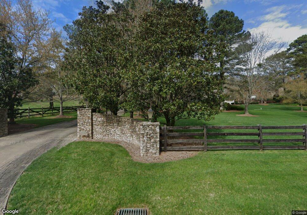
444 Huntington Rd Cedartown, GA 30125
Estimated Value: $623,000 - $885,679
4
Beds
4
Baths
3,218
Sq Ft
$234/Sq Ft
Est. Value
About This Home
This home is located at 444 Huntington Rd, Cedartown, GA 30125 and is currently estimated at $754,340, approximately $234 per square foot. 444 Huntington Rd is a home located in Polk County.
Ownership History
Date
Name
Owned For
Owner Type
Purchase Details
Closed on
Jan 20, 2012
Sold by
Tillery Roger H
Bought by
Tillery Phillip
Current Estimated Value
Purchase Details
Closed on
Dec 14, 1990
Sold by
Tillery Howard and Doris Tillery
Bought by
Tillery Roger H and Tillery Patty D
Purchase Details
Closed on
May 11, 1987
Sold by
Tillery Harvey Roger
Bought by
Tillery Patty D
Purchase Details
Closed on
Jan 1, 1983
Sold by
Tillery Howard
Bought by
Tillery Harvey R
Purchase Details
Closed on
Dec 20, 1982
Sold by
Campbell Mamie B
Bought by
Tillery Howard
Purchase Details
Closed on
Dec 14, 1982
Sold by
Campbell Mamie B
Bought by
Campbell Mamie B
Purchase Details
Closed on
May 18, 1979
Sold by
Burns William H
Bought by
Campbell Mamie B
Purchase Details
Closed on
Apr 24, 1958
Bought by
Burns William H
Create a Home Valuation Report for This Property
The Home Valuation Report is an in-depth analysis detailing your home's value as well as a comparison with similar homes in the area
Home Values in the Area
Average Home Value in this Area
Purchase History
| Date | Buyer | Sale Price | Title Company |
|---|---|---|---|
| Tillery Phillip | -- | -- | |
| Tillery Roger H | $18,000 | -- | |
| Tillery Patty D | -- | -- | |
| Tillery Harvey R | -- | -- | |
| Tillery Howard | -- | -- | |
| Campbell Mamie B | -- | -- | |
| Campbell Mamie B | -- | -- | |
| Burns William H | -- | -- |
Source: Public Records
Tax History Compared to Growth
Tax History
| Year | Tax Paid | Tax Assessment Tax Assessment Total Assessment is a certain percentage of the fair market value that is determined by local assessors to be the total taxable value of land and additions on the property. | Land | Improvement |
|---|---|---|---|---|
| 2024 | $8,068 | $387,995 | $33,072 | $354,923 |
| 2023 | $6,385 | $271,039 | $33,072 | $237,967 |
| 2022 | $5,395 | $229,347 | $22,048 | $207,299 |
| 2021 | $5,465 | $229,347 | $22,048 | $207,299 |
| 2020 | $5,477 | $229,347 | $22,048 | $207,299 |
| 2019 | $5,829 | $219,066 | $22,048 | $197,018 |
| 2018 | $5,708 | $209,141 | $22,048 | $187,093 |
| 2017 | $5,637 | $209,141 | $22,048 | $187,093 |
Source: Public Records
Map
Nearby Homes
- 00 Antioch Rd
- 95 Wieuca Way
- 766 Antioch Rd
- 000 Wieuca Way
- 0 Wieuca Way Unit 10614129
- 142 Acres On Judkin Mill Rd
- 160 Tate Rd
- 00 Buchanan Hwy
- 1987 Buchanan Hwy
- 35 Old Mill Rd
- 0 Buchanan Hwy Unit 10558945
- 0 Youngs Farm Rd Unit 24829378
- 497 Judkin Mill Rd
- 203 Cason Rd
- 4550 Buchanan Hwy
- 117 Cason Rd
- 0 Old Esom Hill Loop Unit 7654342
- 0 Old Esom Hill Loop Unit 10611077
- 205 Pinecrest Rd
- 1345 Lees Chapel Rd
- 500 Huntington Rd
- 431 Huntington Rd
- 516 Huntington Rd
- 520 Huntington Rd
- 68 Chess Jones Rd
- 38 Chess Jones Rd
- 651 Morton Springs Rd
- 641 Morton Springs Rd
- 631 Morton Springs Rd
- 617 Morton Springs Rd
- 300 Huntington Rd
- 594 Morton Springs Rd
- 597 Morton Springs Rd
- 0 Huntington Rd Unit 8137191
- 615 Huntington Rd
- 580 Morton Springs Rd
- 587 Morton Springs Rd
- 100 Chess Jones Rd
- 100 Chess Jones Rd
- 612 Huntington Rd