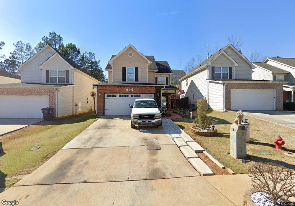
444 Kirkland Dr Locust Grove, GA 30248
Estimated Value: $265,000 - $282,429
3
Beds
3
Baths
1,916
Sq Ft
$143/Sq Ft
Est. Value
About This Home
This home is located at 444 Kirkland Dr, Locust Grove, GA 30248 and is currently estimated at $274,107, approximately $143 per square foot. 444 Kirkland Dr is a home located in Henry County with nearby schools including Locust Grove Elementary School, Locust Grove Middle School, and Locust Grove High School.
Ownership History
Date
Name
Owned For
Owner Type
Purchase Details
Closed on
Jan 5, 2007
Sold by
Edson Of Tanger Ridge Llc
Bought by
Perry Tanya C
Current Estimated Value
Home Financials for this Owner
Home Financials are based on the most recent Mortgage that was taken out on this home.
Original Mortgage
$146,900
Outstanding Balance
$86,605
Interest Rate
6.06%
Mortgage Type
New Conventional
Estimated Equity
$187,502
Create a Home Valuation Report for This Property
The Home Valuation Report is an in-depth analysis detailing your home's value as well as a comparison with similar homes in the area
Home Values in the Area
Average Home Value in this Area
Purchase History
| Date | Buyer | Sale Price | Title Company |
|---|---|---|---|
| Perry Tanya C | $146,900 | -- | |
| Edson Of Tanger Ridge Llc | -- | -- |
Source: Public Records
Mortgage History
| Date | Status | Borrower | Loan Amount |
|---|---|---|---|
| Open | Edson Of Tanger Ridge Llc | $146,900 |
Source: Public Records
Tax History Compared to Growth
Tax History
| Year | Tax Paid | Tax Assessment Tax Assessment Total Assessment is a certain percentage of the fair market value that is determined by local assessors to be the total taxable value of land and additions on the property. | Land | Improvement |
|---|---|---|---|---|
| 2025 | $3,175 | $102,480 | $16,000 | $86,480 |
| 2024 | $3,175 | $116,520 | $16,000 | $100,520 |
| 2023 | $2,715 | $115,000 | $16,000 | $99,000 |
| 2022 | $2,568 | $87,000 | $16,000 | $71,000 |
| 2021 | $2,145 | $69,000 | $16,000 | $53,000 |
| 2020 | $2,051 | $65,000 | $13,000 | $52,000 |
| 2019 | $1,928 | $58,760 | $12,000 | $46,760 |
| 2018 | $1,731 | $53,000 | $9,200 | $43,800 |
| 2016 | $1,337 | $42,280 | $8,000 | $34,280 |
| 2015 | $1,236 | $38,640 | $7,200 | $31,440 |
| 2014 | $1,025 | $33,000 | $6,200 | $26,800 |
Source: Public Records
Map
Nearby Homes
- 501 Vervain Dr
- 198 Aster Ave
- 269 Baumgard Way
- 188 Sophie Cir
- 194 Aster Ave
- 505 Vervain Dr
- 608 Lobelia Dr
- 191 Aster Ave
- 190 Aster Ave
- 186 Aster Ave
- 182 Aster Ave
- 501 Kirkland Dr
- 178 Aster Ave
- 150 Aster Ave
- Cali Plan at Cedar Ridge - Locust Grove Station
- Belfort Plan at Cedar Ridge - Locust Grove Station
- Galen Plan at Cedar Ridge - Locust Grove Station
- Hayden Plan at Cedar Ridge - Locust Grove Station
- Packard Plan at Cedar Ridge - Locust Grove Station
- Flora Plan at Cedar Ridge - Locust Grove Station
- 440 Kirkland Dr
- 438 Kirkland Dr
- 452 Kirkland Dr
- 0 Kirkland Dr Unit 3146929
- 0 Kirkland Dr Unit 3146773
- 0 Kirkland Dr Unit 3225391
- 0 Kirkland Dr Unit 3225338
- 0 Kirkland Dr Unit 7023994
- 0 Kirkland Dr Unit 7023930
- 0 Kirkland Dr Unit 8702283
- 0 Kirkland Dr Unit 8846508
- 0 Kirkland Dr Unit 8779604
- 0 Kirkland Dr Unit 8220125
- 0 Kirkland Dr Unit 7427553
- 0 Kirkland Dr Unit 7565258
- 0 Kirkland Dr Unit 7508064
- 0 Kirkland Dr Unit 3192816
- 0 Kirkland Dr Unit 7023922
- 0 Kirkland Dr Unit 3146776
- 0 Kirkland Dr Unit 8909395