Estimated Value: $239,000 - $301,000
3
Beds
2
Baths
2,066
Sq Ft
$132/Sq Ft
Est. Value
About This Home
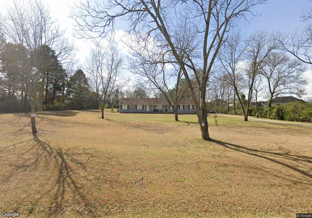
This home is located at 444 Langston Rd, Perry, GA 31069 and is currently estimated at $272,608, approximately $131 per square foot. 444 Langston Rd is a home located in Houston County with nearby schools including Langston Road Elementary School, Perry Middle School, and Perry High School.
Ownership History
Date
Name
Owned For
Owner Type
Purchase Details
Closed on
May 23, 2013
Sold by
Sutton Roy A and Sutton Earlene M
Bought by
Larrauri Elena Maria
Current Estimated Value
Home Financials for this Owner
Home Financials are based on the most recent Mortgage that was taken out on this home.
Original Mortgage
$142,590
Outstanding Balance
$99,117
Interest Rate
3.44%
Mortgage Type
New Conventional
Estimated Equity
$173,491
Purchase Details
Closed on
Sep 12, 2012
Sold by
Sutton Roy A
Bought by
Sutton Roy A and Sutton Earlene M
Purchase Details
Closed on
Jun 9, 2004
Sold by
Vance Joe R
Bought by
Vance Linda A
Purchase Details
Closed on
Nov 21, 1986
Sold by
Sutton Roy A and Sutton Earlene M
Bought by
Vance Joe R and Linda Ann
Create a Home Valuation Report for This Property
The Home Valuation Report is an in-depth analysis detailing your home's value as well as a comparison with similar homes in the area
Home Values in the Area
Average Home Value in this Area
Purchase History
| Date | Buyer | Sale Price | Title Company |
|---|---|---|---|
| Larrauri Elena Maria | $147,000 | None Available | |
| Sutton Roy A | -- | None Available | |
| Vance Linda A | -- | -- | |
| Vance Joe R | -- | -- |
Source: Public Records
Mortgage History
| Date | Status | Borrower | Loan Amount |
|---|---|---|---|
| Open | Larrauri Elena Maria | $142,590 |
Source: Public Records
Tax History
| Year | Tax Paid | Tax Assessment Tax Assessment Total Assessment is a certain percentage of the fair market value that is determined by local assessors to be the total taxable value of land and additions on the property. | Land | Improvement |
|---|---|---|---|---|
| 2025 | $1,650 | $75,520 | $15,440 | $60,080 |
| 2024 | $1,719 | $71,880 | $15,440 | $56,440 |
| 2023 | $1,478 | $61,160 | $15,280 | $45,880 |
| 2022 | $1,369 | $56,640 | $15,280 | $41,360 |
| 2021 | $1,113 | $45,800 | $7,440 | $38,360 |
| 2020 | $1,079 | $44,200 | $9,720 | $34,480 |
| 2019 | $1,079 | $44,200 | $9,720 | $34,480 |
| 2018 | $1,079 | $44,200 | $9,720 | $34,480 |
| 2017 | $1,080 | $44,200 | $9,720 | $34,480 |
| 2016 | $1,082 | $44,200 | $9,720 | $34,480 |
| 2015 | $1,084 | $44,200 | $9,720 | $34,480 |
| 2014 | -- | $44,200 | $9,720 | $34,480 |
| 2013 | -- | $44,200 | $9,720 | $34,480 |
Source: Public Records
Map
Nearby Homes
- 210 Overton Dr
- 119 Magnum Way
- 3004 Cellar Ln
- 118 Bramblewood Way
- 111 Breakwater Way
- 204 Sutton Dr
- 206 Sutton Dr
- 127 Bramblewood Ln
- 117 Bramblewood Ln
- 119 Bramblewood Ln
- 115 Bramblewood Ln
- 0 Langston Rd Unit 16828609
- 0 Hwy 41 & Langston Rd Unit M170042
- 211 Sugar Creek Trail
- 209 Sugar Creek Trail
- 207 Sugar Creek Trail
- 205 Sugar Creek Trail
- 203 Sugar Creek Trail
- 204 Sugar Creek Trail
- 121 Saraland Trail
- 442 Langston Rd
- 208 Brampton Way
- 210 Brampton Way
- 206 Brampton Way
- 123 Magnum Way
- 121 Magnum Way
- 443 Langston Rd
- 258 Overton Dr
- 441 Langston Rd
- 117 Magnum Way
- 113 Magnum Way
- 125 Magnum Way
- 115 Magnum Way
- 212 Brampton Way
- 212 Overton Dr
- 211 Overton Dr
- 223 Overton Dr
- 213 Overton Dr
- 222 Overton Dr
- 215 Overton Dr
Your Personal Tour Guide
Ask me questions while you tour the home.