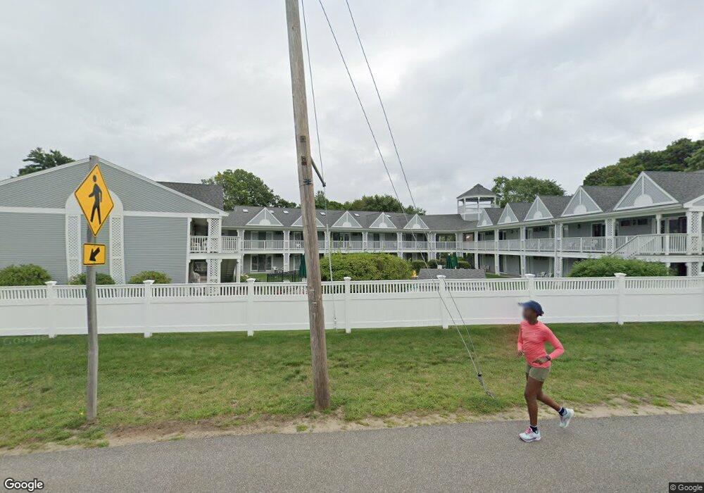
444 Main St Unit 115 Ogunquit, ME 03907
Ogunquit NeighborhoodEstimated Value: $432,000 - $502,000
1
Bed
1
Bath
650
Sq Ft
$706/Sq Ft
Est. Value
About This Home
This home is located at 444 Main St Unit 115, Ogunquit, ME 03907 and is currently estimated at $458,878, approximately $705 per square foot. 444 Main St Unit 115 is a home located in York County with nearby schools including Wells Junior High School, Wells Elementary School, and Wells High School.
Ownership History
Date
Name
Owned For
Owner Type
Purchase Details
Closed on
Apr 22, 2008
Sold by
Donovan Paul R and Donovan Helen S
Bought by
Lajoie David A
Current Estimated Value
Home Financials for this Owner
Home Financials are based on the most recent Mortgage that was taken out on this home.
Original Mortgage
$198,000
Outstanding Balance
$126,273
Interest Rate
6.1%
Mortgage Type
Unknown
Estimated Equity
$332,605
Create a Home Valuation Report for This Property
The Home Valuation Report is an in-depth analysis detailing your home's value as well as a comparison with similar homes in the area
Home Values in the Area
Average Home Value in this Area
Purchase History
| Date | Buyer | Sale Price | Title Company |
|---|---|---|---|
| Lajoie David A | -- | -- |
Source: Public Records
Mortgage History
| Date | Status | Borrower | Loan Amount |
|---|---|---|---|
| Open | Lajoie David A | $198,000 |
Source: Public Records
Tax History
| Year | Tax Paid | Tax Assessment Tax Assessment Total Assessment is a certain percentage of the fair market value that is determined by local assessors to be the total taxable value of land and additions on the property. | Land | Improvement |
|---|---|---|---|---|
| 2024 | $2,036 | $315,100 | $75,000 | $240,100 |
| 2023 | $2,036 | $315,100 | $75,000 | $240,100 |
| 2022 | $1,991 | $315,100 | $75,000 | $240,100 |
| 2021 | $1,540 | $189,200 | $5,300 | $183,900 |
| 2020 | $1,514 | $189,200 | $5,300 | $183,900 |
| 2019 | $1,514 | $189,200 | $5,300 | $183,900 |
| 2018 | $1,497 | $189,200 | $5,300 | $183,900 |
| 2017 | $1,434 | $189,200 | $5,300 | $183,900 |
| 2016 | $1,810 | $223,700 | $5,300 | $218,400 |
| 2015 | $1,805 | $223,700 | $5,300 | $218,400 |
| 2014 | $1,736 | $223,700 | $5,300 | $218,400 |
Source: Public Records
Map
Nearby Homes
- 444 Main St Unit 112
- 488 Main St Unit 7
- 14 Valleybrook Rd Unit 14
- 25 Shore Rd Unit A
- 20 Shore Rd Unit 2A,B,C,D
- 69 Cottage St
- 22 Adams Ln
- 31 Rebecca Rd
- 200 Shore Rd
- 55 Israel Head Rd Unit 203
- 14 Maple St
- 33 Rocky Ln
- 67 Cherry Ln
- 76 Post Rd Unit 21M
- 0 Cooley Ln
- 191 Tatnic Rd Unit 73
- 9 Bourne Ave Unit B6
- 47 Village Green Dr
- 168 Ocean Ave
- 413 Shore Rd
- 444 Main St Unit 216
- 444 Main St Unit 215
- 444 Main St Unit 214
- 444 Main St Unit 213
- 444 Main St Unit 212
- 444 Main St Unit 211
- 444 Main St Unit 210
- 444 Main St Unit 209
- 444 Main St Unit 208
- 444 Main St Unit 207
- 444 Main St Unit 206
- 444 Main St Unit 205
- 444 Main St Unit 204
- 444 Main St Unit 203
- 444 Main St Unit 202
- 444 Main St Unit 201
- 444 Main St Unit 116
- 444 Main St Unit 114
- 444 Main St Unit 113
- 444 Main St Unit 111
Your Personal Tour Guide
Ask me questions while you tour the home.