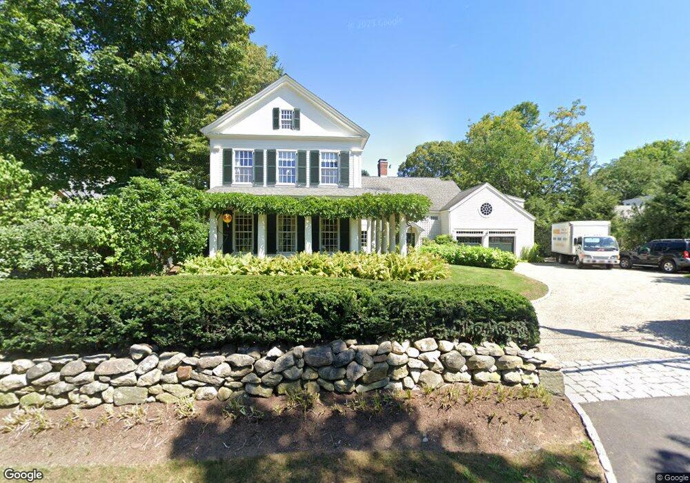
444 Monument St Concord, MA 01742
Estimated Value: $3,610,439 - $4,419,000
4
Beds
4
Baths
6,223
Sq Ft
$665/Sq Ft
Est. Value
About This Home
This home is located at 444 Monument St, Concord, MA 01742 and is currently estimated at $4,139,146, approximately $665 per square foot. 444 Monument St is a home located in Middlesex County with nearby schools including Alcott Elementary School, Concord Middle School, and Concord Carlisle High School.
Ownership History
Date
Name
Owned For
Owner Type
Purchase Details
Closed on
Aug 18, 2006
Sold by
Kent Malcolm P and Kent Margot Lynne
Bought by
Dimancescu Dan and Dimancescu Katherine
Current Estimated Value
Home Financials for this Owner
Home Financials are based on the most recent Mortgage that was taken out on this home.
Original Mortgage
$1,000,000
Outstanding Balance
$604,289
Interest Rate
6.88%
Mortgage Type
Purchase Money Mortgage
Estimated Equity
$3,534,857
Purchase Details
Closed on
May 1, 1998
Sold by
A L Smith T and Tuthill John
Bought by
Kent Malcolm P and Kent Margot L
Home Financials for this Owner
Home Financials are based on the most recent Mortgage that was taken out on this home.
Original Mortgage
$400,000
Interest Rate
7.04%
Mortgage Type
Purchase Money Mortgage
Create a Home Valuation Report for This Property
The Home Valuation Report is an in-depth analysis detailing your home's value as well as a comparison with similar homes in the area
Home Values in the Area
Average Home Value in this Area
Purchase History
| Date | Buyer | Sale Price | Title Company |
|---|---|---|---|
| Dimancescu Dan | $2,845,000 | -- | |
| Kent Malcolm P | $530,000 | -- |
Source: Public Records
Mortgage History
| Date | Status | Borrower | Loan Amount |
|---|---|---|---|
| Open | Dimancescu Dan | $1,000,000 | |
| Previous Owner | Kent Malcolm P | $400,000 |
Source: Public Records
Tax History
| Year | Tax Paid | Tax Assessment Tax Assessment Total Assessment is a certain percentage of the fair market value that is determined by local assessors to be the total taxable value of land and additions on the property. | Land | Improvement |
|---|---|---|---|---|
| 2025 | $464 | $3,502,700 | $1,086,200 | $2,416,500 |
| 2024 | $45,990 | $3,502,700 | $1,086,200 | $2,416,500 |
| 2023 | $35,665 | $2,751,900 | $813,300 | $1,938,600 |
| 2022 | $31,665 | $2,145,300 | $650,500 | $1,494,800 |
| 2021 | $35,204 | $2,391,600 | $813,200 | $1,578,400 |
| 2020 | $35,905 | $2,523,200 | $859,600 | $1,663,600 |
| 2019 | $36,399 | $2,565,100 | $857,000 | $1,708,100 |
| 2018 | $33,910 | $2,373,000 | $816,200 | $1,556,800 |
| 2017 | $32,568 | $2,314,700 | $793,600 | $1,521,100 |
| 2016 | $34,207 | $2,457,400 | $879,500 | $1,577,900 |
| 2015 | $34,130 | $2,388,400 | $856,200 | $1,532,200 |
Source: Public Records
Map
Nearby Homes
- 735 Lowell Rd
- 735 Lowell Rd Lot 1 Land
- 50 Wayside Rd
- 29 Willard Common
- 49 Willard Common
- 105 Lexington Rd
- 46 Sudbury Rd
- 96 Independence Rd
- 34 Thoreau St
- 34 Thoreau St Unit 34
- 32 Thoreau St Unit 32
- 150 Hubbard St Unit B
- 22 Belknap Ct
- 106 Elm St
- 181 Stow St
- 244 Musterfield Rd
- 59 Elm St
- 308 Musterfield Rd
- 265 Elsinore St
- 143 Everett St
- 454 Monument St
- 422 Monument St Unit A
- 418 Monument St
- 412 Monument St
- 404 Monument St
- 475 Monument St
- 394 Monument St
- 495 Monument St
- 60 Cedar Way
- 531 Monument St
- 41 Great Meadows Rd
- 63 Cedar Way
- 11 Cedar Way
- 45 Estabrook Rd
- 13 Estabrook Rd
- 577 Monument St
- 81 Carr Rd
- 95 Red Coat Ln
- 68 Great Meadows Rd
- 82 Estabrook Rd
Your Personal Tour Guide
Ask me questions while you tour the home.