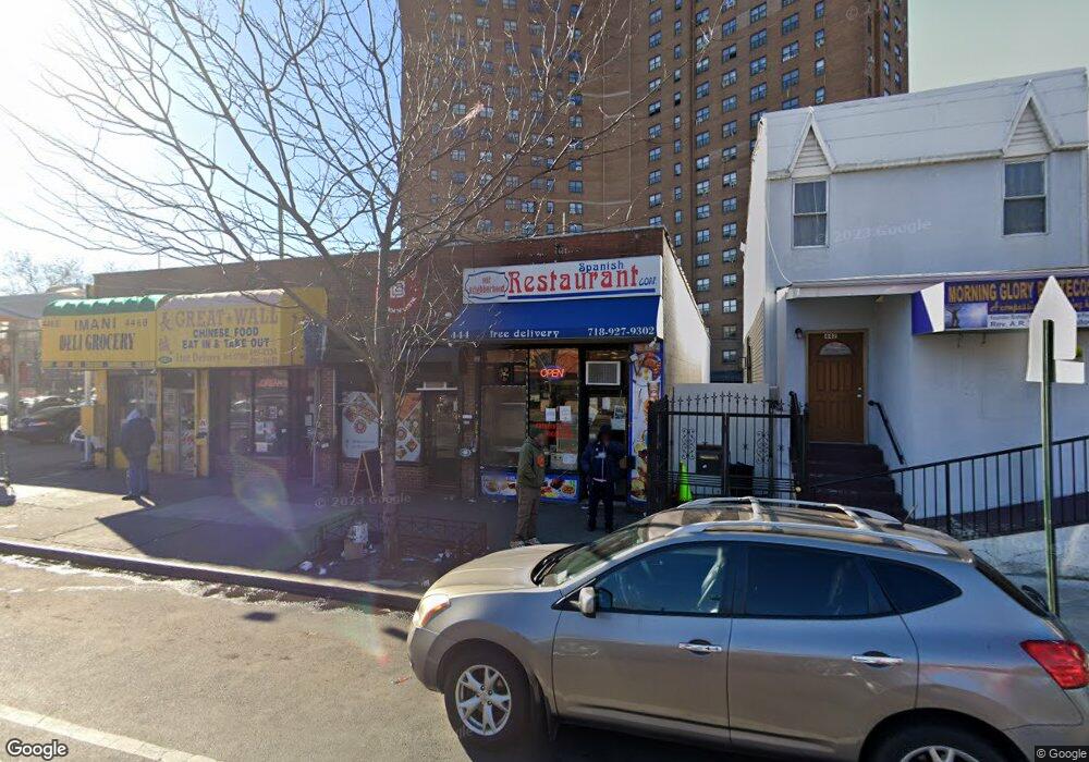
444 Mother Gaston Blvd Brooklyn, NY 11212
Brownsville NeighborhoodEstimated Value: $2,351,196
--
Bed
--
Bath
5,000
Sq Ft
$470/Sq Ft
Est. Value
About This Home
This home is located at 444 Mother Gaston Blvd, Brooklyn, NY 11212 and is currently estimated at $2,351,196, approximately $470 per square foot. 444 Mother Gaston Blvd is a home located in Kings County with nearby schools including P.S. 150 - Christopher, P.S. 156 Waverly, and P.S. Is 155 Nicholas Herkimer.
Ownership History
Date
Name
Owned For
Owner Type
Purchase Details
Closed on
Sep 25, 2012
Sold by
Parcel 93 Corp % Philip Teller
Bought by
Cf Lucky Llc
Current Estimated Value
Home Financials for this Owner
Home Financials are based on the most recent Mortgage that was taken out on this home.
Original Mortgage
$600,000
Outstanding Balance
$418,405
Interest Rate
3.66%
Mortgage Type
Commercial
Estimated Equity
$1,863,068
Create a Home Valuation Report for This Property
The Home Valuation Report is an in-depth analysis detailing your home's value as well as a comparison with similar homes in the area
Home Values in the Area
Average Home Value in this Area
Purchase History
| Date | Buyer | Sale Price | Title Company |
|---|---|---|---|
| Cf Lucky Llc | $1,250,000 | -- |
Source: Public Records
Mortgage History
| Date | Status | Borrower | Loan Amount |
|---|---|---|---|
| Open | Cf Lucky Llc | $600,000 |
Source: Public Records
Tax History Compared to Growth
Tax History
| Year | Tax Paid | Tax Assessment Tax Assessment Total Assessment is a certain percentage of the fair market value that is determined by local assessors to be the total taxable value of land and additions on the property. | Land | Improvement |
|---|---|---|---|---|
| 2025 | $26,415 | $289,350 | $78,750 | $210,600 |
| 2024 | $26,415 | $260,100 | $78,750 | $181,350 |
| 2023 | $26,713 | $274,050 | $78,750 | $195,300 |
| 2022 | $26,541 | $261,900 | $78,750 | $183,150 |
| 2021 | $19,538 | $182,700 | $78,750 | $103,950 |
| 2020 | $12,032 | $268,200 | $78,750 | $189,450 |
| 2019 | $20,799 | $267,750 | $78,750 | $189,000 |
| 2018 | $17,922 | $253,350 | $78,750 | $174,600 |
| 2017 | $15,452 | $164,700 | $78,750 | $85,950 |
| 2016 | $15,817 | $154,800 | $78,750 | $76,050 |
| 2015 | $10,615 | $148,500 | $78,750 | $69,750 |
| 2014 | $10,615 | $130,950 | $78,750 | $52,200 |
Source: Public Records
Map
Nearby Homes
- 101 Belmont Ave
- 105 Belmont Ave
- 1782 Pitkin Ave
- 117 Osborn St
- 548 Rockaway Ave
- 440 Blake Ave
- 67 Chester St Unit 3
- 51 Chester St
- 343 Rockaway Ave
- 601 Thomas S Boyland St
- 600 Thomas S Boyland St
- 297 Hinsdale St
- 1936 Prospect Place
- 1585 Pitkin Ave
- 406 Hinsdale St
- 124 Herzl St
- 96 Herzl St
- 1719 E New York Ave
- 2358 Pacific St
- 2349 Dean St
- 446A Mother Gaston Blvd
- 442 Mother Gaston Blvd
- 438 Mother Gaston Blvd
- 345 Sutter Ave
- 432 Mother Gaston Blvd
- 436 Mother Gaston Blvd
- 447 Mother Gaston Blvd
- 430 Mother Gaston Blvd
- 426 Mother Gaston Blvd
- 443 Mother Gaston Blvd
- 441 Mother Gaston Blvd
- 439 Mother Gaston Blvd
- 449 Mother Gaston Blvd
- 453 Mother Gaston Blvd
- 437 Mother Gaston Blvd
- 424 Mother Gaston Blvd
- 431 Mother Gaston Blvd
- 455-457 Mother Gaston Blvd
- 422 Mother Gaston Blvd
- 429 Mother Gaston Blvd