444 Mountain Top Lodge Rd Dahlonega, GA 30533
Estimated Value: $188,000 - $317,000
--
Bed
2
Baths
1,012
Sq Ft
$235/Sq Ft
Est. Value
About This Home
This home is located at 444 Mountain Top Lodge Rd, Dahlonega, GA 30533 and is currently estimated at $237,818, approximately $234 per square foot. 444 Mountain Top Lodge Rd is a home located in Lumpkin County with nearby schools including Clay County Middle School and Lumpkin County High School.
Ownership History
Date
Name
Owned For
Owner Type
Purchase Details
Closed on
Dec 1, 2017
Sold by
Young Beatrice Therese
Bought by
Carmody Paul J
Current Estimated Value
Purchase Details
Closed on
Jul 8, 2009
Sold by
Young Eugene W
Bought by
Young Beatrice T
Purchase Details
Closed on
Sep 29, 1995
Sold by
Clark Joel L
Bought by
Young Eugene W
Purchase Details
Closed on
Apr 15, 1988
Bought by
Clark Joel L
Create a Home Valuation Report for This Property
The Home Valuation Report is an in-depth analysis detailing your home's value as well as a comparison with similar homes in the area
Home Values in the Area
Average Home Value in this Area
Purchase History
| Date | Buyer | Sale Price | Title Company |
|---|---|---|---|
| Carmody Paul J | $75,000 | -- | |
| Young Beatrice T | -- | -- | |
| Young Eugene W | $70,000 | -- | |
| Clark Joel L | $62,000 | -- |
Source: Public Records
Tax History Compared to Growth
Tax History
| Year | Tax Paid | Tax Assessment Tax Assessment Total Assessment is a certain percentage of the fair market value that is determined by local assessors to be the total taxable value of land and additions on the property. | Land | Improvement |
|---|---|---|---|---|
| 2024 | $1,833 | $76,460 | $9,781 | $66,679 |
| 2023 | $1,690 | $71,830 | $9,781 | $62,049 |
| 2022 | $1,446 | $58,416 | $8,153 | $50,263 |
| 2021 | $997 | $38,931 | $8,153 | $30,778 |
| 2020 | $996 | $37,737 | $7,807 | $29,930 |
| 2019 | $1,005 | $37,737 | $7,807 | $29,930 |
| 2018 | $980 | $34,540 | $7,807 | $26,733 |
| 2017 | $0 | $33,953 | $7,807 | $26,146 |
| 2016 | $861 | $30,741 | $7,807 | $22,934 |
| 2015 | -- | $30,742 | $7,807 | $22,934 |
| 2014 | -- | $31,351 | $7,807 | $23,544 |
| 2013 | -- | $31,698 | $7,807 | $23,890 |
Source: Public Records
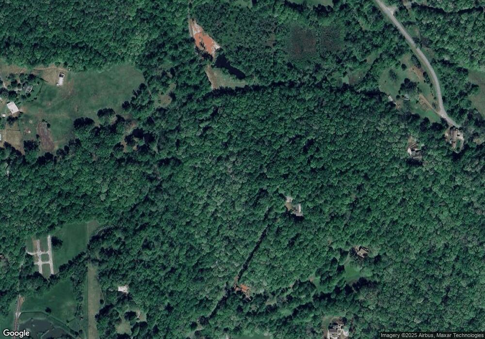
Map
Nearby Homes
- 120 Sanders Blvd
- 0 Woodland Ln Unit 10570991
- 7B Strada Valdichiana
- 100 Sanders Blvd
- 549 Ivy Terrace
- 132 J Mountain Dr
- 931 Homer Edwards Rd
- 121 Blair Ridge Rd
- 1202 Oak Grove Rd
- 120 Blair Ridge Rd
- 64 Hickory Ln
- 253 Blair Ridge Rd
- 114 Funaro Ln
- 1047 Nugget Ct
- 0 Dawsonville Hwy Unit 10631159
- 00 Dawsonville Hwy
- 490 N Hall Rd
- 70 Avery Trail
- 775 Crooked Creek Dr
- 456 Mountain Top Lodge Rd
- 381 White Mountain Trail
- 447 Mountain Top Lodge Rd
- 63 Mountain Top Lodge Rd
- 115 Mountain Top Lodge Rd
- 00 TRACTS Mountain Top Lodge Rd
- 200 Mountain Top Lodge Rd
- 200 Mountain Lodge Rd
- 893 Clay Creek Falls Rd
- 625 Old Ellijay Rd E
- 909 Clay Creek Falls Rd
- 0 Clay Creek Falls Rd Unit 116.7+/- ac 8157272
- 00 Clay Creek Falls Rd
- 0 Clay Creek Falls Rd
- 0 Clay Creek Falls Rd Unit 85+/- 20036217
- 0 Clay Creek Falls Rd Unit 7284817
- 0 Clay Creek Falls Rd Unit 7128273
- 0 Clay Creek Falls Rd Unit 38+/- 8950153
- 0 Clay Creek Falls Rd Unit 21 +/- Ac 8950148
- 0 Clay Creek Falls Rd Unit 6830319