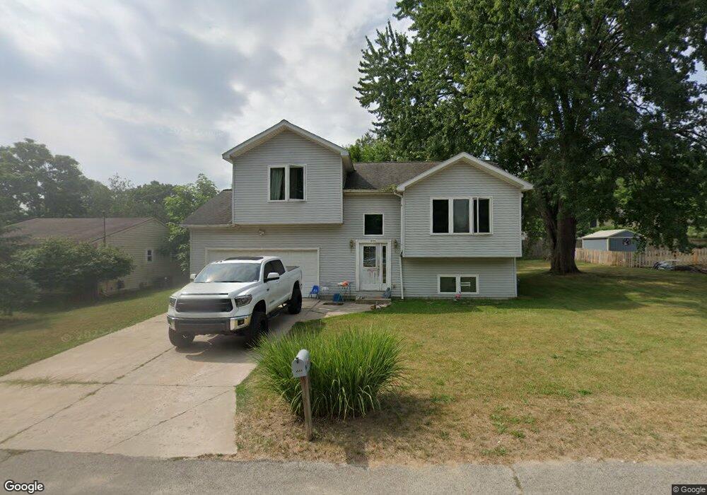
444 Stowell St NW Comstock Park, MI 49321
Estimated Value: $284,000 - $312,000
3
Beds
2
Baths
2,300
Sq Ft
$131/Sq Ft
Est. Value
About This Home
This home is located at 444 Stowell St NW, Comstock Park, MI 49321 and is currently estimated at $301,000, approximately $130 per square foot. 444 Stowell St NW is a home located in Kent County with nearby schools including Stoney Creek Elementary School, Pine Island Elementary School, and Mill Creek Middle School.
Ownership History
Date
Name
Owned For
Owner Type
Purchase Details
Closed on
Mar 30, 2007
Sold by
Mulder Donald S
Bought by
Hang Loi T
Current Estimated Value
Home Financials for this Owner
Home Financials are based on the most recent Mortgage that was taken out on this home.
Original Mortgage
$124,200
Outstanding Balance
$75,301
Interest Rate
6.2%
Mortgage Type
New Conventional
Estimated Equity
$225,699
Purchase Details
Closed on
Aug 8, 2005
Sold by
Mulder Donald S
Bought by
Mulder Donald S
Create a Home Valuation Report for This Property
The Home Valuation Report is an in-depth analysis detailing your home's value as well as a comparison with similar homes in the area
Home Values in the Area
Average Home Value in this Area
Purchase History
| Date | Buyer | Sale Price | Title Company |
|---|---|---|---|
| Hang Loi T | $138,000 | None Available | |
| Mulder Donald S | -- | -- |
Source: Public Records
Mortgage History
| Date | Status | Borrower | Loan Amount |
|---|---|---|---|
| Open | Hang Loi T | $124,200 |
Source: Public Records
Tax History Compared to Growth
Tax History
| Year | Tax Paid | Tax Assessment Tax Assessment Total Assessment is a certain percentage of the fair market value that is determined by local assessors to be the total taxable value of land and additions on the property. | Land | Improvement |
|---|---|---|---|---|
| 2025 | $2,161 | $138,800 | $0 | $0 |
| 2024 | $2,161 | $133,300 | $0 | $0 |
| 2023 | $2,065 | $118,900 | $0 | $0 |
| 2022 | $2,527 | $91,300 | $0 | $0 |
| 2021 | $2,461 | $85,700 | $0 | $0 |
| 2020 | $1,896 | $84,800 | $0 | $0 |
| 2019 | $2,204 | $70,800 | $0 | $0 |
| 2018 | $2,158 | $70,800 | $0 | $0 |
| 2017 | $2,102 | $66,700 | $0 | $0 |
| 2016 | $2,029 | $63,900 | $0 | $0 |
| 2015 | -- | $63,900 | $0 | $0 |
| 2013 | -- | $63,700 | $0 | $0 |
Source: Public Records
Map
Nearby Homes
- 236 4 Mile Rd NW
- 319 Greenridge Dr NW
- 211 York View Place NW
- 134 Mabel St NW
- 264 Mabel St NW Unit 55
- 276 Mabel St NW Unit 54
- 3343 Springbrook Dr NW
- 583 Kingsbury St NW
- Wilshire Plan at The Range
- Remington Plan at The Range
- Linden Plan at The Range
- Enclave Plan at The Range
- Croswell Plan at The Range
- Cascade Plan at The Range
- Carson Plan at The Range
- Avery Plan at The Range
- Ashton Plan at The Range
- Andover Plan at The Range
- 981 Ellerston St NW
- 4010 Woodrush Ln NW Unit 40
- 426 Stowell St NW
- 420 Stowell St NW
- 448 Stowell St NW
- 431 Brady St NW
- 433 Brady St NW
- 425 Stowell St NW
- 402 Stowell St NW
- 443 Stowell St NW
- 409 Brady St NW
- 449 Brady St NW
- 401 Stowell St NW
- 452 Stowell St NW
- 420 Dana St NW
- 461 Brady St NW
- 408 Dana St NW
- 442 Dana St NW
- 430 Brady St NW
- 448 Dana St NW
- 420 Brady St NW
- 442 Brady St NW