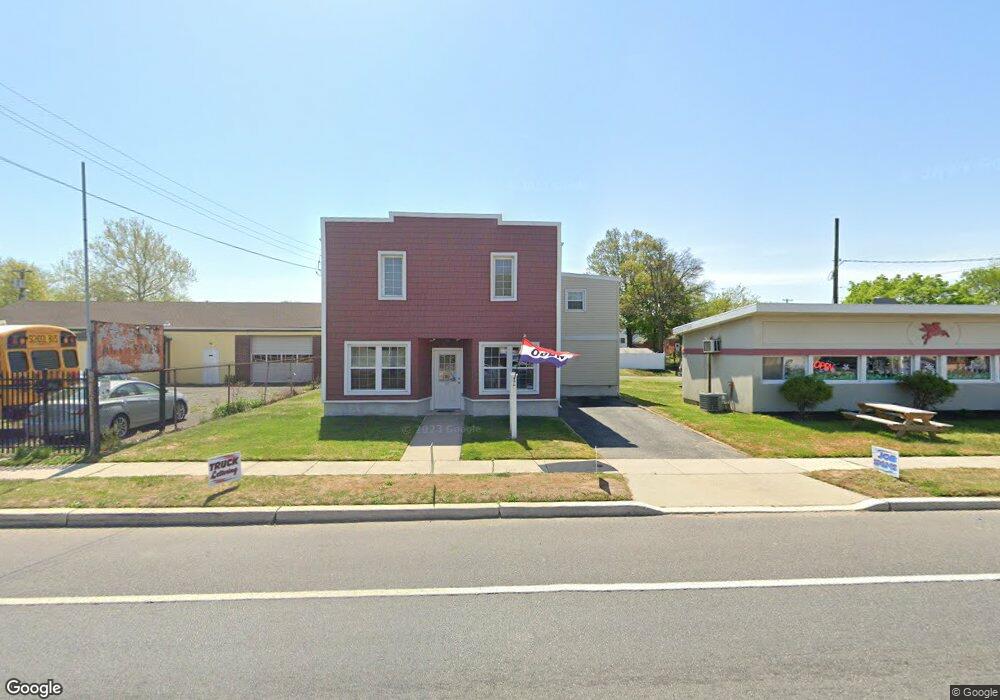
444 W Broad St Paulsboro, NJ 08066
--
Bed
--
Bath
2,212
Sq Ft
7,492
Sq Ft Lot
About This Home
This home is located at 444 W Broad St, Paulsboro, NJ 08066. 444 W Broad St is a home located in Gloucester County with nearby schools including Billingsport Elementary School, Loudenslager Elementary School, and Paulsboro High School.
Ownership History
Date
Name
Owned For
Owner Type
Purchase Details
Closed on
May 19, 2004
Sold by
Nagler Eleanor
Bought by
Harris Thomas E and Harris Linda J
Home Financials for this Owner
Home Financials are based on the most recent Mortgage that was taken out on this home.
Original Mortgage
$75,000
Outstanding Balance
$36,249
Interest Rate
5.94%
Mortgage Type
Commercial
Create a Home Valuation Report for This Property
The Home Valuation Report is an in-depth analysis detailing your home's value as well as a comparison with similar homes in the area
Home Values in the Area
Average Home Value in this Area
Purchase History
| Date | Buyer | Sale Price | Title Company |
|---|---|---|---|
| Harris Thomas E | $70,000 | Group 21 Title Agency |
Source: Public Records
Mortgage History
| Date | Status | Borrower | Loan Amount |
|---|---|---|---|
| Open | Harris Thomas E | $75,000 |
Source: Public Records
Tax History Compared to Growth
Tax History
| Year | Tax Paid | Tax Assessment Tax Assessment Total Assessment is a certain percentage of the fair market value that is determined by local assessors to be the total taxable value of land and additions on the property. | Land | Improvement |
|---|---|---|---|---|
| 2025 | $8,281 | $188,200 | $72,300 | $115,900 |
| 2024 | $8,273 | $188,200 | $72,300 | $115,900 |
| 2023 | $8,273 | $188,200 | $72,300 | $115,900 |
| 2022 | $8,123 | $188,200 | $72,300 | $115,900 |
| 2021 | $7,965 | $188,200 | $72,300 | $115,900 |
| 2020 | $7,916 | $188,200 | $72,300 | $115,900 |
| 2019 | $7,667 | $188,200 | $72,300 | $115,900 |
| 2018 | $7,229 | $188,200 | $72,300 | $115,900 |
| 2017 | $7,199 | $188,200 | $72,300 | $115,900 |
| 2016 | $6,858 | $188,200 | $72,300 | $115,900 |
| 2015 | $6,677 | $166,800 | $72,300 | $94,500 |
| 2014 | $5,625 | $167,000 | $72,300 | $94,700 |
Source: Public Records
Map
Nearby Homes
- 219 Vanneman Blvd
- L18 20 W Broad St
- 335 W Buck St
- 344 W Washington St
- 255 Elizabeth Ave
- 269 W Broad St
- 836 E Broad St
- 1043 Penn Line Rd
- 227 W Buck St
- 1214 Walter Ave
- 1534 Pine St
- 330 Croce Ave
- 1519 Pine St
- 122 W Washington St
- 129 W Washington St
- 1224 Heddon Ave
- 140 142 W Jefferson St
- 28 W Jefferson St
- 21 W Adams St
- 11 W Washington St
- 448 W Broad St
- 438 W Broad St
- 445 Thomson Ave
- 451 Thomson Ave
- 443 1/2 Thomson Ave
- 443 Thomson Ave Unit M27
- 441 Thomson Ave
- 439 1/2 Thomson Ave
- 432 W Broad St
- 439 Thomson Ave
- 439 Thomson Ave Unit M27
- 501 W Broad St
- 437 Thomson Ave
- 457 Thomson Ave
- 453-455 W Broad St
- 455 W Broad St Unit A
- 453 W Broad St Unit B
- 453 W Broad St Unit 455
- 453 455 W Broad St
- 435 1/2 Thomson Ave