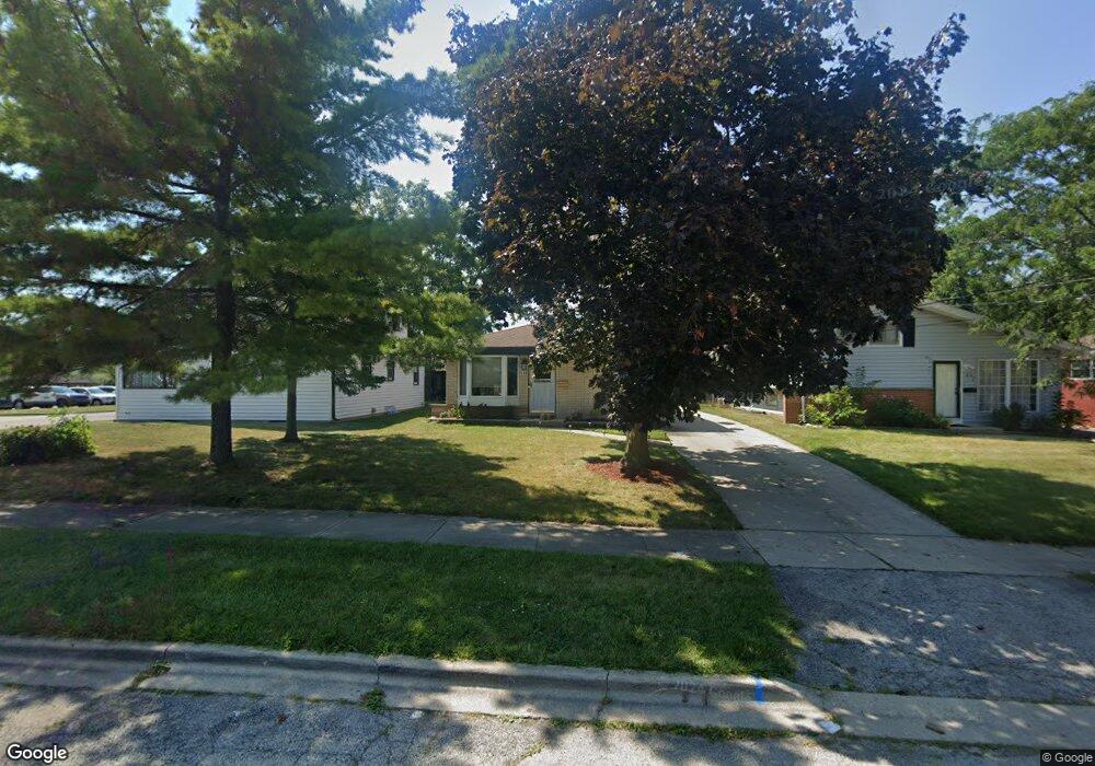
444 Whidden Ave Waukegan, IL 60085
West Waukegan NeighborhoodEstimated Value: $221,000 - $255,000
3
Beds
2
Baths
1,000
Sq Ft
$238/Sq Ft
Est. Value
About This Home
This home is located at 444 Whidden Ave, Waukegan, IL 60085 and is currently estimated at $238,062, approximately $238 per square foot. 444 Whidden Ave is a home located in Lake County with nearby schools including Washington Elementary School, Robert E. Abbott Middle School, and Waukegan High School.
Ownership History
Date
Name
Owned For
Owner Type
Purchase Details
Closed on
Aug 5, 2011
Sold by
Grum Helen M and Grum William M
Bought by
Corona Oscar and Corona Adonia
Current Estimated Value
Home Financials for this Owner
Home Financials are based on the most recent Mortgage that was taken out on this home.
Original Mortgage
$107,113
Outstanding Balance
$74,783
Interest Rate
4.75%
Mortgage Type
FHA
Estimated Equity
$163,279
Create a Home Valuation Report for This Property
The Home Valuation Report is an in-depth analysis detailing your home's value as well as a comparison with similar homes in the area
Home Values in the Area
Average Home Value in this Area
Purchase History
| Date | Buyer | Sale Price | Title Company |
|---|---|---|---|
| Corona Oscar | $110,000 | Fidelity National Title |
Source: Public Records
Mortgage History
| Date | Status | Borrower | Loan Amount |
|---|---|---|---|
| Open | Corona Oscar | $107,113 |
Source: Public Records
Tax History Compared to Growth
Tax History
| Year | Tax Paid | Tax Assessment Tax Assessment Total Assessment is a certain percentage of the fair market value that is determined by local assessors to be the total taxable value of land and additions on the property. | Land | Improvement |
|---|---|---|---|---|
| 2024 | $3,941 | $55,662 | $7,117 | $48,545 |
| 2023 | $3,867 | $49,791 | $6,366 | $43,425 |
| 2022 | $3,867 | $45,559 | $5,651 | $39,908 |
| 2021 | $3,344 | $38,073 | $4,860 | $33,213 |
| 2020 | $3,341 | $35,470 | $4,528 | $30,942 |
| 2019 | $3,309 | $32,502 | $4,149 | $28,353 |
| 2018 | $2,784 | $27,915 | $5,873 | $22,042 |
| 2017 | $2,660 | $24,697 | $5,196 | $19,501 |
| 2016 | $2,389 | $21,461 | $4,515 | $16,946 |
| 2015 | $2,231 | $19,208 | $4,041 | $15,167 |
| 2014 | $3,014 | $23,350 | $4,176 | $19,174 |
| 2012 | $3,955 | $25,298 | $4,525 | $20,773 |
Source: Public Records
Map
Nearby Homes
- 12601 W Atlantic Ave
- 2116 & 2101 Williamsburg Dr
- 2726 W Hidden Glen Dr
- 49 S Lewis Ave
- 24 Washington Terrace
- 3027 Belvidere Rd
- 1521 Catalpa Ave
- 102 Baldwin Ave
- 819 S Fulton Ave
- 132 Dorchester Ct
- 671 Oldsmar Ln
- 0 Brookside Ave
- 1416 Hamilton Ct
- 446 S Jackson St
- 3159 Jeanette Ave
- 3298 7th St
- 1712 11th St
- 2115 Lydia St
- 3285 Meadow Dr
- 910 Cummings Ave
- 442 Whidden Ave
- 448 Whidden Ave
- 438 Whidden Ave
- 2410 Dodge Ave
- 2414 Dodge Ave
- 2320 Dodge Ave
- 2318 Dodge Ave
- 445 Keller Ave
- 441 Keller Ave
- 2422 Dodge Ave
- 437 Keller Ave
- 435 Keller Ave
- 433 Whidden Ave
- 431 Keller Ave
- 2314 Dodge Ave
- 427 Keller Ave
- 419 Keller Ave
- 2310 Dodge Ave
- 425 Keller Ave
- 2924 & 2926 Brookside Ave