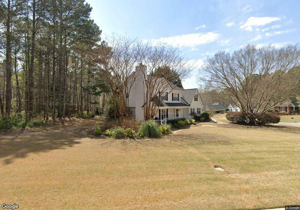
444 Wisteria Place Cir Grayson, GA 30017
Estimated Value: $392,000 - $396,000
4
Beds
3
Baths
1,785
Sq Ft
$221/Sq Ft
Est. Value
About This Home
This home is located at 444 Wisteria Place Cir, Grayson, GA 30017 and is currently estimated at $394,964, approximately $221 per square foot. 444 Wisteria Place Cir is a home located in Gwinnett County with nearby schools including W.J. Cooper Elementary School, McConnell Middle School, and Archer High School.
Ownership History
Date
Name
Owned For
Owner Type
Purchase Details
Closed on
Dec 29, 2016
Sold by
Robinson Blake S and Robinson Kelli A
Bought by
Smith Ashley Price and Smith Christie Anmette
Current Estimated Value
Home Financials for this Owner
Home Financials are based on the most recent Mortgage that was taken out on this home.
Original Mortgage
$193,431
Outstanding Balance
$160,663
Interest Rate
4.4%
Mortgage Type
FHA
Estimated Equity
$234,301
Purchase Details
Closed on
Nov 22, 1996
Sold by
Ws Ent Inc
Bought by
Robinson Blake Kelli
Purchase Details
Closed on
Jul 9, 1996
Sold by
Crescent Mtn Prop
Bought by
W S Ent Inc
Create a Home Valuation Report for This Property
The Home Valuation Report is an in-depth analysis detailing your home's value as well as a comparison with similar homes in the area
Home Values in the Area
Average Home Value in this Area
Purchase History
| Date | Buyer | Sale Price | Title Company |
|---|---|---|---|
| Smith Ashley Price | $197,000 | -- | |
| Robinson Blake Kelli | $118,600 | -- | |
| W S Ent Inc | $22,900 | -- |
Source: Public Records
Mortgage History
| Date | Status | Borrower | Loan Amount |
|---|---|---|---|
| Open | Smith Ashley Price | $193,431 | |
| Closed | W S Ent Inc | $0 |
Source: Public Records
Tax History Compared to Growth
Tax History
| Year | Tax Paid | Tax Assessment Tax Assessment Total Assessment is a certain percentage of the fair market value that is determined by local assessors to be the total taxable value of land and additions on the property. | Land | Improvement |
|---|---|---|---|---|
| 2024 | $3,676 | $122,880 | $30,000 | $92,880 |
| 2023 | $3,676 | $132,280 | $31,200 | $101,080 |
| 2022 | $3,431 | $113,000 | $31,200 | $81,800 |
| 2021 | $2,995 | $90,160 | $22,000 | $68,160 |
| 2020 | $2,738 | $77,360 | $19,600 | $57,760 |
| 2019 | $2,655 | $77,360 | $19,600 | $57,760 |
| 2018 | $2,501 | $70,280 | $15,200 | $55,080 |
| 2016 | $2,106 | $62,960 | $14,000 | $48,960 |
| 2015 | $2,119 | $62,960 | $14,000 | $48,960 |
| 2014 | -- | $59,880 | $11,400 | $48,480 |
Source: Public Records
Map
Nearby Homes
- 2151 Flowering Dr
- 0 Wisteria Place Cir Unit 7606579
- 443 Wisteria Place Cir Unit 2
- 424 Wisteria Place Cir
- 2131 Flowering Dr
- 2162 Flowering Dr
- 2152 Flowering Dr Unit 2
- 433 Wisteria Place Cir Unit 2
- 2181 Flowering Dr
- 2172 Flowering Dr
- 2142 Flowering Dr Unit 2
- 423 Wisteria Place Cir
- 2182 Flowering Dr Unit 2
- 2132 Flowering Dr
- 404 Wisteria Place Cir
- 413 Wisteria Place Cir
- 2192 Flowering Dr
- 2122 Flowering Dr
- 403 Wisteria Place Cir Unit 2
- 2112 Flowering Dr