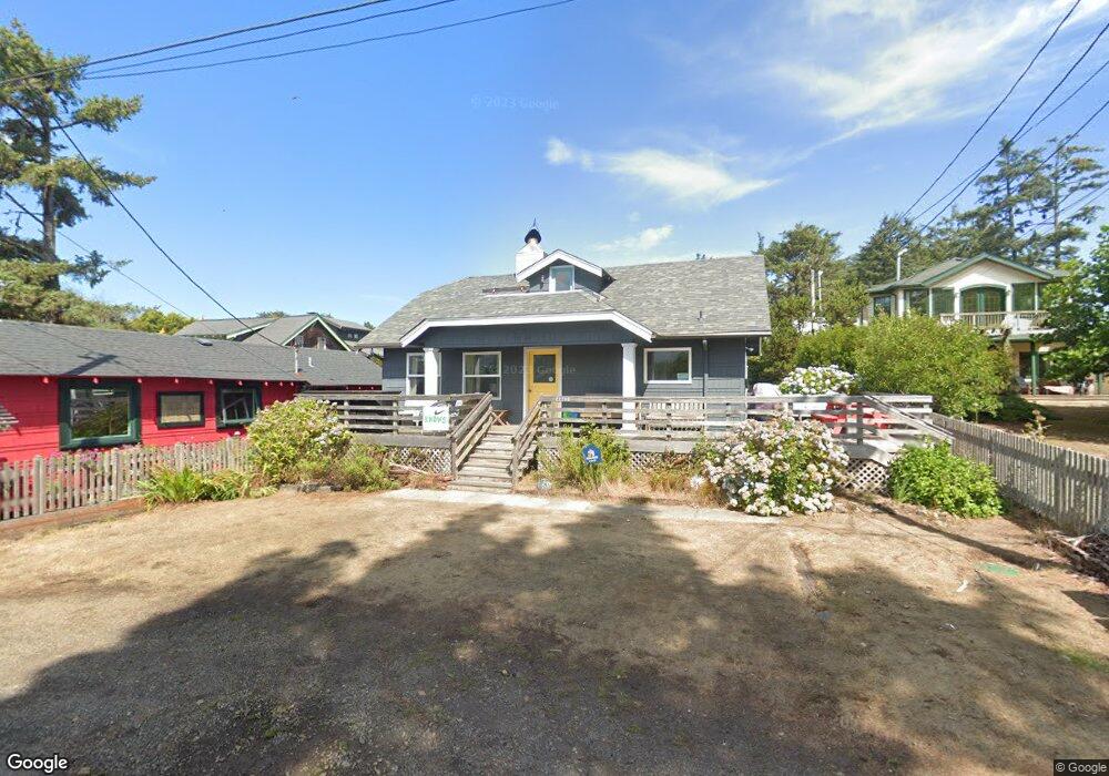
4440 Independence Ave Neskowin, OR 97149
Estimated Value: $671,524 - $1,292,000
4
Beds
3
Baths
1,788
Sq Ft
$497/Sq Ft
Est. Value
About This Home
This home is located at 4440 Independence Ave, Neskowin, OR 97149 and is currently estimated at $888,631, approximately $496 per square foot. 4440 Independence Ave is a home with nearby schools including Nestucca K-8 School and Nestucca High School.
Ownership History
Date
Name
Owned For
Owner Type
Purchase Details
Closed on
Aug 12, 2005
Sold by
Allen Michael E
Bought by
Gerrish Katharine O
Current Estimated Value
Home Financials for this Owner
Home Financials are based on the most recent Mortgage that was taken out on this home.
Original Mortgage
$409,600
Outstanding Balance
$210,541
Interest Rate
5.62%
Mortgage Type
Fannie Mae Freddie Mac
Estimated Equity
$678,090
Create a Home Valuation Report for This Property
The Home Valuation Report is an in-depth analysis detailing your home's value as well as a comparison with similar homes in the area
Home Values in the Area
Average Home Value in this Area
Purchase History
| Date | Buyer | Sale Price | Title Company |
|---|---|---|---|
| Gerrish Katharine O | $512,000 | Multiple |
Source: Public Records
Mortgage History
| Date | Status | Borrower | Loan Amount |
|---|---|---|---|
| Open | Gerrish Katharine O | $409,600 |
Source: Public Records
Tax History Compared to Growth
Tax History
| Year | Tax Paid | Tax Assessment Tax Assessment Total Assessment is a certain percentage of the fair market value that is determined by local assessors to be the total taxable value of land and additions on the property. | Land | Improvement |
|---|---|---|---|---|
| 2024 | $3,871 | $313,610 | $128,740 | $184,870 |
| 2023 | $3,880 | $304,480 | $124,990 | $179,490 |
| 2022 | $3,742 | $295,620 | $121,350 | $174,270 |
| 2021 | $3,637 | $287,010 | $117,820 | $169,190 |
| 2020 | $3,546 | $278,660 | $114,400 | $164,260 |
| 2019 | $3,472 | $270,550 | $111,070 | $159,480 |
| 2018 | $3,204 | $262,670 | $107,840 | $154,830 |
| 2017 | $2,885 | $255,020 | $104,700 | $150,320 |
| 2016 | $2,656 | $247,600 | $101,650 | $145,950 |
| 2015 | $2,745 | $240,390 | $98,690 | $141,700 |
| 2014 | $2,680 | $233,390 | $95,820 | $137,570 |
| 2013 | -- | $226,600 | $93,030 | $133,570 |
Source: Public Records
Map
Nearby Homes
- 48250 Hawk St
- 6600 Schoolhouse Rd
- 48988 Highway 101 S
- 48988 Highway 101 S Unit 338
- 48988 Highway 101 S Unit 137-F
- 49002 S Hwy
- 4850 Schoolhouse Rd
- 49002 U S 101 S
- 4800 Blk Valley View Dr Tl 4000
- 48988 S Highway 101 (#338) Hwy
- 0 Hilltop Ln Unit 704164730
- 49400 Blk Nescove Dr Tl303
- TL 3102 S Beach Rd
- 3102 S Beach Rd
- 0 S Fairway Rd Unit 653571953
- 0 S Fairway Rd Unit 315656510
- 0 S Fairway Rd Unit 454757988
- 49750 Nescove Dr
- 49855 Seasand Rd
- V/L 6500 Hill Crest Dr
- 4430 Independence Ave
- 4410 Independence Ave
- 4450 Independence Ave
- 4435 Silverton Ave
- 4370 Independence Ave
- 4405 Independence Ave
- 4475 Independence Ave
- 4455 Silverton Ave
- 4385 Silverton Ave
- 4455 Independence Ave
- VL48680 Hawk Dr
- 46400 Hawk Dr
- 4360 Independence Ave
- 4465 Independence Ave
- 4395 Independence Ave
- 48520 Hawk Dr
- 4355 Silverton Ave
- 4365 Independence Ave
- 4385 Independence Ave
- 48390 Hawk Dr