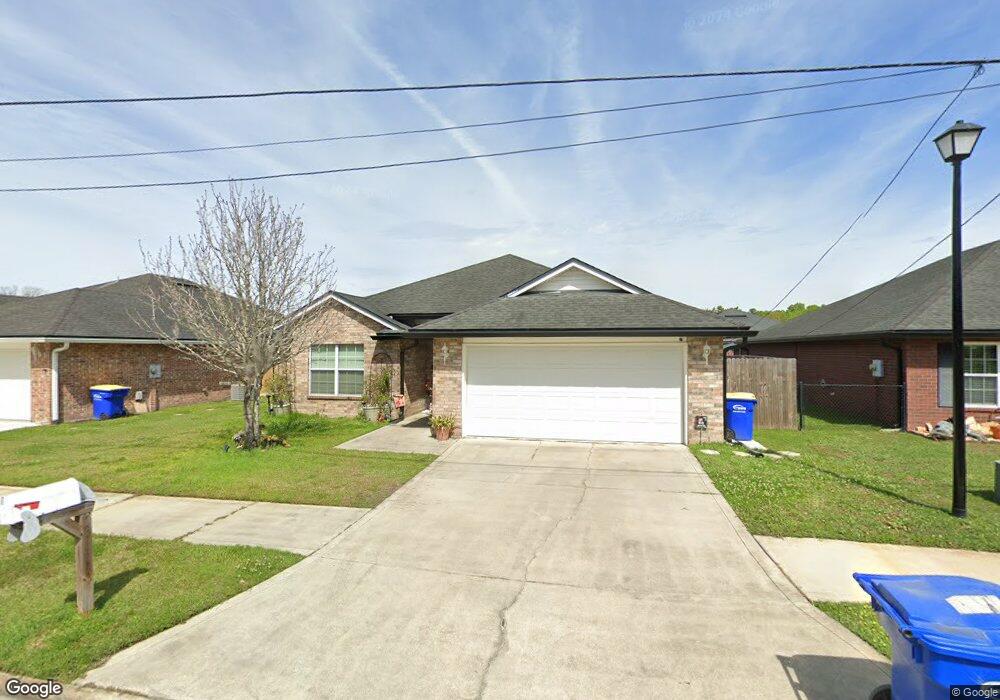
44401 Mary Sauls Cir Callahan, FL 32011
Estimated Value: $297,335 - $339,000
3
Beds
2
Baths
1,510
Sq Ft
$212/Sq Ft
Est. Value
About This Home
This home is located at 44401 Mary Sauls Cir, Callahan, FL 32011 and is currently estimated at $320,834, approximately $212 per square foot. 44401 Mary Sauls Cir is a home located in Nassau County with nearby schools including Callahan Elementary School, Callahan Intermediate School, and Callahan Middle School.
Ownership History
Date
Name
Owned For
Owner Type
Purchase Details
Closed on
Dec 5, 2022
Sold by
Portman Taylor
Bought by
Portman Ashten
Current Estimated Value
Purchase Details
Closed on
Apr 10, 2020
Sold by
Portman Taylor Robert and Portman Ashten Noel
Bought by
Portman Taylor Robert and Portman Ashten Noel
Home Financials for this Owner
Home Financials are based on the most recent Mortgage that was taken out on this home.
Original Mortgage
$147,792
Interest Rate
4.25%
Mortgage Type
FHA
Purchase Details
Closed on
Nov 7, 2018
Sold by
Allen Travis Joel
Bought by
Portman Taylor Robert and Padgett Ashten Noel
Home Financials for this Owner
Home Financials are based on the most recent Mortgage that was taken out on this home.
Original Mortgage
$148,397
Interest Rate
5.25%
Mortgage Type
FHA
Purchase Details
Closed on
Oct 10, 2008
Sold by
Branch Creek Llc
Bought by
Allen Travis Joel
Create a Home Valuation Report for This Property
The Home Valuation Report is an in-depth analysis detailing your home's value as well as a comparison with similar homes in the area
Home Values in the Area
Average Home Value in this Area
Purchase History
| Date | Buyer | Sale Price | Title Company |
|---|---|---|---|
| Portman Ashten | $100 | -- | |
| Portman Ashten | $100 | None Listed On Document | |
| Portman Taylor Robert | -- | Vylla Title Llc | |
| Portman Taylor Robert | $153,780 | Attorney | |
| Allen Travis Joel | $160,000 | Attorney |
Source: Public Records
Mortgage History
| Date | Status | Borrower | Loan Amount |
|---|---|---|---|
| Previous Owner | Portman Taylor Robert | $147,792 | |
| Previous Owner | Portman Taylor Robert | $148,397 |
Source: Public Records
Tax History Compared to Growth
Tax History
| Year | Tax Paid | Tax Assessment Tax Assessment Total Assessment is a certain percentage of the fair market value that is determined by local assessors to be the total taxable value of land and additions on the property. | Land | Improvement |
|---|---|---|---|---|
| 2024 | $2,682 | $217,875 | -- | -- |
| 2023 | $2,682 | $211,529 | $0 | $0 |
| 2022 | $2,457 | $205,368 | $40,000 | $165,368 |
| 2021 | $2,675 | $185,420 | $35,000 | $150,420 |
| 2020 | $2,357 | $146,170 | $20,000 | $126,170 |
| 2019 | $2,421 | $147,205 | $20,000 | $127,205 |
| 2018 | $2,373 | $148,240 | $0 | $0 |
| 2017 | $2,075 | $125,728 | $0 | $0 |
| 2016 | $1,127 | $107,344 | $0 | $0 |
| 2015 | $1,148 | $106,598 | $0 | $0 |
| 2014 | $1,148 | $105,752 | $0 | $0 |
Source: Public Records
Map
Nearby Homes
- 45792 Pickett St
- 0 Old Dixie Hwy Unit 2052109
- 44025 Woodside Ln
- 45168 Brown St
- 541641 Route 1
- 45107 Booth St
- 0 Lem Turner Rd Unit 2056110
- 0 Lem Turner Rd Unit 110226
- 45134 Booth St
- TBD U S 301
- 45112 Second Ave
- 44090 Apache Trail
- 45071 Hodges Rd
- 545819 Route 1
- 0 New Ogilvie Rd Unit 108180
- 0 New Ogilvie Rd
- 44091 Caulkins Dr
- 0 Us Highway 1 Unit 2104580
- 45047 Amhurst Oaks Dr
- 45113 Red Brick Dr
- 44417 Mary Sauls Cir
- 44385 Mary Sauls Cir
- 45341 Weaver Cir
- 44433 Mary Sauls Cir
- 45327 Weaver Cir
- 45361 Weaver Cir
- 44443 Mary Sauls Cir
- 45313 Weaver Cir
- 44285 Weaver Cir
- 44449 Mary Sauls Cir
- 44367 Mary Sauls Cir
- 45303 Weaver Cir
- 2306 Sauls Cir
- 45049 Weaver Cir
- 45350 Weaver Cir
- 44353 Mary Sauls Cir
- 44463 Mary Sauls Cir
- 45060 Weaver Cir
- 45299 Weaver Cir
- 45061 Weaver Cir