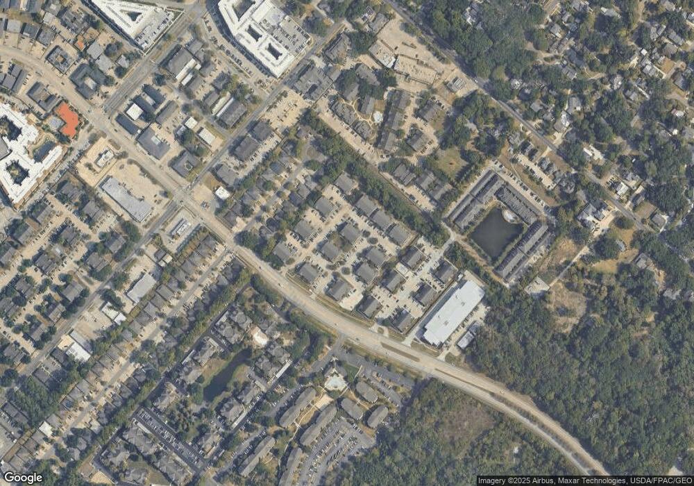
4441 Burbank Dr Unit 1207 Baton Rouge, LA 70820
Highlands/Perkins NeighborhoodEstimated Value: $166,000 - $180,000
2
Beds
2
Baths
1,270
Sq Ft
$137/Sq Ft
Est. Value
About This Home
This home is located at 4441 Burbank Dr Unit 1207, Baton Rouge, LA 70820 and is currently estimated at $174,536, approximately $137 per square foot. 4441 Burbank Dr Unit 1207 is a home located in East Baton Rouge Parish with nearby schools including University Terrace Elementary School, Glasgow Middle School, and Mckinley Senior High School.
Ownership History
Date
Name
Owned For
Owner Type
Purchase Details
Closed on
Apr 9, 2025
Sold by
Mears Karl David and Mears Tasha Michelle
Bought by
Micdav Llc and Mears
Current Estimated Value
Purchase Details
Closed on
Nov 4, 2016
Sold by
The William F Borne Family Trust A Louis
Bought by
Mears Karl David and Mears Tasha Michelle Bierig
Home Financials for this Owner
Home Financials are based on the most recent Mortgage that was taken out on this home.
Original Mortgage
$145,350
Interest Rate
3.48%
Mortgage Type
Unknown
Purchase Details
Closed on
May 1, 2007
Sold by
Doucet Charles R
Bought by
Lewis Arthur C
Home Financials for this Owner
Home Financials are based on the most recent Mortgage that was taken out on this home.
Original Mortgage
$137,200
Interest Rate
6.1%
Mortgage Type
Construction
Create a Home Valuation Report for This Property
The Home Valuation Report is an in-depth analysis detailing your home's value as well as a comparison with similar homes in the area
Home Values in the Area
Average Home Value in this Area
Purchase History
| Date | Buyer | Sale Price | Title Company |
|---|---|---|---|
| Micdav Llc | $163,200 | None Listed On Document | |
| Micdav Llc | $163,200 | None Listed On Document | |
| Mears Karl David | $153,000 | Baton Rouge Title Co Inc | |
| Lewis Arthur C | $189,000 | -- |
Source: Public Records
Mortgage History
| Date | Status | Borrower | Loan Amount |
|---|---|---|---|
| Previous Owner | Mears Karl David | $145,350 | |
| Previous Owner | Lewis Arthur C | $137,200 |
Source: Public Records
Tax History Compared to Growth
Tax History
| Year | Tax Paid | Tax Assessment Tax Assessment Total Assessment is a certain percentage of the fair market value that is determined by local assessors to be the total taxable value of land and additions on the property. | Land | Improvement |
|---|---|---|---|---|
| 2024 | $1,700 | $17,329 | $1,000 | $16,329 |
| 2023 | $1,700 | $16,000 | $1,000 | $15,000 |
| 2022 | $1,595 | $16,000 | $1,000 | $15,000 |
| 2021 | $1,560 | $16,000 | $1,000 | $15,000 |
| 2020 | $1,543 | $16,000 | $1,000 | $15,000 |
| 2019 | $1,547 | $15,300 | $1,000 | $14,300 |
| 2018 | $1,524 | $15,300 | $1,000 | $14,300 |
| 2017 | $1,524 | $15,300 | $1,000 | $14,300 |
| 2016 | $1,730 | $17,900 | $1,000 | $16,900 |
| 2015 | $2,089 | $17,900 | $1,000 | $16,900 |
| 2014 | $2,082 | $17,900 | $1,000 | $16,900 |
| 2013 | -- | $17,900 | $1,000 | $16,900 |
Source: Public Records
Map
Nearby Homes
- 4441 Burbank Dr Unit 308
- 4441 Burbank Dr Unit 905
- 4441 Burbank Dr Unit 602
- 457 Jennifer Jean Dr Unit 457
- 463 Jennifer Jean Dr Unit 2
- 436 Jennifer Jean Dr Unit 438
- 141 E Boyd Dr Unit 209
- 141 E Boyd Dr Unit 308
- 4637 Burbank Dr Unit 206
- 352 E Boyd Dr Unit 201
- 4411 Highland Rd
- 710 E Boyd Dr Unit 406
- 710 E Boyd Dr Unit 1602
- 710 E Boyd Dr Unit 1806
- 710 E Boyd Dr Unit 608
- 710 E Boyd Dr Unit 302
- 827 E Boyd Dr Unit A
- 225 Amherst Ave
- 4852 Highland Rd
- 335 Cornell Ave
- 4441 Burbank Dr Unit 507
- 4441 Burbank Dr Unit 907
- 4441 Burbank Dr Unit 903
- 4441 Burbank Dr Unit 708
- 4441 Burbank Dr Unit 505
- 4441 Burbank Dr Unit 707
- 4441 Burbank Dr Unit 1002
- 4441 Burbank Dr Unit 603
- 4441 Burbank Dr Unit 705
- 4441 Burbank Dr Unit 605
- 4441 Burbank Dr Unit 502
- 4441 Burbank Dr Unit 1306
- 4441 Burbank Dr Unit 302
- 4441 Burbank Dr Unit 607
- 4441 Burbank Dr Unit 1302
- 4441 Burbank Dr Unit 1202
- 4441 Burbank Dr Unit 703
- 4441 Burbank Dr Unit 1301
- 4441 Burbank Dr Unit 1006
- 4441 Burbank Dr Unit 1304
