Estimated Value: $232,928 - $331,000
5
Beds
2
Baths
2,229
Sq Ft
$125/Sq Ft
Est. Value
About This Home
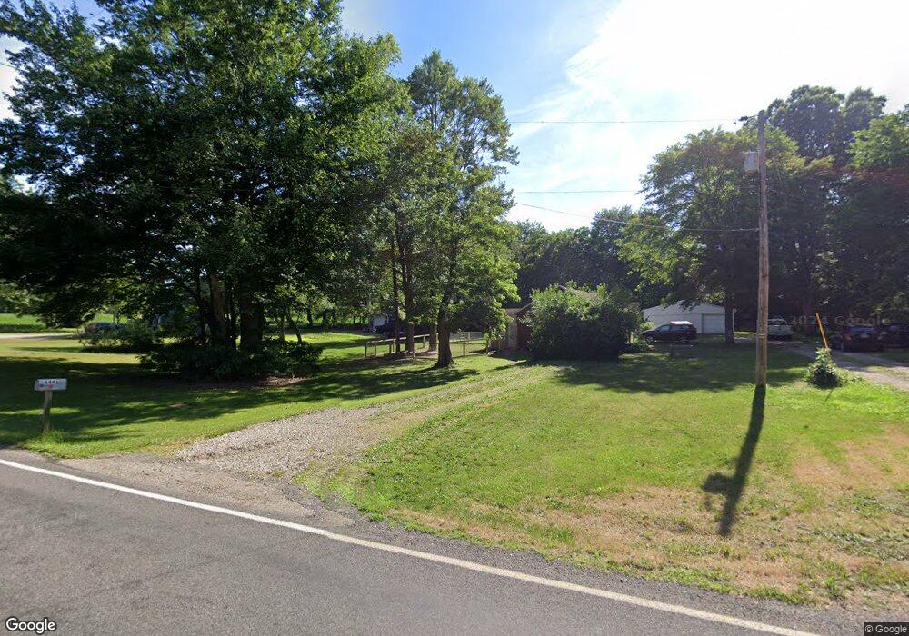
This home is located at 4441 Sherman Rd, Kent, OH 44240 and is currently estimated at $279,732, approximately $125 per square foot. 4441 Sherman Rd is a home located in Portage County with nearby schools including Brimfield Elementary School, Field Middle School, and Field High School.
Ownership History
Date
Name
Owned For
Owner Type
Purchase Details
Closed on
Nov 19, 2020
Sold by
Sherman Properties Of Ohio Llc
Bought by
Cartell Timmy George and Cartell Deborah Patterson
Current Estimated Value
Purchase Details
Closed on
Jul 23, 2010
Sold by
Cartell Tim and Cartell Deborah
Bought by
Sherman Properties Of Ohio Llc
Purchase Details
Closed on
Feb 24, 2009
Sold by
Hunt Nora N and Hunt Norma N
Bought by
Cartell Timmy G
Purchase Details
Closed on
Jan 20, 2004
Sold by
Hunt Norma N
Bought by
Cartell Timmy G and Hunt Norma N
Create a Home Valuation Report for This Property
The Home Valuation Report is an in-depth analysis detailing your home's value as well as a comparison with similar homes in the area
Home Values in the Area
Average Home Value in this Area
Purchase History
| Date | Buyer | Sale Price | Title Company |
|---|---|---|---|
| Cartell Timmy George | -- | None Available | |
| Sherman Properties Of Ohio Llc | -- | Attorney | |
| Cartell Timmy G | -- | Attorney | |
| Cartell Timmy G | -- | -- |
Source: Public Records
Tax History Compared to Growth
Tax History
| Year | Tax Paid | Tax Assessment Tax Assessment Total Assessment is a certain percentage of the fair market value that is determined by local assessors to be the total taxable value of land and additions on the property. | Land | Improvement |
|---|---|---|---|---|
| 2024 | $2,850 | $58,420 | $43,260 | $15,160 |
| 2023 | $3,246 | $53,800 | $27,060 | $26,740 |
| 2022 | $3,255 | $53,800 | $27,060 | $26,740 |
| 2021 | $3,174 | $53,800 | $27,060 | $26,740 |
| 2020 | $3,069 | $47,010 | $27,060 | $19,950 |
| 2019 | $3,030 | $47,010 | $27,060 | $19,950 |
| 2018 | $2,597 | $42,640 | $27,060 | $15,580 |
| 2017 | $2,335 | $42,640 | $27,060 | $15,580 |
| 2016 | $2,329 | $42,640 | $27,060 | $15,580 |
| 2015 | $2,257 | $42,640 | $27,060 | $15,580 |
| 2014 | $2,180 | $42,640 | $27,060 | $15,580 |
| 2013 | $2,151 | $42,640 | $27,060 | $15,580 |
Source: Public Records
Map
Nearby Homes
- 1354 Brimfield Dr
- 4088 Lynwood Dr
- 4837 King Meadow Trail
- 4891 Edson Rd
- 4682 State Route 43
- 1755 Honeychuck Ln
- 2092 Sugar Maple Dr
- 2105 Sugar Maple Dr
- 3868 Willow Way
- 2182 Sugar Maple Dr
- 1523 Queenstown Rd
- 3793 Ranfield Rd
- 5123 Troyer Dr
- Poplar Plan at Woodland Reserve
- Nassau Cove Plan at Woodland Reserve
- 4938 Brower Tree Ln
- V/L Sherman Rd
- 3672 Elmhurst Ct
- 3579 Elmhurst Ct
- 3658 Elmhurst Ct